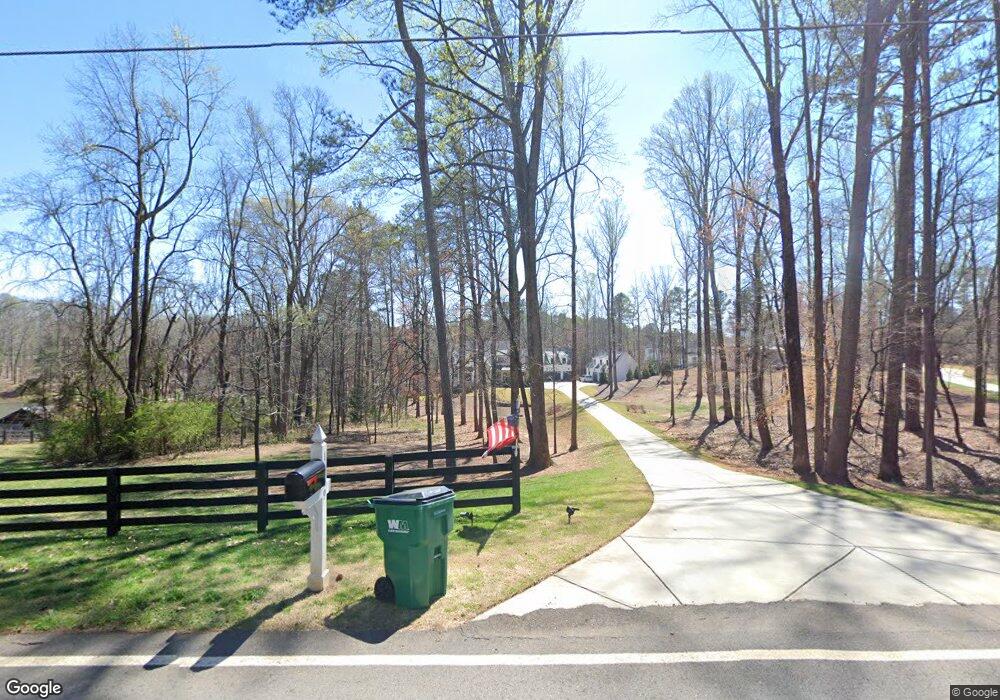
1309 A J Land Rd Canton, GA 30115
Union Hill NeighborhoodEstimated Value: $1,100,000 - $2,263,000
5
Beds
6
Baths
5,304
Sq Ft
$337/Sq Ft
Est. Value
About This Home
This home is located at 1309 A J Land Rd, Canton, GA 30115 and is currently estimated at $1,785,731, approximately $336 per square foot. 1309 A J Land Rd is a home located in Cherokee County with nearby schools including Avery Elementary School, Creekland Middle School, and Creekview High School.
Ownership History
Date
Name
Owned For
Owner Type
Purchase Details
Closed on
Dec 27, 2019
Sold by
Jl3 Llc
Bought by
Irby Wendell L and Irby Mary L
Current Estimated Value
Purchase Details
Closed on
Apr 9, 2019
Sold by
Jl3 Llc
Bought by
Griffin Steve and Griffin Candace
Home Financials for this Owner
Home Financials are based on the most recent Mortgage that was taken out on this home.
Original Mortgage
$735,000
Interest Rate
4.3%
Mortgage Type
New Conventional
Purchase Details
Closed on
Oct 4, 2016
Sold by
Rita
Bought by
Jl3 Llc
Purchase Details
Closed on
Jun 8, 2016
Sold by
Hicks Barbara P
Bought by
Jackson Rita
Create a Home Valuation Report for This Property
The Home Valuation Report is an in-depth analysis detailing your home's value as well as a comparison with similar homes in the area
Home Values in the Area
Average Home Value in this Area
Purchase History
| Date | Buyer | Sale Price | Title Company |
|---|---|---|---|
| Irby Wendell L | $1,200,000 | -- | |
| Griffin Steve | $1,050,000 | -- | |
| Jl3 Llc | -- | -- | |
| Jl3 Llc | $437,000 | -- | |
| Jackson Rita | -- | -- | |
| Jackson Rita | -- | -- |
Source: Public Records
Mortgage History
| Date | Status | Borrower | Loan Amount |
|---|---|---|---|
| Previous Owner | Griffin Steve | $735,000 |
Source: Public Records
Tax History Compared to Growth
Tax History
| Year | Tax Paid | Tax Assessment Tax Assessment Total Assessment is a certain percentage of the fair market value that is determined by local assessors to be the total taxable value of land and additions on the property. | Land | Improvement |
|---|---|---|---|---|
| 2025 | $3,814 | $690,920 | $120,101 | $570,819 |
| 2024 | $12,504 | $690,920 | $119,025 | $571,895 |
| 2023 | $12,129 | $689,640 | $99,440 | $590,200 |
| 2022 | $11,281 | $606,280 | $145,000 | $461,280 |
| 2021 | $9,571 | $483,320 | $127,600 | $355,720 |
| 2020 | $8,432 | $431,880 | $116,000 | $315,880 |
| 2019 | $9,143 | $321,760 | $47,200 | $274,560 |
| 2018 | $4,573 | $159,960 | $116,200 | $43,760 |
| 2017 | $1,612 | $293,000 | $116,200 | $1,000 |
| 2016 | $1,612 | $138,400 | $37,840 | $17,520 |
| 2015 | $1,639 | $139,400 | $37,840 | $17,920 |
| 2014 | $1,454 | $123,400 | $31,800 | $17,560 |
Source: Public Records
Map
Nearby Homes
- 1350 A J Land Rd
- 1513 Old Jones Rd
- 40 Crowe Rd
- 5211 Union Hill Rd
- 112 Serenity Lake Dr
- 2111 Jade Dr
- 5219 Union Hill Rd
- 16280 Clarity Rd
- 520 Gaddis Rd
- 9530 Union Hill Rd
- 1013 Hickory Woods Way
- 384 Hickory Pass
- 309 Sourwood Ln
- 122 Long Shadows Dr
- 1005 Haddie Way
- 1000 Haddie Way
- 124 Long Shadows Dr
- 1585 Roper Rd
- 6000 Union Hill Rd
- 772 Old Lathemtown Rd
- 1309 A J Land Rd Unit A
- 0 Aj Land Rd Unit 158 7120282
- 0 Aj Land Rd Unit 158 7318364
- 0 Aj Land Rd Unit 5166936
- 0 Aj Land Rd Unit 5366356
- 00 Aj Land Rd
- 0 Aj Land Rd Unit 6846434
- A A J Land Rd Unit 158
- A A J Land Rd Unit 86
- 1344 A J Land Rd
- A A J Land Rd
- A A J Land Rd Unit A
- 1313 A J Land Rd
- 1026 A J Land Rd
- 1361 A J Land Rd
- 1210 A J Land Rd
- 1650 Gantt Rd
- 1320 A J Land Rd
- 1614 Gantt Rd Unit 3
- 1614 Gantt Rd