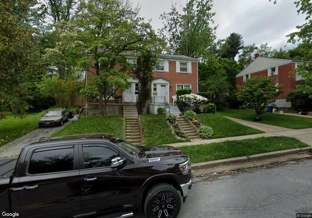
1309 Brixton Rd Baltimore, MD 21239
Estimated Value: $270,566 - $323,000
3
Beds
2
Baths
1,280
Sq Ft
$236/Sq Ft
Est. Value
About This Home
This home is located at 1309 Brixton Rd, Baltimore, MD 21239 and is currently estimated at $302,142, approximately $236 per square foot. 1309 Brixton Rd is a home located in Baltimore County with nearby schools including Halstead Academy, Loch Raven Technical Academy, and Towson High Law & Public Policy.
Ownership History
Date
Name
Owned For
Owner Type
Purchase Details
Closed on
Oct 20, 2010
Sold by
Miller James D
Bought by
Mckee Vernice R
Current Estimated Value
Home Financials for this Owner
Home Financials are based on the most recent Mortgage that was taken out on this home.
Original Mortgage
$175,634
Outstanding Balance
$116,018
Interest Rate
4.37%
Mortgage Type
FHA
Estimated Equity
$186,124
Purchase Details
Closed on
Oct 8, 1991
Sold by
Hettrick Kristen A
Bought by
Miller James D
Create a Home Valuation Report for This Property
The Home Valuation Report is an in-depth analysis detailing your home's value as well as a comparison with similar homes in the area
Home Values in the Area
Average Home Value in this Area
Purchase History
| Date | Buyer | Sale Price | Title Company |
|---|---|---|---|
| Mckee Vernice R | $178,000 | -- | |
| Miller James D | $105,000 | -- |
Source: Public Records
Mortgage History
| Date | Status | Borrower | Loan Amount |
|---|---|---|---|
| Open | Mckee Vernice R | $175,634 |
Source: Public Records
Tax History Compared to Growth
Tax History
| Year | Tax Paid | Tax Assessment Tax Assessment Total Assessment is a certain percentage of the fair market value that is determined by local assessors to be the total taxable value of land and additions on the property. | Land | Improvement |
|---|---|---|---|---|
| 2025 | $2,823 | $198,500 | $80,000 | $118,500 |
| 2024 | $2,823 | $190,367 | $0 | $0 |
| 2023 | $1,364 | $182,233 | $0 | $0 |
| 2022 | $2,581 | $174,100 | $80,000 | $94,100 |
| 2021 | $2,543 | $169,533 | $0 | $0 |
| 2020 | $2,543 | $164,967 | $0 | $0 |
| 2019 | $2,415 | $160,400 | $80,000 | $80,400 |
| 2018 | $2,346 | $158,767 | $0 | $0 |
| 2017 | $2,714 | $157,133 | $0 | $0 |
| 2016 | $2,272 | $155,500 | $0 | $0 |
| 2015 | $2,272 | $155,500 | $0 | $0 |
| 2014 | $2,272 | $155,500 | $0 | $0 |
Source: Public Records
Map
Nearby Homes
- 1204 Saint Andrews Way
- 6702 Queens Ferry Rd
- 1108 Litchfield Rd
- 6931 Summit Cir
- 6923 Summit Cir
- 908 Stevenson Ln
- 703 Hillen Rd
- 701 Hillen Rd
- 12 Stone Ridge Ct
- 28 Stone Ridge Ct
- 6415 Falkirk Rd
- 1211 Dalton Rd
- 1304 Dartmouth Ave
- 1602 Glen Keith Blvd
- 6216 Falkirk Rd
- 1641 Cottage Ln
- 1316 Dartmouth Ave
- 625 Yarmouth Rd
- 6204 Falkirk Rd
- 1235 Walker Ave
- 1311 Brixton Rd
- 1307 Brixton Rd
- 1313 Brixton Rd
- 1303 Brixton Rd
- 1315 Brixton Rd
- 1304 Highland Dr
- 1306 Highland Dr
- 1302 Highland Dr
- 1301 Brixton Rd
- 1308 Highland Dr
- 1317 Brixton Rd
- 1308 Brixton Rd
- 1306 Brixton Rd
- 1310 Brixton Rd
- 1312 Brixton Rd
- 1300 Highland Dr
- 1304 Brixton Rd
- 1302 Brixton Rd
- 1314 Brixton Rd
- 1310 Highland Dr