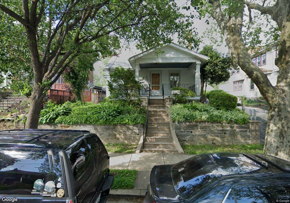
1309 Disston St Philadelphia, PA 19111
Castor Gardens NeighborhoodEstimated Value: $321,441 - $405,000
3
Beds
--
Bath
1,350
Sq Ft
$260/Sq Ft
Est. Value
About This Home
This home is located at 1309 Disston St, Philadelphia, PA 19111 and is currently estimated at $350,860, approximately $259 per square foot. 1309 Disston St is a home located in Philadelphia County with nearby schools including J. Hampton Moore School, Castor Gardens Middle School, and Northeast High School.
Ownership History
Date
Name
Owned For
Owner Type
Purchase Details
Closed on
May 3, 2006
Sold by
White Edward A and White Helen A
Bought by
Aguayo David
Current Estimated Value
Home Financials for this Owner
Home Financials are based on the most recent Mortgage that was taken out on this home.
Original Mortgage
$177,160
Outstanding Balance
$111,416
Interest Rate
7.95%
Mortgage Type
Purchase Money Mortgage
Estimated Equity
$239,444
Create a Home Valuation Report for This Property
The Home Valuation Report is an in-depth analysis detailing your home's value as well as a comparison with similar homes in the area
Home Values in the Area
Average Home Value in this Area
Purchase History
| Date | Buyer | Sale Price | Title Company |
|---|---|---|---|
| Aguayo David | $221,450 | None Available |
Source: Public Records
Mortgage History
| Date | Status | Borrower | Loan Amount |
|---|---|---|---|
| Open | Aguayo David | $177,160 |
Source: Public Records
Tax History Compared to Growth
Tax History
| Year | Tax Paid | Tax Assessment Tax Assessment Total Assessment is a certain percentage of the fair market value that is determined by local assessors to be the total taxable value of land and additions on the property. | Land | Improvement |
|---|---|---|---|---|
| 2025 | $3,555 | $305,400 | $61,080 | $244,320 |
| 2024 | $3,555 | $305,400 | $61,080 | $244,320 |
| 2023 | $3,555 | $254,000 | $50,800 | $203,200 |
| 2022 | $1,915 | $209,000 | $50,800 | $158,200 |
| 2021 | $2,545 | $0 | $0 | $0 |
| 2020 | $2,545 | $0 | $0 | $0 |
| 2019 | $2,538 | $0 | $0 | $0 |
| 2018 | $2,097 | $0 | $0 | $0 |
| 2017 | $2,517 | $0 | $0 | $0 |
| 2016 | $2,097 | $0 | $0 | $0 |
| 2015 | $2,007 | $0 | $0 | $0 |
| 2014 | -- | $179,800 | $77,500 | $102,300 |
| 2012 | -- | $22,720 | $10,962 | $11,758 |
Source: Public Records
Map
Nearby Homes
- 1341 Tyson Ave
- 1305 Glenview St
- 1336 Longshore Ave
- 7004 Loretto Ave
- 1202 Disston St
- 1300 Glenview St
- 6839 Summerdale Ave
- 1217 Princeton Ave
- 1216 Knorr St
- 1114 Brighton St
- 1133 Knorr St
- 1329 Saint Vincent St
- 1425 Friendship St
- 7019 Rutland St
- 1116 Friendship St
- 7035 Rutland St
- 1324 Unruh Ave
- 1136 Kerper St
- 1055 Tyson Ave
- 1417 Unruh Ave
- 1305 Disston St
- 1315 Disston St
- 1301 Disston St
- 1319 Disston St
- 1308 Tyson Ave
- 1304 Tyson Ave
- 1321 Disston St
- 1312 Tyson Ave
- 1300 Tyson Ave
- 1302 Disston St
- 1323 Disston St
- 1308 Disston St
- 1310 Disston St
- 1318 Tyson Ave
- 6907 Frontenac St
- 1312 Disston St
- 1325 Disston St Unit 27
- 1314 Disston St
- 1306 Tyson Ave
- 1320 Tyson Ave