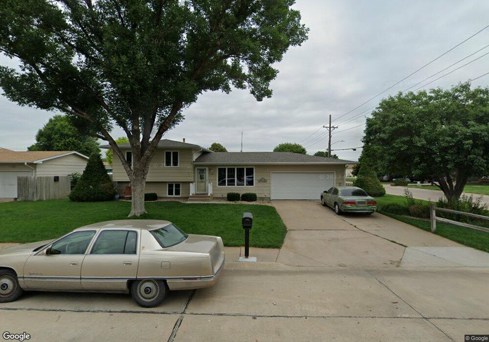
1309 E 5th St Hastings, NE 68901
Estimated Value: $246,000 - $273,000
3
Beds
2
Baths
1,240
Sq Ft
$206/Sq Ft
Est. Value
About This Home
This home is located at 1309 E 5th St, Hastings, NE 68901 and is currently estimated at $255,895, approximately $206 per square foot. 1309 E 5th St is a home located in Adams County with nearby schools including Hastings Senior High School, St. Michael's Preschool & Elementary School, and St. Cecilia High School.
Ownership History
Date
Name
Owned For
Owner Type
Purchase Details
Closed on
Jun 6, 2024
Sold by
Hinrichs Tyler John and Hinrichs Jordan L
Bought by
King Ayden and Esch Jenna
Current Estimated Value
Purchase Details
Closed on
Sep 29, 2022
Sold by
Pawloski Gary D
Bought by
Hinrichs Jordon M
Purchase Details
Closed on
Nov 11, 2010
Sold by
Davis Ronald and Davis Beverly K
Bought by
Pawloski Gary D and Marble Nora L
Home Financials for this Owner
Home Financials are based on the most recent Mortgage that was taken out on this home.
Original Mortgage
$77,000
Interest Rate
4.32%
Mortgage Type
New Conventional
Purchase Details
Closed on
Sep 21, 2010
Sold by
Federal National Mortgage Association
Bought by
Johnson Waylon W
Home Financials for this Owner
Home Financials are based on the most recent Mortgage that was taken out on this home.
Original Mortgage
$77,000
Interest Rate
4.32%
Mortgage Type
New Conventional
Create a Home Valuation Report for This Property
The Home Valuation Report is an in-depth analysis detailing your home's value as well as a comparison with similar homes in the area
Home Values in the Area
Average Home Value in this Area
Purchase History
| Date | Buyer | Sale Price | Title Company |
|---|---|---|---|
| King Ayden | $176,000 | Prairie Title | |
| Hinrichs Jordon M | $234,000 | -- | |
| Pawloski Gary D | $127,000 | None Available | |
| Johnson Waylon W | -- | Down Adams Land Title |
Source: Public Records
Mortgage History
| Date | Status | Borrower | Loan Amount |
|---|---|---|---|
| Previous Owner | Pawloski Gary D | $77,000 |
Source: Public Records
Tax History
| Year | Tax Paid | Tax Assessment Tax Assessment Total Assessment is a certain percentage of the fair market value that is determined by local assessors to be the total taxable value of land and additions on the property. | Land | Improvement |
|---|---|---|---|---|
| 2025 | $3,672 | $234,832 | $24,000 | $210,832 |
| 2024 | $3,048 | $192,064 | $24,000 | $168,064 |
| 2023 | $3,894 | $188,704 | $24,000 | $164,704 |
| 2022 | $0 | $143,123 | $24,000 | $119,123 |
| 2021 | $2,170 | $123,419 | $18,000 | $105,419 |
| 2020 | $2,170 | $118,399 | $18,000 | $100,399 |
| 2019 | $2,170 | $116,430 | $18,000 | $98,430 |
| 2018 | $0 | $106,830 | $8,400 | $98,430 |
| 2017 | $0 | $103,045 | $0 | $0 |
| 2016 | $2,170 | $101,190 | $8,400 | $92,790 |
| 2011 | -- | $0 | $0 | $0 |
Source: Public Records
Map
Nearby Homes
- 611 Thomas Dr Unit 611
- 618 Thomas Dr Unit 618
- 616 N 4th Ave
- 6 Maywood Dr
- 12 Avalon Ln
- 1 Windsor Dr
- 1011 E 7th St
- 1210 University St
- 907 E 6th St
- 1120 Pleasant St
- 1007 University Ave
- 803 E 7th St
- 747 E 2nd St
- 730 E 6th St
- 724 E 5th St
- 519 E 7th St
- 411 University Ave
- 218 E 4th St
- 214 E 7th St
- 211 S California Ave
Your Personal Tour Guide
Ask me questions while you tour the home.