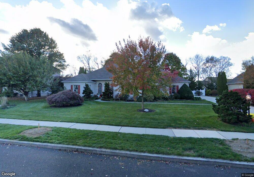
1309 Georgetown Cir Carlisle, PA 17013
Estimated Value: $542,730 - $587,000
4
Beds
2
Baths
2,854
Sq Ft
$198/Sq Ft
Est. Value
About This Home
This home is located at 1309 Georgetown Cir, Carlisle, PA 17013 and is currently estimated at $564,933, approximately $197 per square foot. 1309 Georgetown Cir is a home located in Cumberland County with nearby schools including Mooreland Elementary School, Lamberton Middle School, and Carlisle Area High School.
Ownership History
Date
Name
Owned For
Owner Type
Purchase Details
Closed on
Apr 16, 2015
Sold by
Line Dennis E and Line Pamela L
Bought by
Line Dennis E and Line Pamela L
Current Estimated Value
Purchase Details
Closed on
Apr 14, 2009
Sold by
Greenberg Louise H
Bought by
Line Dennis
Home Financials for this Owner
Home Financials are based on the most recent Mortgage that was taken out on this home.
Original Mortgage
$275,000
Interest Rate
4.93%
Mortgage Type
New Conventional
Create a Home Valuation Report for This Property
The Home Valuation Report is an in-depth analysis detailing your home's value as well as a comparison with similar homes in the area
Home Values in the Area
Average Home Value in this Area
Purchase History
| Date | Buyer | Sale Price | Title Company |
|---|---|---|---|
| Line Dennis E | -- | -- | |
| Line Dennis | $372,000 | -- |
Source: Public Records
Mortgage History
| Date | Status | Borrower | Loan Amount |
|---|---|---|---|
| Previous Owner | Line Dennis | $275,000 |
Source: Public Records
Tax History Compared to Growth
Tax History
| Year | Tax Paid | Tax Assessment Tax Assessment Total Assessment is a certain percentage of the fair market value that is determined by local assessors to be the total taxable value of land and additions on the property. | Land | Improvement |
|---|---|---|---|---|
| 2025 | $8,746 | $371,400 | $88,600 | $282,800 |
| 2024 | $8,495 | $371,400 | $88,600 | $282,800 |
| 2023 | $8,107 | $371,400 | $88,600 | $282,800 |
| 2022 | $7,991 | $371,400 | $88,600 | $282,800 |
| 2021 | $7,877 | $371,400 | $88,600 | $282,800 |
| 2020 | $7,711 | $371,400 | $88,600 | $282,800 |
| 2019 | $7,550 | $371,400 | $88,600 | $282,800 |
| 2018 | $7,388 | $371,400 | $88,600 | $282,800 |
| 2017 | $7,241 | $371,400 | $88,600 | $282,800 |
| 2016 | -- | $371,400 | $88,600 | $282,800 |
| 2015 | -- | $371,400 | $88,600 | $282,800 |
| 2014 | -- | $371,400 | $88,600 | $282,800 |
Source: Public Records
Map
Nearby Homes
- 1339 Georgetown Cir
- 1215 Georgetown Cir
- 3 Baird Ct
- 911 Walnut St
- 808 Walnut Ln
- 500 Belvedere St
- 628 Yorkshire Dr
- 628 Belvedere St
- 13 Shillington Ln
- 901 Stratford Dr
- 670 W Louther St
- 944 W North St
- 912 Forbes Rd
- 124 Conway St
- 61 Bennington Way
- 2 Bennington Way
- 250 Mooreland Ave
- 808 Wellington Dr
- Carter Plan at Grange - Single Family
- Corby Plan at Grange - Single Family
- 1301 Georgetown Cir
- 1315 Georgetown Cir
- 205 Taunton Dr
- 207 Taunton Dr
- 1303 White Birch Ln
- 1308 Georgetown Cir
- 1306 Georgetown Cir
- 203 Taunton Dr
- 1310 Georgetown Cir
- 1304 Georgetown Cir
- 1312 Georgetown Cir
- 1302 Georgetown Cir
- 1236 White Birch Ln
- 1314 Georgetown Cir
- 1321 Georgetown Cir
- 1221 Georgetown Cir
- 1325 Georgetown Cir
- 1301 Woodward Dr
- 204 Taunton Dr
- 1327 Georgetown Cir