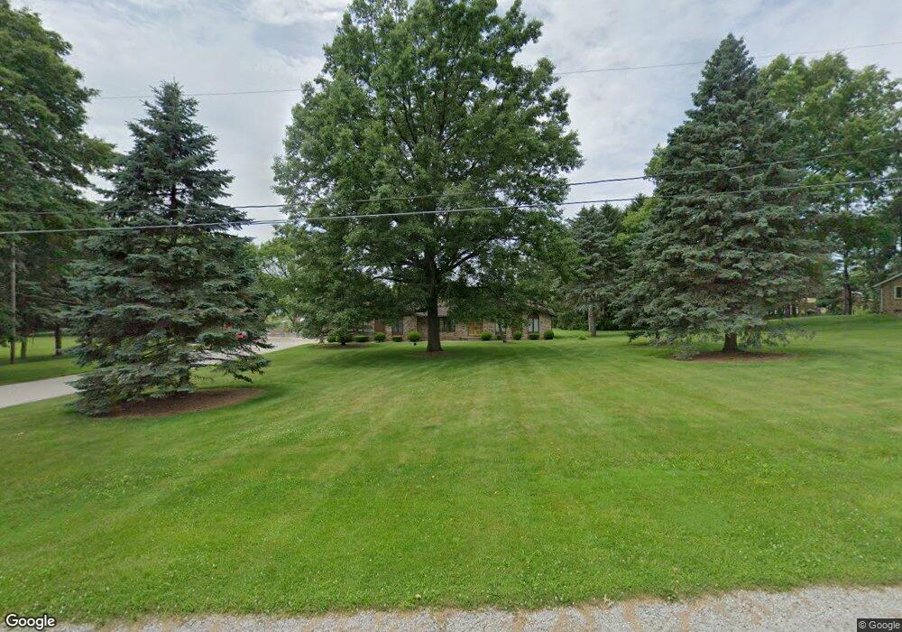
13092 Mike Dr Doylestown, OH 44230
Estimated Value: $329,000 - $454,000
3
Beds
2
Baths
2,320
Sq Ft
$168/Sq Ft
Est. Value
About This Home
This home is located at 13092 Mike Dr, Doylestown, OH 44230 and is currently estimated at $389,557, approximately $167 per square foot. 13092 Mike Dr is a home located in Wayne County with nearby schools including Hazel Harvey Elementary School, Chippewa Intermediate School, and Chippewa Jr./Sr. High School.
Ownership History
Date
Name
Owned For
Owner Type
Purchase Details
Closed on
Nov 8, 2018
Sold by
Genet Edward J and Genet Luvernia D
Bought by
Genet Edward J and Genet Luvernia D
Current Estimated Value
Purchase Details
Closed on
Jan 27, 1988
Sold by
Genet Edward J and Genet Pamela A
Bought by
Genet Edward J
Create a Home Valuation Report for This Property
The Home Valuation Report is an in-depth analysis detailing your home's value as well as a comparison with similar homes in the area
Home Values in the Area
Average Home Value in this Area
Purchase History
| Date | Buyer | Sale Price | Title Company |
|---|---|---|---|
| Genet Edward J | -- | None Available | |
| Genet Edward J | -- | -- |
Source: Public Records
Tax History
| Year | Tax Paid | Tax Assessment Tax Assessment Total Assessment is a certain percentage of the fair market value that is determined by local assessors to be the total taxable value of land and additions on the property. | Land | Improvement |
|---|---|---|---|---|
| 2024 | $4,134 | $119,680 | $24,980 | $94,700 |
| 2023 | $4,154 | $119,680 | $24,980 | $94,700 |
| 2022 | $3,433 | $90,660 | $18,920 | $71,740 |
| 2021 | $3,440 | $90,660 | $18,920 | $71,740 |
| 2020 | $3,462 | $90,660 | $18,920 | $71,740 |
| 2019 | $2,790 | $70,460 | $17,440 | $53,020 |
| 2018 | $2,817 | $70,460 | $17,440 | $53,020 |
| 2017 | $2,794 | $70,460 | $17,440 | $53,020 |
| 2016 | $2,723 | $67,750 | $16,770 | $50,980 |
| 2015 | $2,728 | $67,750 | $16,770 | $50,980 |
| 2014 | $2,397 | $67,750 | $16,770 | $50,980 |
| 2013 | $2,817 | $77,430 | $17,170 | $60,260 |
Source: Public Records
Map
Nearby Homes
- 18592 Edwards Rd Unit 169
- 18592 Edwards Rd Unit 100
- 18592 Edwards Rd Unit 137
- 18592 Edwards Rd Unit 243
- 18592 Edwards Rd Unit 3
- 18592 Edwards Rd
- 12214 Vince Dr
- 18085 Grill Rd
- 14740 Oak Grove Dr Unit 41
- 3388 Symphony Ln
- V/L 1 Grill Rd
- 18331 William Dr
- 3179 Vanderhoof Rd
- 5813 S Cleveland Massillon Rd
- 100 Merlot Ct
- 15240 Hametown Rd
- 325 Catawba Path
- 580 Thorn Way
- 680 Thorn Way
- 620 Thorn Way
- 13132 Mike Dr
- 13052 Mike Dr
- 13103 Mike Dr
- 13055 Mike Dr
- 18957 Edwards Rd
- 19055 Edwards Rd
- 19109 Edwards Rd
- 19014 Edwards Rd
- 13133 Kevin Dr
- 13091 Kevin Dr
- 13051 Kevin Dr
- 13177 Kevin Dr
- 13266 Morgan Dr
- 19086 Edwards Rd
- 19163 Edwards Rd
- 6388 Taylor Rd
- 6366 Taylor Rd
- 6436 Taylor Rd
- 9999 Taylor Rd
- 99999 Taylor Rd
Your Personal Tour Guide
Ask me questions while you tour the home.