13094 Dean Rd Ridgely, MD 21660
Estimated Value: $297,000 - $405,376
--
Bed
2
Baths
2,008
Sq Ft
$185/Sq Ft
Est. Value
About This Home
This home is located at 13094 Dean Rd, Ridgely, MD 21660 and is currently estimated at $370,594, approximately $184 per square foot. 13094 Dean Rd is a home located in Caroline County with nearby schools including Ridgely Elementary School, Lockerman Middle School, and North Caroline High School.
Ownership History
Date
Name
Owned For
Owner Type
Purchase Details
Closed on
Mar 28, 2012
Sold by
Johnson Christa
Bought by
Johnson Christa Maria
Current Estimated Value
Purchase Details
Closed on
Jun 29, 2005
Sold by
Leiss John Wise
Bought by
Johnson Christa
Home Financials for this Owner
Home Financials are based on the most recent Mortgage that was taken out on this home.
Original Mortgage
$293,500
Outstanding Balance
$153,705
Interest Rate
5.71%
Mortgage Type
New Conventional
Estimated Equity
$216,889
Purchase Details
Closed on
Jan 28, 1991
Sold by
Dean Robert J and Betty Ann
Bought by
Leiss John Wise
Home Financials for this Owner
Home Financials are based on the most recent Mortgage that was taken out on this home.
Original Mortgage
$103,000
Interest Rate
9.61%
Create a Home Valuation Report for This Property
The Home Valuation Report is an in-depth analysis detailing your home's value as well as a comparison with similar homes in the area
Home Values in the Area
Average Home Value in this Area
Purchase History
| Date | Buyer | Sale Price | Title Company |
|---|---|---|---|
| Johnson Christa Maria | -- | None Available | |
| Johnson Christa | $286,000 | -- | |
| Leiss John Wise | $108,500 | -- |
Source: Public Records
Mortgage History
| Date | Status | Borrower | Loan Amount |
|---|---|---|---|
| Open | Johnson Christa | $293,500 | |
| Previous Owner | Leiss John Wise | $103,000 |
Source: Public Records
Tax History Compared to Growth
Tax History
| Year | Tax Paid | Tax Assessment Tax Assessment Total Assessment is a certain percentage of the fair market value that is determined by local assessors to be the total taxable value of land and additions on the property. | Land | Improvement |
|---|---|---|---|---|
| 2025 | $2,507 | $269,533 | $0 | $0 |
| 2024 | $2,507 | $241,500 | $79,400 | $162,100 |
| 2023 | $2,387 | $226,900 | $0 | $0 |
| 2022 | $2,272 | $212,300 | $0 | $0 |
| 2021 | $2,060 | $197,700 | $64,400 | $133,300 |
| 2020 | $2,060 | $187,033 | $0 | $0 |
| 2019 | $1,963 | $176,367 | $0 | $0 |
| 2018 | $1,869 | $165,700 | $64,400 | $101,300 |
| 2017 | $1,869 | $165,700 | $0 | $0 |
| 2016 | -- | $165,700 | $0 | $0 |
| 2015 | $1,936 | $170,500 | $0 | $0 |
| 2014 | $1,936 | $170,500 | $0 | $0 |
Source: Public Records
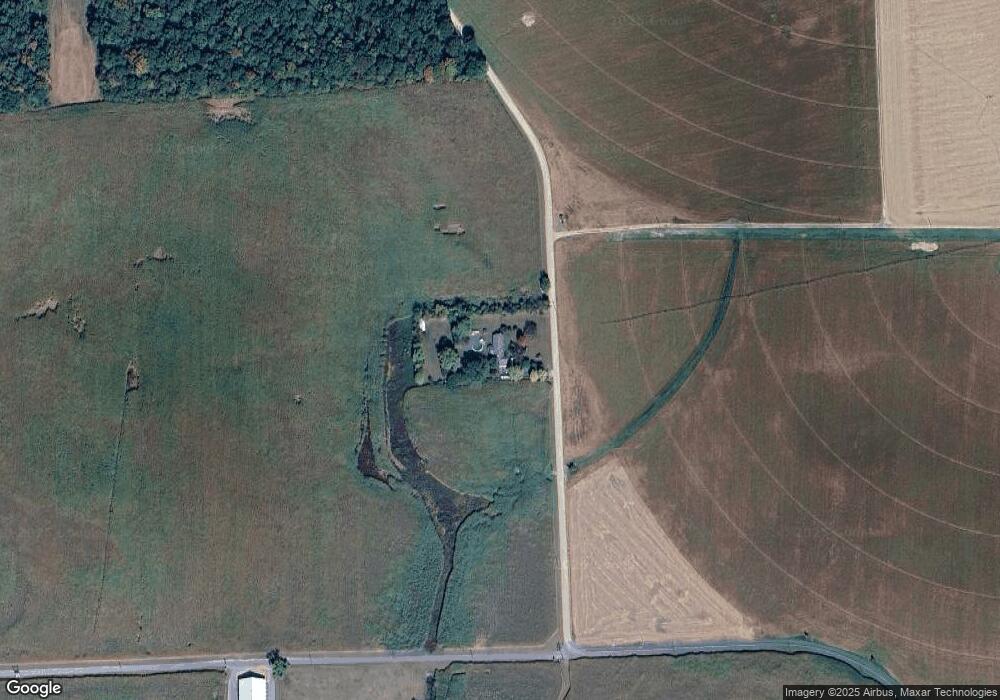
Map
Nearby Homes
- 5 Lister Ln
- 14 N Maple Ave
- 8 W Liberty St
- 6 N Central Ave
- 130 Walnut St
- 7 W Belle St
- 1 Sunrise Ave
- 12615 Eveland Rd
- 10 Sunrise Ave
- 202 Maryland Ave
- 208 Oriole Ave
- 301 Central Ave
- 305 Central Ave
- 8 Sunrise Ave
- 506 Park Ave
- 505 Maryland Ave
- 12087 Wayman St
- 13364 River Rd
- 113 Paulowina Rd
- 14706 Cherry Ln
- 23039 Ninetown Rd
- 22899 Stevenson Rd
- 23280 Ninetown Rd
- 13348 Dean Rd
- 22883 Stevenson Rd
- 13146 Mason Branch Rd
- 22889 Stevenson Rd
- 23311 Ninetown Rd
- 23325 Ninetown Rd
- 23339 Ninetown Rd
- 23339 Ninetown Rd
- 13085 Mason Branch Rd
- 13023 Mason Branch Rd
- 13003 Mason Branch Rd
- 23359 Ninetown Rd
- 12981 Mason Branch Rd
- 23365 Ninetown Rd
- 12943 Mason Branch Rd
- 12941 Mason Branch Rd
- 22731 Stevenson Rd