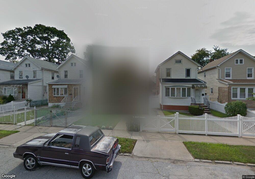
131-67 223 St Laurelton, NY 11413
Laurelton NeighborhoodEstimated Value: $634,069 - $739,000
3
Beds
1
Bath
1,044
Sq Ft
$657/Sq Ft
Est. Value
About This Home
This home is located at 131-67 223 St, Laurelton, NY 11413 and is currently estimated at $685,517, approximately $656 per square foot. 131-67 223 St is a home located in Queens County with nearby schools including P.S. 132 - Ralph Bunche, Is 59 Springfield Gardens, and Success Academy Springfield Gardens.
Ownership History
Date
Name
Owned For
Owner Type
Purchase Details
Closed on
Nov 26, 2014
Sold by
Pough Eula M
Bought by
Freeman Doranna and Morgan Chinasia
Current Estimated Value
Home Financials for this Owner
Home Financials are based on the most recent Mortgage that was taken out on this home.
Original Mortgage
$319,113
Outstanding Balance
$245,337
Interest Rate
4.02%
Mortgage Type
New Conventional
Estimated Equity
$440,180
Purchase Details
Closed on
Mar 11, 2010
Sold by
Pough Eula M
Bought by
Pough Eula M
Create a Home Valuation Report for This Property
The Home Valuation Report is an in-depth analysis detailing your home's value as well as a comparison with similar homes in the area
Home Values in the Area
Average Home Value in this Area
Purchase History
| Date | Buyer | Sale Price | Title Company |
|---|---|---|---|
| Freeman Doranna | $325,000 | -- | |
| Pough Eula M | -- | -- |
Source: Public Records
Mortgage History
| Date | Status | Borrower | Loan Amount |
|---|---|---|---|
| Open | Freeman Doranna | $319,113 |
Source: Public Records
Tax History Compared to Growth
Tax History
| Year | Tax Paid | Tax Assessment Tax Assessment Total Assessment is a certain percentage of the fair market value that is determined by local assessors to be the total taxable value of land and additions on the property. | Land | Improvement |
|---|---|---|---|---|
| 2025 | $4,900 | $27,343 | $7,297 | $20,046 |
| 2024 | $1,702 | $25,795 | $7,862 | $17,933 |
| 2023 | $4,607 | $24,336 | $7,833 | $16,503 |
| 2022 | $4,571 | $31,740 | $10,680 | $21,060 |
| 2021 | $4,658 | $27,840 | $10,680 | $17,160 |
| 2020 | $4,527 | $27,480 | $10,680 | $16,800 |
| 2019 | $4,204 | $26,580 | $10,680 | $15,900 |
| 2018 | $3,836 | $20,280 | $10,680 | $9,600 |
| 2017 | $3,936 | $20,780 | $10,162 | $10,618 |
| 2016 | $3,611 | $20,780 | $10,162 | $10,618 |
| 2015 | $2,145 | $19,606 | $10,635 | $8,971 |
| 2014 | $2,145 | $18,511 | $11,174 | $7,337 |
Source: Public Records
Map
Nearby Homes
- 131-35 222nd St
- 131-20 224th St
- 22310 131st Ave
- 131-18 226th St
- 13062 225th St
- 131-41 226th St Unit 60
- 133-23 225th St
- 130-43 224th St
- 130-55 222nd St
- 133-22 226th St
- 133-15 220th St
- 21931 133rd Ave
- 130-45 220th St
- 21917 132nd Rd
- 13069 227th St
- 21924 130th Dr
- 134-15 221st St
- 134-16 221st St
- 131-33 228th St
- 223-12 134th Rd
- 13161 223rd St
- 13159 223rd St
- 13165 223rd St
- 13155 223rd St
- 13167 223rd St
- 13153 223rd St
- 13171 223rd St
- 13149 223rd St
- 13158 223rd St
- 13158 224th St
- 13154 224th St
- 13160 223rd St
- 13154 223rd St
- 13173 223rd St
- 13162 224th St
- 13164 223rd St
- 115 47 223rd St
- 13147 223rd St
- 13152 223rd St
- 13150 224th St