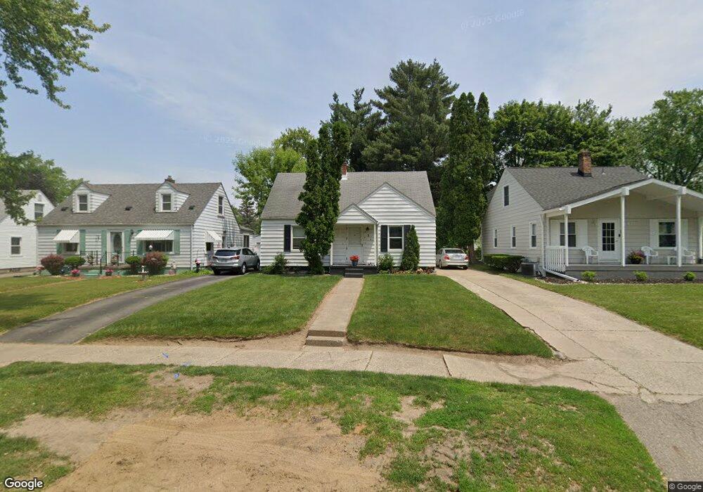
131 Ascot Ave Waterford, MI 48328
Waterford Township NeighborhoodEstimated Value: $183,318 - $210,000
2
Beds
1
Bath
743
Sq Ft
$269/Sq Ft
Est. Value
About This Home
This home is located at 131 Ascot Ave, Waterford, MI 48328 and is currently estimated at $199,830, approximately $268 per square foot. 131 Ascot Ave is a home located in Oakland County with nearby schools including Donelson Hills Elementary School, Mason Middle School, and Waterford Mott High School.
Ownership History
Date
Name
Owned For
Owner Type
Purchase Details
Closed on
Nov 9, 2011
Sold by
Nicholas Linda J
Bought by
131 Ascott Llc
Current Estimated Value
Purchase Details
Closed on
Aug 5, 2011
Sold by
Howard Christopher C and Howard Matilde G
Bought by
Nicholas Linda J
Purchase Details
Closed on
Feb 8, 2011
Sold by
Howard Christopher C
Bought by
Federal National Mortgage Association
Purchase Details
Closed on
Jan 11, 2004
Sold by
Dillard Cynthia and Dillard Dale
Bought by
Howard Christopher C
Home Financials for this Owner
Home Financials are based on the most recent Mortgage that was taken out on this home.
Original Mortgage
$154,400
Interest Rate
5.77%
Mortgage Type
Purchase Money Mortgage
Create a Home Valuation Report for This Property
The Home Valuation Report is an in-depth analysis detailing your home's value as well as a comparison with similar homes in the area
Home Values in the Area
Average Home Value in this Area
Purchase History
| Date | Buyer | Sale Price | Title Company |
|---|---|---|---|
| 131 Ascott Llc | -- | American Title Company Of Li | |
| Nicholas Linda J | $40,000 | None Available | |
| Federal National Mortgage Association | $26,250 | None Available | |
| Howard Christopher C | $154,400 | Tri County Title Agency Inc |
Source: Public Records
Mortgage History
| Date | Status | Borrower | Loan Amount |
|---|---|---|---|
| Previous Owner | Howard Christopher C | $154,400 |
Source: Public Records
Tax History Compared to Growth
Tax History
| Year | Tax Paid | Tax Assessment Tax Assessment Total Assessment is a certain percentage of the fair market value that is determined by local assessors to be the total taxable value of land and additions on the property. | Land | Improvement |
|---|---|---|---|---|
| 2024 | $1,395 | $64,810 | $0 | $0 |
| 2023 | $1,316 | $61,020 | $0 | $0 |
| 2022 | $1,794 | $57,190 | $0 | $0 |
| 2021 | $1,976 | $55,920 | $0 | $0 |
| 2020 | $1,214 | $50,640 | $0 | $0 |
| 2019 | $1,682 | $45,390 | $0 | $0 |
| 2018 | $1,611 | $40,550 | $0 | $0 |
| 2017 | $1,565 | $40,550 | $0 | $0 |
| 2016 | $1,895 | $36,350 | $0 | $0 |
| 2015 | -- | $31,770 | $0 | $0 |
| 2014 | -- | $28,690 | $0 | $0 |
| 2011 | -- | $30,070 | $0 | $0 |
Source: Public Records
Map
Nearby Homes
- 126 S Roslyn Rd
- 87 N Roslyn Rd
- 125 N Winding Dr
- 0 N Winding Dr
- 111 Willow Way
- 445 Lakeside Dr
- 188 N Avery Rd
- 4003 Elmhurst Rd
- 4199 Motorway Dr
- 581 S Winding Dr
- 3860 Lawley Ave
- 256 Madeleine Ln
- 3977 Cresthaven Dr
- 4227 Lanette Dr
- 257 Madeleine Ln
- 540 Lake Village Ave
- The Dover Plan at Hogarth
- The Dawson Plan at Hogarth
- The Concord Plan at Hogarth
- The Everest Plan at Hogarth