Estimated Value: $357,000 - $399,000
3
Beds
3
Baths
1,950
Sq Ft
$192/Sq Ft
Est. Value
About This Home
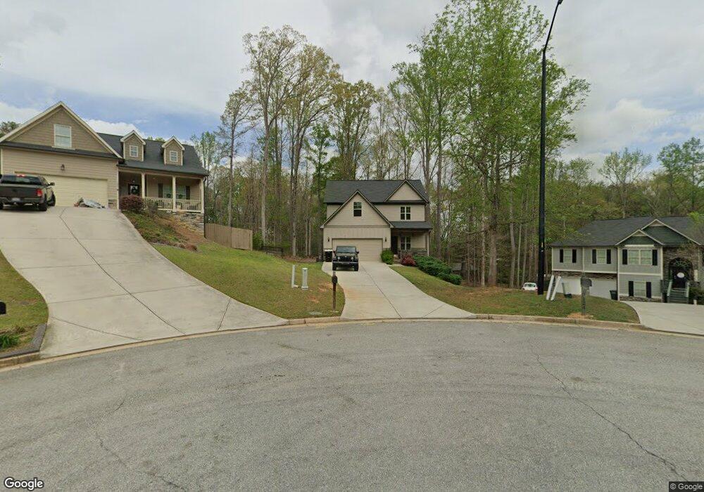
This home is located at 131 Ashley Pointe Dr Unit 7, Hiram, GA 30141 and is currently estimated at $374,369, approximately $191 per square foot. 131 Ashley Pointe Dr Unit 7 is a home located in Paulding County with nearby schools including Sam D. Panter Elementary School, J. A. Dobbins Middle School, and Hiram High School.
Ownership History
Date
Name
Owned For
Owner Type
Purchase Details
Closed on
Jun 7, 2019
Sold by
Outlook Communities Llc
Bought by
Dunn Jessica Nicole
Current Estimated Value
Home Financials for this Owner
Home Financials are based on the most recent Mortgage that was taken out on this home.
Original Mortgage
$203,915
Outstanding Balance
$178,918
Interest Rate
4.1%
Mortgage Type
New Conventional
Estimated Equity
$195,451
Purchase Details
Closed on
Dec 17, 2018
Sold by
Ashley Pointe Hiram Llc
Bought by
Outlook Communities Llc
Home Financials for this Owner
Home Financials are based on the most recent Mortgage that was taken out on this home.
Original Mortgage
$145,551
Interest Rate
4.9%
Mortgage Type
New Conventional
Purchase Details
Closed on
Sep 1, 2016
Sold by
Mt Olivet Land Grp Llc
Bought by
Ashley Pointe Hiram Llc
Create a Home Valuation Report for This Property
The Home Valuation Report is an in-depth analysis detailing your home's value as well as a comparison with similar homes in the area
Home Values in the Area
Average Home Value in this Area
Purchase History
| Date | Buyer | Sale Price | Title Company |
|---|---|---|---|
| Dunn Jessica Nicole | $239,900 | -- | |
| Outlook Communities Llc | $15,000 | -- | |
| Ashley Pointe Hiram Llc | $120,000 | -- |
Source: Public Records
Mortgage History
| Date | Status | Borrower | Loan Amount |
|---|---|---|---|
| Open | Dunn Jessica Nicole | $203,915 | |
| Previous Owner | Outlook Communities Llc | $145,551 |
Source: Public Records
Tax History Compared to Growth
Tax History
| Year | Tax Paid | Tax Assessment Tax Assessment Total Assessment is a certain percentage of the fair market value that is determined by local assessors to be the total taxable value of land and additions on the property. | Land | Improvement |
|---|---|---|---|---|
| 2024 | $3,390 | $136,264 | $16,000 | $120,264 |
| 2023 | $3,745 | $143,664 | $16,000 | $127,664 |
| 2022 | $3,204 | $122,908 | $16,000 | $106,908 |
| 2021 | $2,842 | $97,784 | $16,000 | $81,784 |
| 2020 | $2,706 | $91,104 | $16,000 | $75,104 |
| 2019 | $181 | $6,000 | $6,000 | $0 |
| 2018 | $205 | $6,800 | $6,800 | $0 |
| 2017 | $183 | $6,000 | $6,000 | $0 |
| 2016 | $169 | $5,600 | $5,600 | $0 |
| 2015 | $172 | $5,600 | $5,600 | $0 |
| 2014 | $81 | $2,560 | $2,560 | $0 |
| 2013 | -- | $2,560 | $2,560 | $0 |
Source: Public Records
Map
Nearby Homes
- 115 Ashley Pointe Dr
- 2010 Laird Rd
- 81 Lawanda Ln
- 7131 Ridge Rd
- 288 Valerie Cir
- 18 Thorntree Pass
- 6488 Nebo Rd
- 67 Haley Ct
- 232 Bethel Church Rd
- 64 Cove Dr
- 7012 Nebo Rd
- 74 Bonds Ct
- 6652 Ridge Rd
- 261 Township Dr
- 642 Crestworth Crossing
- 493 Kyles Cir
- 554 Morningside Dr
- 6994 Ridge Rd
- 7606 Nebo Rd
- 8060 Nevo Rd
- 131 Ashley Pointe Dr
- 125 Ashley Pointe Dr
- 124 Ashley Pointe Dr
- 1587 Laird Rd
- 121 Ashley Pointe Dr
- 118 Ashley Pointe Dr
- 110 Ashley Pointe Dr
- 110 Ashley Pointe Dr Unit 10
- 73 Ashley Pointe Dr
- 55 Ashley Pointe Dr Unit 2
- 55 Ashley Pointe Dr
- 55 Ashley Pointe Dr
- 1658 Laird Rd
- 98 Ashley Pointe Dr
- 98 Ashley Pointe Dr Unit 11
- 1702 Laird Rd
- 11 Ashley Pointe Dr
- 1580 Laird Rd
- 90 Ashley Pointe Dr
- 76 Ashley Pointe Dr