131 Azalea Way Hanson, MA 02341
Estimated Value: $739,000 - $920,649
3
Beds
3
Baths
2,560
Sq Ft
$329/Sq Ft
Est. Value
About This Home
This home is located at 131 Azalea Way, Hanson, MA 02341 and is currently estimated at $843,412, approximately $329 per square foot. 131 Azalea Way is a home located in Plymouth County with nearby schools including Cardinal Cushing Centers.
Ownership History
Date
Name
Owned For
Owner Type
Purchase Details
Closed on
Jan 9, 2007
Sold by
Johnco Llc and Johnson
Bought by
Casey Michael D and Casey Rachel A
Current Estimated Value
Create a Home Valuation Report for This Property
The Home Valuation Report is an in-depth analysis detailing your home's value as well as a comparison with similar homes in the area
Home Values in the Area
Average Home Value in this Area
Purchase History
| Date | Buyer | Sale Price | Title Company |
|---|---|---|---|
| Casey Michael D | $495,000 | -- |
Source: Public Records
Mortgage History
| Date | Status | Borrower | Loan Amount |
|---|---|---|---|
| Open | Casey Michael D | $300,000 | |
| Closed | Casey Michael D | $380,000 | |
| Closed | Casey Michael D | $45,000 |
Source: Public Records
Tax History Compared to Growth
Tax History
| Year | Tax Paid | Tax Assessment Tax Assessment Total Assessment is a certain percentage of the fair market value that is determined by local assessors to be the total taxable value of land and additions on the property. | Land | Improvement |
|---|---|---|---|---|
| 2025 | $10,216 | $763,500 | $190,100 | $573,400 |
| 2024 | $10,004 | $747,700 | $184,600 | $563,100 |
| 2023 | $9,068 | $639,500 | $184,600 | $454,900 |
| 2022 | $8,852 | $586,600 | $167,800 | $418,800 |
| 2021 | $6,716 | $530,300 | $161,400 | $368,900 |
| 2020 | $7,890 | $516,700 | $155,900 | $360,800 |
| 2019 | $7,538 | $485,400 | $152,900 | $332,500 |
| 2018 | $7,340 | $463,700 | $147,000 | $316,700 |
| 2017 | $7,116 | $445,300 | $140,000 | $305,300 |
| 2016 | $7,208 | $435,500 | $140,000 | $295,500 |
| 2015 | $6,806 | $427,500 | $140,000 | $287,500 |
Source: Public Records
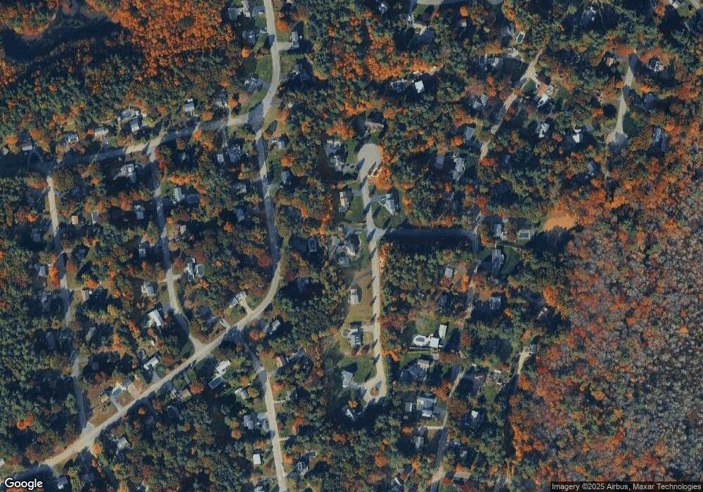
Map
Nearby Homes
- 456 Gorwin Dr
- 37 Brook St
- 134 Crescent St
- 269 Lakeside Rd
- 166 Pine Grove Ave
- 456 Maquan St
- 842 E Washington St
- 15 Elm Place
- 418 E Washington St
- Lot 2 Harvard Rd
- Lot 6 Way
- 248 E Washington St
- 57 Liberty St
- 18 Wampatuck St
- Lot 22 Adams Cir
- 22 Pondview Ave
- 8 Pinehurst Ave
- 23 Pondview Ave
- Lot 5 Princeton Way
- 1251 Broadway