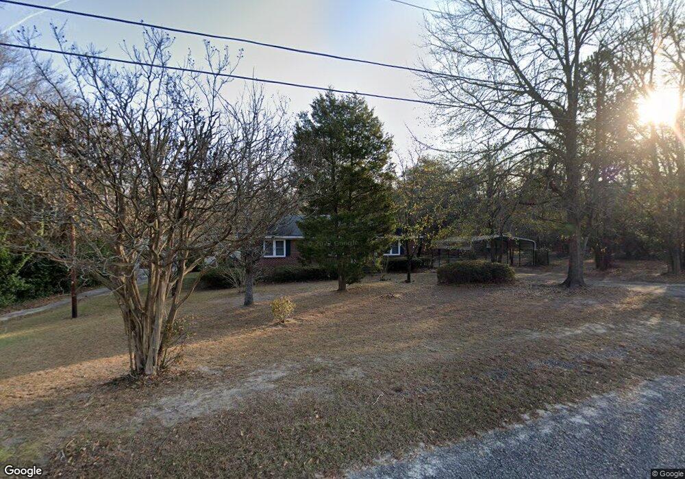
131 Backman St Lexington, SC 29072
Estimated Value: $202,000 - $278,000
2
Beds
2
Baths
1,377
Sq Ft
$179/Sq Ft
Est. Value
About This Home
This home is located at 131 Backman St, Lexington, SC 29072 and is currently estimated at $246,716, approximately $179 per square foot. 131 Backman St is a home located in Lexington County with nearby schools including Lexington Elementary School, River Bluff High School, and American Leadership Academy South Carolina-Lexington Campus.
Ownership History
Date
Name
Owned For
Owner Type
Purchase Details
Closed on
Jan 10, 2017
Sold by
Monts Mackey D and Monts Caroln S
Bought by
Black Jonathan Dillard
Current Estimated Value
Home Financials for this Owner
Home Financials are based on the most recent Mortgage that was taken out on this home.
Original Mortgage
$100,000
Outstanding Balance
$82,503
Interest Rate
4.16%
Mortgage Type
New Conventional
Estimated Equity
$164,213
Purchase Details
Closed on
Nov 10, 2016
Sold by
Monts Mackey D
Bought by
Monts Mackey D and Monts Carolyn S
Create a Home Valuation Report for This Property
The Home Valuation Report is an in-depth analysis detailing your home's value as well as a comparison with similar homes in the area
Home Values in the Area
Average Home Value in this Area
Purchase History
| Date | Buyer | Sale Price | Title Company |
|---|---|---|---|
| Black Jonathan Dillard | $15,000,000 | None Available | |
| Monts Mackey D | -- | None Available |
Source: Public Records
Mortgage History
| Date | Status | Borrower | Loan Amount |
|---|---|---|---|
| Open | Black Jonathan Dillard | $100,000 |
Source: Public Records
Tax History Compared to Growth
Tax History
| Year | Tax Paid | Tax Assessment Tax Assessment Total Assessment is a certain percentage of the fair market value that is determined by local assessors to be the total taxable value of land and additions on the property. | Land | Improvement |
|---|---|---|---|---|
| 2024 | $896 | $6,003 | $1,960 | $4,043 |
| 2023 | $896 | $6,003 | $1,960 | $4,043 |
| 2022 | $893 | $6,003 | $1,960 | $4,043 |
| 2020 | $916 | $6,003 | $1,960 | $4,043 |
| 2019 | $933 | $6,000 | $1,568 | $4,432 |
| 2018 | $915 | $6,000 | $1,568 | $4,432 |
| 2017 | $2,866 | $5,921 | $2,352 | $3,569 |
| 2016 | $154 | $3,722 | $1,344 | $2,378 |
| 2015 | $155 | $3,722 | $1,344 | $2,378 |
| 2014 | $155 | $3,810 | $1,200 | $2,610 |
| 2013 | -- | $3,810 | $1,200 | $2,610 |
Source: Public Records
Map
Nearby Homes
- 123 Tybo Dr
- 334 S Lake Dr
- 111 Taylor Dr
- 137 Tybo Dr
- 318 S Lake Dr
- 310 S Lake Dr Unit 24B
- 308 S Lake Dr Unit 24A
- 302 S Lake Dr
- 284 S Lake Dr Unit 22A
- 278 S Lake Dr Unit 20B
- 127 Brooklet Dr
- 282 S Lake Dr Unit 21B
- 280 S Lake Dr Unit 21A
- 131 Laurel Dr
- 142 Industrial Dr Unit D8
- 142 Industrial Dr Unit D7
- 420 S Church St
- 134 Industrial Dr
- 121 Roberts St
- 220 Cedarcrest Dr