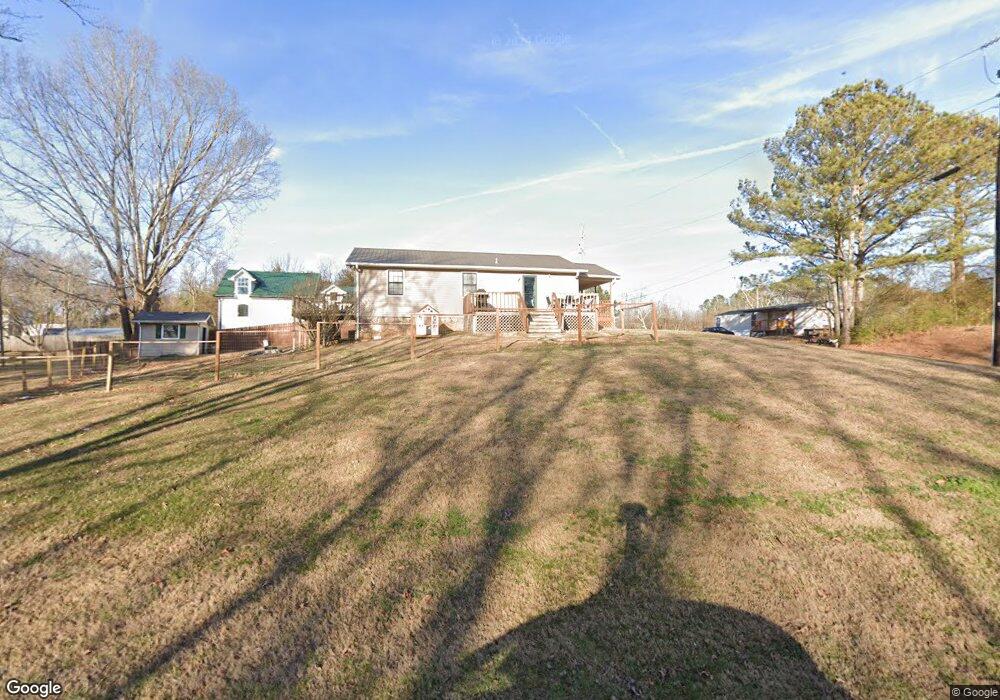
131 Bluedun Way Dalton, GA 30721
Estimated Value: $174,342 - $214,000
--
Bed
1
Bath
1,200
Sq Ft
$158/Sq Ft
Est. Value
About This Home
This home is located at 131 Bluedun Way, Dalton, GA 30721 and is currently estimated at $190,086, approximately $158 per square foot. 131 Bluedun Way is a home located in Whitfield County with nearby schools including Antioch Elementary School, Eastbrook Middle School, and Southeast Whitfield County High School.
Ownership History
Date
Name
Owned For
Owner Type
Purchase Details
Closed on
Nov 9, 2020
Sold by
Hampton Kathy
Bought by
Erazo Oscar D
Current Estimated Value
Home Financials for this Owner
Home Financials are based on the most recent Mortgage that was taken out on this home.
Original Mortgage
$131,313
Outstanding Balance
$116,175
Interest Rate
2.8%
Mortgage Type
New Conventional
Estimated Equity
$73,911
Purchase Details
Closed on
Nov 1, 1995
Bought by
Hampton Kathy
Create a Home Valuation Report for This Property
The Home Valuation Report is an in-depth analysis detailing your home's value as well as a comparison with similar homes in the area
Home Values in the Area
Average Home Value in this Area
Purchase History
| Date | Buyer | Sale Price | Title Company |
|---|---|---|---|
| Erazo Oscar D | $130,000 | -- | |
| Hampton Kathy | $55,000 | -- |
Source: Public Records
Mortgage History
| Date | Status | Borrower | Loan Amount |
|---|---|---|---|
| Open | Erazo Oscar D | $131,313 |
Source: Public Records
Tax History Compared to Growth
Tax History
| Year | Tax Paid | Tax Assessment Tax Assessment Total Assessment is a certain percentage of the fair market value that is determined by local assessors to be the total taxable value of land and additions on the property. | Land | Improvement |
|---|---|---|---|---|
| 2024 | $1,120 | $66,007 | $2,342 | $63,665 |
| 2023 | $1,120 | $37,278 | $1,536 | $35,742 |
| 2022 | $819 | $27,773 | $1,507 | $26,266 |
| 2021 | $567 | $27,773 | $1,507 | $26,266 |
| 2020 | $575 | $27,773 | $1,507 | $26,266 |
| 2019 | $579 | $27,773 | $1,507 | $26,266 |
| 2018 | $575 | $27,539 | $1,273 | $26,266 |
| 2017 | $575 | $27,539 | $1,273 | $26,266 |
| 2016 | $496 | $25,240 | $1,273 | $23,967 |
| 2014 | $482 | $25,289 | $1,322 | $23,967 |
| 2013 | -- | $25,288 | $1,322 | $23,966 |
Source: Public Records
Map
Nearby Homes
- 241 Angus Rd
- 2132 Lawson Dr SE
- 1271 Ridge Rd SE
- 171 Bear Den Ct
- 2091 Hummingbird Dr
- 1712 Wendell St
- 1401 Eastbrook Rd SE
- 1401 Eastbrook Dr SE
- 6 Harrison Ln
- 5 Harrison Ln
- 4 Harrison Ln
- Lot 3 Riverbend Rd
- Lot 2 Riverbend Rd
- 945 Riverbend Rd
- 215 Wagner Dr
- 191 Hanks Bend
- 00 Hill Rd
- 809 Willeve Dr
- 805 Willeve Dr
- 296 Wagner Dr
- 1597 Margaret Cir SE
- 1417 Raider Dr SE
- 1602 Margaret Cir SE
- 130 Quebec Rd
- 1416 Raider Dr SE
- 1421 Raider Dr SE
- 164 Quebec Rd
- 1588 Margaret Cir SE
- 1420 Raider Dr SE
- 3351 Striplin Trail
- 3387 Striplin Trail
- 1425 Raider Dr SE
- 1973 Riverbend Rd
- 1424 Raider Dr SE
- 1579 Margaret Cir SE
- 1582 Margaret Cir SE
- 200 Quebec Way
- 1429 Raider Dr SE
- 1428 Raider Dr SE
- 1433 Raider Dr SE