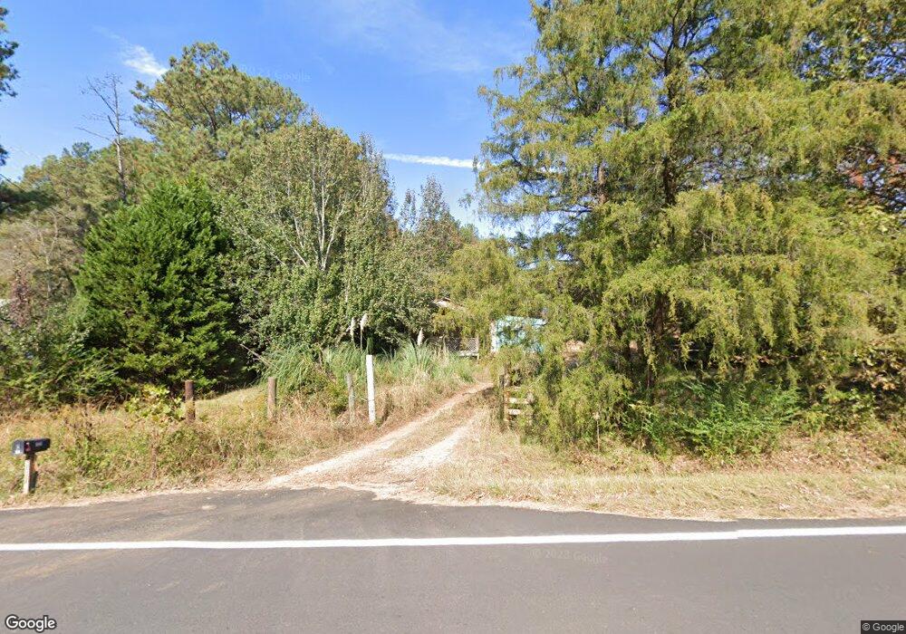
131 Bob Purgason Rd Hogansville, GA 30230
Estimated Value: $119,720 - $188,000
3
Beds
1
Bath
1,134
Sq Ft
$129/Sq Ft
Est. Value
About This Home
This home is located at 131 Bob Purgason Rd, Hogansville, GA 30230 and is currently estimated at $146,240, approximately $128 per square foot. 131 Bob Purgason Rd is a home with nearby schools including Heard County High School.
Ownership History
Date
Name
Owned For
Owner Type
Purchase Details
Closed on
Dec 5, 1996
Sold by
Stribling Phillip E
Bought by
Spradlin Jackie Lee
Current Estimated Value
Purchase Details
Closed on
Nov 18, 1996
Sold by
Charter Federal Savi
Bought by
Stribling Phillip E
Purchase Details
Closed on
Jun 4, 1996
Sold by
Corbitt Donald L
Bought by
Charter Federal Savi
Purchase Details
Closed on
Oct 10, 1990
Sold by
Charter Federal Savi
Bought by
Corbitt Donald L
Purchase Details
Closed on
Mar 12, 1990
Bought by
Charter Federal Savi
Purchase Details
Closed on
Mar 3, 1988
Sold by
Brown Jack P & Co
Bought by
Hogan Walter B
Create a Home Valuation Report for This Property
The Home Valuation Report is an in-depth analysis detailing your home's value as well as a comparison with similar homes in the area
Home Values in the Area
Average Home Value in this Area
Purchase History
| Date | Buyer | Sale Price | Title Company |
|---|---|---|---|
| Spradlin Jackie Lee | $44,900 | -- | |
| Stribling Phillip E | $6,000 | -- | |
| Charter Federal Savi | $13,600 | -- | |
| Corbitt Donald L | $35,000 | -- | |
| Charter Federal Savi | $23,500 | -- | |
| Hogan Walter B | $3,000 | -- |
Source: Public Records
Tax History Compared to Growth
Tax History
| Year | Tax Paid | Tax Assessment Tax Assessment Total Assessment is a certain percentage of the fair market value that is determined by local assessors to be the total taxable value of land and additions on the property. | Land | Improvement |
|---|---|---|---|---|
| 2024 | $586 | $29,048 | $11,594 | $17,454 |
| 2023 | $551 | $27,322 | $9,662 | $17,660 |
| 2022 | $513 | $24,571 | $6,046 | $18,525 |
| 2021 | $447 | $20,350 | $6,046 | $14,304 |
| 2020 | $466 | $21,009 | $6,046 | $14,963 |
| 2019 | $466 | $21,009 | $6,046 | $14,963 |
| 2018 | $370 | $16,328 | $6,046 | $10,282 |
Source: Public Records
Map
Nearby Homes
- 3591 Highway 54 W
- 1221 US Highway 27
- 525 N River Cir
- 504 N River Cir
- 4893 New Franklin Rd
- Tr 4 Unit 15.976 ac Pike Roa
- Tr 5 Unit 19.018 ac Pike Roa
- 17 Chattahoochee Dr
- 475 Hammett Cir
- 1072 Minardi Dr
- 11.62+/- AC New Franklin Rd
- 181 S Chattahoochee Dr
- 5028 Hammett Rd
- TR 4 15.976 AC Pike Rd
- TR 5 19.018 AC Pike Rd
- 3647 Youngs Mill Rd
- 3639 Youngs Mill Rd Unit LOT 86
- 190 Miller Rd
- 250 Mobley Bridge Rd
- 39 Brush Creek Park Rd
- 105 Bob Purgason Rd
- 126 AC Bob Purgason Rd
- 225 Bob Purgason Rd
- 1188 U S Highway 27
- 94 Blueberry Hill Ln
- 321 Bob Purgason Rd
- 124 Blueberry Hill Ln
- 220 Blueberry Hill Ln
- 237 Blueberry Hill Ln
- 212 Bob Purgason Rd
- 0 S U Highway 27 Unit 20177609
- 305 Blueberry Ln
- 1663 Us Highway 27
- 305 Blueberry Hill Ln
- 334 Blueberry Hill Ln
- 369 Blueberry Ln
- 1571 Us Highway 27
- 369 Blueberry Hill Ln
- 281 Bailey Rd
- 891 U S 27