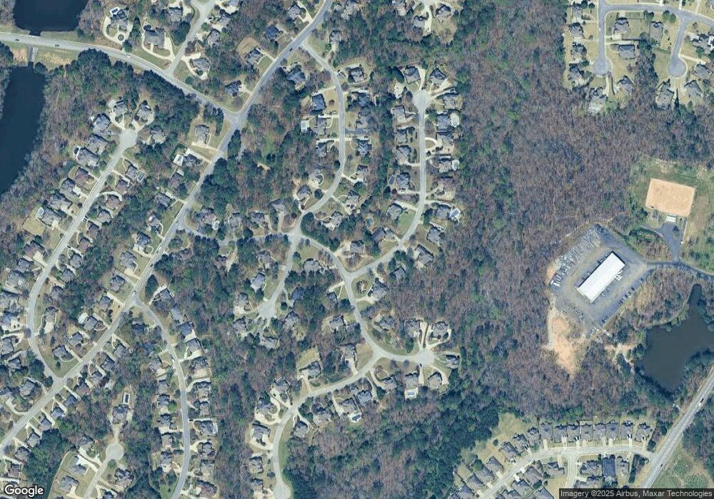
131 Brisstol Ln Birmingham, AL 35242
Estimated Value: $603,652 - $694,000
--
Bed
3
Baths
3,450
Sq Ft
$192/Sq Ft
Est. Value
About This Home
This home is located at 131 Brisstol Ln, Birmingham, AL 35242 and is currently estimated at $663,913, approximately $192 per square foot. 131 Brisstol Ln is a home located in Shelby County with nearby schools including Mt. Laurel Elementary School, Chelsea Middle School, and Chelsea High School.
Ownership History
Date
Name
Owned For
Owner Type
Purchase Details
Closed on
Sep 30, 2011
Sold by
Frith Gary L and Frith Kelley L
Bought by
Frith Gary L
Current Estimated Value
Home Financials for this Owner
Home Financials are based on the most recent Mortgage that was taken out on this home.
Original Mortgage
$302,600
Outstanding Balance
$207,378
Interest Rate
4.2%
Mortgage Type
New Conventional
Estimated Equity
$456,535
Purchase Details
Closed on
Dec 15, 1997
Sold by
Bedwell Construction Co Inc
Bought by
Frith Gary L and Frith Kelley L
Home Financials for this Owner
Home Financials are based on the most recent Mortgage that was taken out on this home.
Original Mortgage
$263,440
Interest Rate
7.25%
Create a Home Valuation Report for This Property
The Home Valuation Report is an in-depth analysis detailing your home's value as well as a comparison with similar homes in the area
Home Values in the Area
Average Home Value in this Area
Purchase History
| Date | Buyer | Sale Price | Title Company |
|---|---|---|---|
| Frith Gary L | -- | None Available | |
| Frith Gary L | $296,000 | -- |
Source: Public Records
Mortgage History
| Date | Status | Borrower | Loan Amount |
|---|---|---|---|
| Open | Frith Gary L | $302,600 | |
| Closed | Frith Gary L | $263,440 |
Source: Public Records
Tax History Compared to Growth
Tax History
| Year | Tax Paid | Tax Assessment Tax Assessment Total Assessment is a certain percentage of the fair market value that is determined by local assessors to be the total taxable value of land and additions on the property. | Land | Improvement |
|---|---|---|---|---|
| 2024 | $2,471 | $56,160 | $0 | $0 |
| 2023 | $2,226 | $51,520 | $0 | $0 |
| 2022 | $1,961 | $45,500 | $0 | $0 |
| 2021 | $1,752 | $40,740 | $0 | $0 |
| 2020 | $1,679 | $39,100 | $0 | $0 |
| 2019 | $1,692 | $39,380 | $0 | $0 |
| 2017 | $1,775 | $41,280 | $0 | $0 |
| 2015 | $1,691 | $39,360 | $0 | $0 |
| 2014 | $1,721 | $40,040 | $0 | $0 |
Source: Public Records
Map
Nearby Homes
- 127 Sutton Cir Unit 2412A
- 141 Ashford Cir Unit 2311
- 1000 Highland Park Dr Unit 2035
- 1038 Highland Park Dr Unit 2026
- 101 Salisbury Ln
- 1108 Dunnavant Place Unit 2529
- 1013 Dunnavant Place
- 139 Salisbury Ln
- 805 Cavalier Ridge
- 1193 Dunnavant Valley Rd Unit 1
- 1067 Fairfield Ln Unit 22-112
- 1056 Fairfield Ln Unit 22-109
- 1136 Dunnavant Place
- 561 Sheffield Way Unit 22-92
- 2504 Regency Cir Unit 2962A
- 2024 Bluestone Cir Unit 1254
- 1018 Ashmore Ln
- 195 Highland Lakes Dr Unit 3
- 1119 Springhill Ln Unit Estate lot 5
- 187 Highland Lakes Dr Unit 2
- 107 Ashford Cir
- 143 Huntingdon Place
- 124 Brisstol Ln
- 137 Huntingdon Place
- 100 Ashford Cir
- 111 Ashford Cir
- 106 Ashford Cir
- 136 Brisstol Ln
- 110 Ashford Cir
- 131 Huntingdon Place
- 161 Huntingdon Place
- 119 Ashford Cir
- 146 Brisstol Ln
- 114 Ashford Cir
- 142 Huntingdon Place
- 119 Brisstol Ln
- 149 Brisstol Ln
- 136 Huntingdon Place
- 156 Huntingdon Place
- 167 Huntingdon Place
