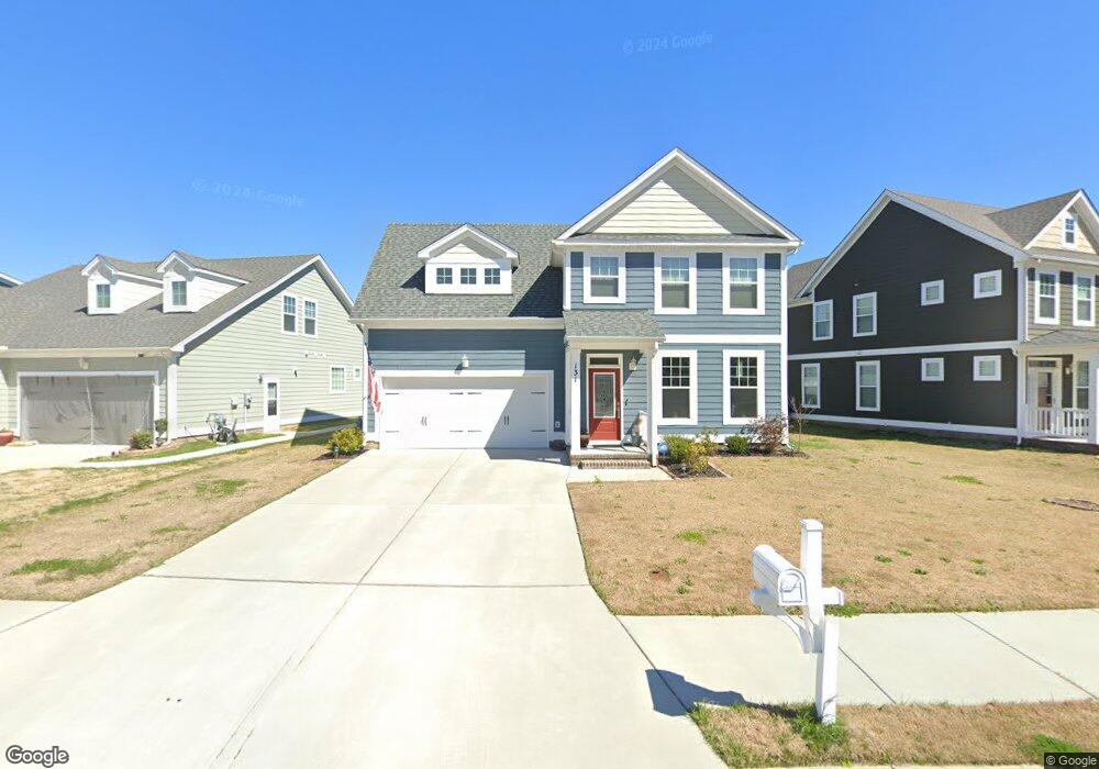
131 Brookside Ln Suffolk, VA 23434
Holy Neck NeighborhoodEstimated Value: $405,000 - $465,000
4
Beds
4
Baths
2,005
Sq Ft
$219/Sq Ft
Est. Value
About This Home
This home is located at 131 Brookside Ln, Suffolk, VA 23434 and is currently estimated at $438,675, approximately $218 per square foot. 131 Brookside Ln is a home located in Suffolk City with nearby schools including Elephant's Fork Elementary School, King's Fork Middle School, and King's Fork High School.
Ownership History
Date
Name
Owned For
Owner Type
Purchase Details
Closed on
Apr 3, 2020
Sold by
Hearndon Pr Builders Llc
Bought by
Eley Brian Dashaun
Current Estimated Value
Home Financials for this Owner
Home Financials are based on the most recent Mortgage that was taken out on this home.
Original Mortgage
$318,618
Outstanding Balance
$281,512
Interest Rate
3.6%
Mortgage Type
VA
Estimated Equity
$157,163
Create a Home Valuation Report for This Property
The Home Valuation Report is an in-depth analysis detailing your home's value as well as a comparison with similar homes in the area
Home Values in the Area
Average Home Value in this Area
Purchase History
| Date | Buyer | Sale Price | Title Company |
|---|---|---|---|
| Eley Brian Dashaun | $311,455 | Attorney |
Source: Public Records
Mortgage History
| Date | Status | Borrower | Loan Amount |
|---|---|---|---|
| Open | Eley Brian Dashaun | $318,618 |
Source: Public Records
Tax History
| Year | Tax Paid | Tax Assessment Tax Assessment Total Assessment is a certain percentage of the fair market value that is determined by local assessors to be the total taxable value of land and additions on the property. | Land | Improvement |
|---|---|---|---|---|
| 2025 | $4,723 | $399,300 | $95,000 | $304,300 |
| 2024 | $4,723 | $364,900 | $85,000 | $279,900 |
| 2023 | $4,297 | $358,900 | $85,000 | $273,900 |
| 2022 | $3,392 | $311,200 | $85,000 | $226,200 |
| 2021 | $3,155 | $284,200 | $78,600 | $205,600 |
| 2020 | $3,030 | $273,000 | $78,600 | $194,400 |
| 2019 | $872 | $78,600 | $78,600 | $0 |
| 2018 | $739 | $71,400 | $71,400 | $0 |
| 2017 | $685 | $64,000 | $64,000 | $0 |
| 2016 | -- | $64,000 | $64,000 | $0 |
Source: Public Records
Map
Nearby Homes
- 129 Brookside Ln
- 221 Terrywood Dr
- 408 Terrywood Dr
- 814 General Pickett Dr
- 304 Terrywood Dr
- 807 Craig Dr
- 6001 Gardenstone Cir
- 1033 Pitchkettle Rd
- 4000 Harvest Reach Ln
- 1.16AC Lake Kilby Rd
- 164 Preserve Way
- 2001 Fieldstone Ln
- 169 Preserve Way
- 2011 Carroll Brinkley Way
- 205 Preserve Way
- 1042 Egret Ln
- 1019 Egret Ln
- 2032 Heron's Point Ln
- 921 Howard Place
- 103 Tupelo Way
- 133 Brookside Ln
- 135 Brookside Ln
- LT99 Brookside Ln
- 132 Brookside Ln
- 203 Terrywood Dr Unit 112
- 203 Terrywood Dr
- 137 Brookside Ln
- 122 Brookside Ln
- 128 Brookside Ln
- 126 Brookside Ln
- 105 Terrywood Dr
- 103 Terrywood Dr
- 205 Terrywood Dr
- 123 Brookside Ln
- 203 Reservoir Ln
- 136 Brookside Ln
- 124 Brookside Ln
- 207 Terrywood Dr
- 138 Brookside Ln
- 121 Brookside Ln
Your Personal Tour Guide
Ask me questions while you tour the home.