131 Bruning Rd New Hartford, CT 06057
Estimated Value: $415,617 - $603,000
3
Beds
2
Baths
1,617
Sq Ft
$316/Sq Ft
Est. Value
About This Home
This home is located at 131 Bruning Rd, New Hartford, CT 06057 and is currently estimated at $511,654, approximately $316 per square foot. 131 Bruning Rd is a home located in Litchfield County with nearby schools including Ann Antolini School, Northwestern Regional Middle School, and Northwestern Regional High School.
Ownership History
Date
Name
Owned For
Owner Type
Purchase Details
Closed on
Mar 18, 2022
Sold by
Holmes Scott A
Bought by
Cazzetta Monica
Current Estimated Value
Purchase Details
Closed on
Oct 15, 1996
Sold by
Hall William B and Hau Mary Hainline
Bought by
Holmes Scott A and Cazzetta Monica
Home Financials for this Owner
Home Financials are based on the most recent Mortgage that was taken out on this home.
Original Mortgage
$120,000
Interest Rate
4.25%
Mortgage Type
Unknown
Create a Home Valuation Report for This Property
The Home Valuation Report is an in-depth analysis detailing your home's value as well as a comparison with similar homes in the area
Home Values in the Area
Average Home Value in this Area
Purchase History
| Date | Buyer | Sale Price | Title Company |
|---|---|---|---|
| Cazzetta Monica | -- | None Available | |
| Holmes Scott A | $160,000 | -- |
Source: Public Records
Mortgage History
| Date | Status | Borrower | Loan Amount |
|---|---|---|---|
| Previous Owner | Holmes Scott A | $168,300 | |
| Previous Owner | Holmes Scott A | $113,000 | |
| Previous Owner | Holmes Scott A | $114,000 | |
| Previous Owner | Holmes Scott A | $120,000 |
Source: Public Records
Tax History
| Year | Tax Paid | Tax Assessment Tax Assessment Total Assessment is a certain percentage of the fair market value that is determined by local assessors to be the total taxable value of land and additions on the property. | Land | Improvement |
|---|---|---|---|---|
| 2025 | $7,118 | $257,250 | $73,920 | $183,330 |
| 2024 | $6,776 | $257,250 | $73,920 | $183,330 |
| 2023 | $6,185 | $192,850 | $73,500 | $119,350 |
| 2022 | $6,086 | $192,850 | $73,500 | $119,350 |
| 2021 | $6,109 | $192,850 | $73,500 | $119,350 |
| 2020 | $6,023 | $192,850 | $73,500 | $119,350 |
| 2019 | $5,949 | $192,850 | $73,500 | $119,350 |
| 2018 | $6,042 | $192,920 | $73,080 | $119,840 |
| 2017 | $5,849 | $192,920 | $73,080 | $119,840 |
| 2016 | $5,811 | $192,920 | $73,080 | $119,840 |
| 2015 | $5,815 | $192,920 | $73,080 | $119,840 |
| 2014 | $5,456 | $192,920 | $73,080 | $119,840 |
Source: Public Records
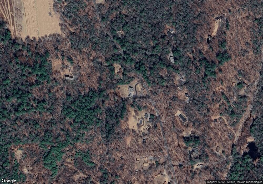
Map
Nearby Homes
- 595 Town Hill Rd
- 52 Wickett St
- 57 Henderson Rd
- 59 Birdsview Ave
- 408 A Niles Rd
- 85 Stedman Rd
- 127 Steele Rd
- 166 E Cotton Hill Rd
- 208 South Rd
- 28 Davis Rd
- 302 Gillette Rd
- 18 Niles Rd
- 37 Hidden Hill Rd
- 7 Church St N
- 163 Trotters Way
- 172 Hillandale Blvd
- 94 Colin Dr
- 3222 Torringford St
- 3226 Torringford St
- 167 W Hill Rd
- 133 Bruning Rd
- 121 Bruning Rd
- 124 Bruning Rd
- 132 Bruning Rd
- 116 Bruning Rd
- 144 Bruning Rd
- 158 Bruning Rd
- 108 Bruning Rd
- 103 Bruning Rd
- 150 Bruning Rd
- 98 Bruning Rd
- 176 Bruning Rd
- 425 Stub Hollow Rd
- 95 Bruning Rd
- 455 Stub Hollow Rd
- 97 Bruning Rd
- 441 Stub Hollow Rd
- 415 Stub Hollow Rd
- 393 Stub Hollow Rd
- 188 Bruning Rd
Your Personal Tour Guide
Ask me questions while you tour the home.