131 Bucks Way Dahlonega, GA 30533
Estimated Value: $170,180 - $308,000
--
Bed
1
Bath
696
Sq Ft
$338/Sq Ft
Est. Value
About This Home
This home is located at 131 Bucks Way, Dahlonega, GA 30533 and is currently estimated at $235,045, approximately $337 per square foot. 131 Bucks Way is a home located in Lumpkin County with nearby schools including Clay County Middle School and Lumpkin County High School.
Ownership History
Date
Name
Owned For
Owner Type
Purchase Details
Closed on
Jan 3, 2012
Sold by
Jones Stephanie L
Bought by
Us Bank National Association T
Current Estimated Value
Purchase Details
Closed on
Mar 10, 2006
Sold by
Not Provided
Bought by
Jones Stephanie L and Jones Kelly R
Home Financials for this Owner
Home Financials are based on the most recent Mortgage that was taken out on this home.
Original Mortgage
$75,000
Interest Rate
6.19%
Mortgage Type
New Conventional
Purchase Details
Closed on
Jan 4, 2002
Sold by
Kenimer Larry
Bought by
Barker Stephanie Leigh
Purchase Details
Closed on
Aug 1, 1986
Bought by
Kenimer Larry
Create a Home Valuation Report for This Property
The Home Valuation Report is an in-depth analysis detailing your home's value as well as a comparison with similar homes in the area
Home Values in the Area
Average Home Value in this Area
Purchase History
| Date | Buyer | Sale Price | Title Company |
|---|---|---|---|
| Us Bank National Association T | $23,401 | -- | |
| Jones Stephanie L | -- | -- | |
| Barker Stephanie Leigh | $62,500 | -- | |
| Kenimer Larry | -- | -- |
Source: Public Records
Mortgage History
| Date | Status | Borrower | Loan Amount |
|---|---|---|---|
| Previous Owner | Jones Stephanie L | $75,000 |
Source: Public Records
Tax History Compared to Growth
Tax History
| Year | Tax Paid | Tax Assessment Tax Assessment Total Assessment is a certain percentage of the fair market value that is determined by local assessors to be the total taxable value of land and additions on the property. | Land | Improvement |
|---|---|---|---|---|
| 2024 | $1,059 | $44,020 | $12,592 | $31,428 |
| 2023 | $964 | $41,001 | $11,769 | $29,232 |
| 2022 | $856 | $34,577 | $9,805 | $24,772 |
| 2021 | $773 | $30,205 | $9,805 | $20,400 |
| 2020 | $770 | $29,202 | $9,398 | $19,804 |
| 2019 | $777 | $29,202 | $9,398 | $19,804 |
| 2018 | $766 | $27,009 | $9,398 | $17,611 |
| 2017 | $777 | $26,875 | $9,398 | $17,477 |
| 2016 | $735 | $24,580 | $9,398 | $15,182 |
| 2015 | $653 | $24,580 | $9,398 | $15,182 |
| 2014 | $653 | $24,780 | $9,398 | $15,382 |
| 2013 | -- | $25,178 | $9,398 | $15,780 |
Source: Public Records
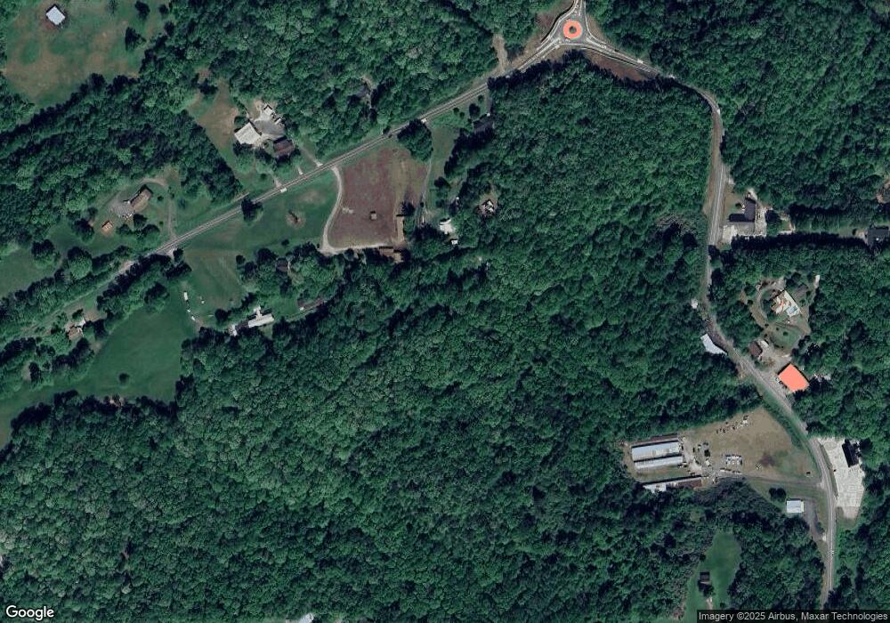
Map
Nearby Homes
- 97 Beaumont Dr
- 94 Mountain View Dr
- 490 N Hall Rd
- 0 Camp Wahsega Rd Unit 7600956
- 0 Camp Wahsega Rd Unit 10547292
- 181 Gilreath Way
- 253 Blair Ridge Rd
- 159 Misty Way
- 120 Blair Ridge Rd
- 121 Blair Ridge Rd
- LOT 6 Sky Country Rd
- 132 J Mountain Dr
- 502 Wimpy Mill Rd
- 77 Old River Rd
- 1202 Oak Grove Rd
- 399 N Chestatee St
- 149 Highland Rd S
- 549 Ivy Terrace
- 22 Honeysuckle Ln
- 129 Oak Grove Rd
- 121 Oak Grove Rd
- 134 Bucks Way
- 327 Oak Grove Rd
- 58 Bucks Way
- 160 Oak Grove Rd
- 222 Oak Grove Rd
- 0 Oak Grove Mhp
- 1217 Grove St N
- 1304 Grove St N
- 318 Oak Grove Rd
- 0 Oak Grove Rd
- 0 Oak Grove Rd Unit 10208257
- 0 Oak Grove Rd Unit 7056502
- 0 Oak Grove Rd Unit 3263119
- 0 Oak Grove Rd Unit 7546396
- 0 Oak Grove Rd Unit 7563488
- 0 Oak Grove Rd Unit 7092048
- 0 Oak Grove Rd Unit 8620679
- 0 Oak Grove Rd Unit 3283156