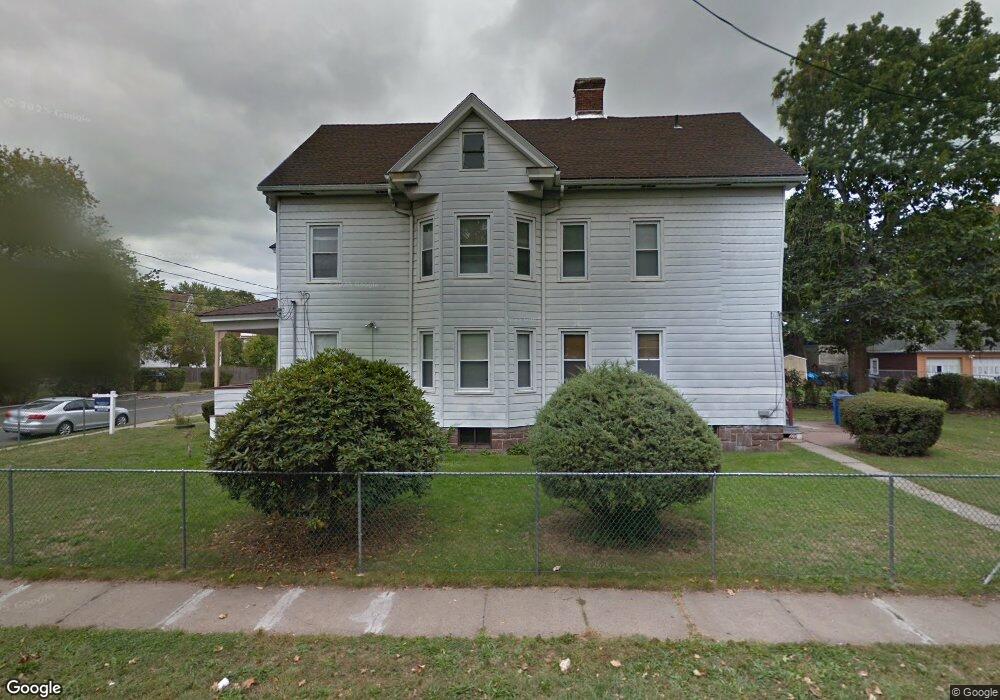
131 Campfield Ave Hartford, CT 06114
South End NeighborhoodEstimated Value: $266,000 - $281,000
3
Beds
2
Baths
1,140
Sq Ft
$241/Sq Ft
Est. Value
About This Home
This home is located at 131 Campfield Ave, Hartford, CT 06114 and is currently estimated at $275,181, approximately $241 per square foot. 131 Campfield Ave is a home located in Hartford County with nearby schools including Asian Studies School At Dwight/Belizzi School, M. D. Fox School, and Dr. James H Naylor/Ccsu Leadership Academy.
Ownership History
Date
Name
Owned For
Owner Type
Purchase Details
Closed on
Nov 3, 1997
Sold by
Marone Severino and Marone Valentina
Bought by
Miranda Carmen
Current Estimated Value
Home Financials for this Owner
Home Financials are based on the most recent Mortgage that was taken out on this home.
Original Mortgage
$81,000
Interest Rate
7.31%
Mortgage Type
Purchase Money Mortgage
Create a Home Valuation Report for This Property
The Home Valuation Report is an in-depth analysis detailing your home's value as well as a comparison with similar homes in the area
Home Values in the Area
Average Home Value in this Area
Purchase History
| Date | Buyer | Sale Price | Title Company |
|---|---|---|---|
| Miranda Carmen | $90,000 | -- |
Source: Public Records
Mortgage History
| Date | Status | Borrower | Loan Amount |
|---|---|---|---|
| Closed | Miranda Carmen | $25,500 | |
| Open | Miranda Carmen | $81,100 | |
| Closed | Miranda Carmen | $81,000 |
Source: Public Records
Tax History Compared to Growth
Tax History
| Year | Tax Paid | Tax Assessment Tax Assessment Total Assessment is a certain percentage of the fair market value that is determined by local assessors to be the total taxable value of land and additions on the property. | Land | Improvement |
|---|---|---|---|---|
| 2024 | $3,983 | $57,771 | $8,857 | $48,914 |
| 2023 | $3,983 | $57,771 | $8,857 | $48,914 |
| 2022 | $3,983 | $57,771 | $8,857 | $48,914 |
| 2021 | $3,232 | $43,505 | $11,760 | $31,745 |
| 2020 | $3,232 | $43,505 | $11,760 | $31,745 |
| 2019 | $3,232 | $43,505 | $11,760 | $31,745 |
| 2018 | $3,123 | $42,038 | $11,363 | $30,675 |
| 2016 | $3,565 | $47,993 | $10,823 | $37,170 |
| 2015 | $3,396 | $45,713 | $10,308 | $35,405 |
| 2014 | $3,313 | $44,596 | $10,057 | $34,539 |
Source: Public Records
Map
Nearby Homes
- 152 Otis St
- 183 Preston St Unit 185
- 35 Clifford St
- 147 Preston St Unit 1
- 244 Brown St
- 159 Gilman St
- 47 Mountford St Unit 49
- 308 Brown St
- 170 Bond St
- 46 Harwich St
- 61 Preston St Unit 63
- 166 George St
- 218 Grandview Terrace Unit 220
- 185 Grandview Terrace Unit 187
- 24 Bliss St
- 63 Standish St Unit 65
- 213 Franklin Ave Unit 405
- 497 Wethersfield Ave
- 26 Barker St Unit 28
- 18 Mclean St Unit 20
- 133 Campfield Ave Unit 135
- 125 Campfield Ave Unit 127
- 193 Otis St Unit 195
- 238 Preston St
- 115 Campfield Ave
- 197 Otis St Unit 199
- 250 Preston St
- 134 Campfield Ave
- 201 Otis St Unit 203
- 136 Campfield Ave Unit 138
- 198 Otis St Unit 200
- 122 Campfield Ave Unit 124
- 200 Otis St
- 254 Preston St Unit 256
- 203 Otis St
- 194 Otis St Unit 196
- 111 Campfield Ave
- 241 Preston St Unit 243
- 116 Campfield Ave Unit 118
- 235 Preston St Unit 239