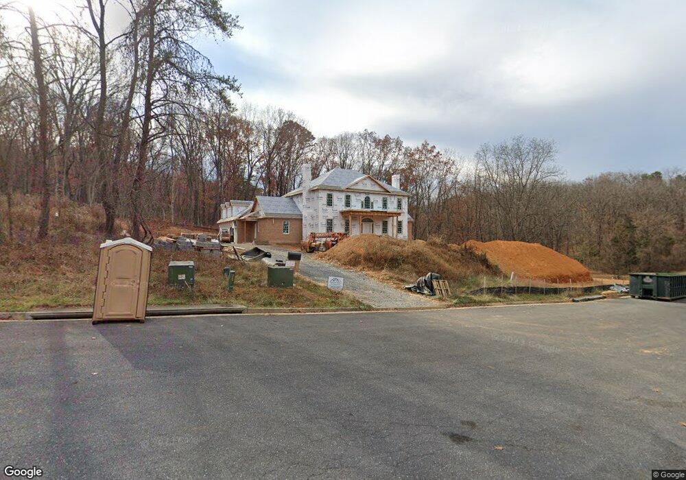
131 Carrs Brook Dr Staunton, VA 24401
Estimated Value: $923,000 - $1,590,000
5
Beds
7
Baths
5,112
Sq Ft
$252/Sq Ft
Est. Value
About This Home
This home is located at 131 Carrs Brook Dr, Staunton, VA 24401 and is currently estimated at $1,287,978, approximately $251 per square foot. 131 Carrs Brook Dr is a home located in Staunton City with nearby schools including Thomas C. McSwain Elementary School, Shelburne Middle School, and Staunton High School.
Ownership History
Date
Name
Owned For
Owner Type
Purchase Details
Closed on
Apr 20, 2022
Sold by
Iris Realty Holdings Llc
Bought by
Vames Christopher P and Vames Carolyn M
Current Estimated Value
Purchase Details
Closed on
Sep 1, 2020
Sold by
Com Properties Llc
Bought by
Iris Realty Holdings Llc
Purchase Details
Closed on
Dec 1, 2017
Sold by
Shenandoah Forest Llc
Bought by
Com Properties Llc
Create a Home Valuation Report for This Property
The Home Valuation Report is an in-depth analysis detailing your home's value as well as a comparison with similar homes in the area
Home Values in the Area
Average Home Value in this Area
Purchase History
| Date | Buyer | Sale Price | Title Company |
|---|---|---|---|
| Vames Christopher P | $80,000 | Fidelity National Title | |
| Iris Realty Holdings Llc | -- | None Available | |
| Iris Realty Holdings Llc | -- | None Available | |
| Com Properties Llc | $280,000 | None Available |
Source: Public Records
Tax History Compared to Growth
Tax History
| Year | Tax Paid | Tax Assessment Tax Assessment Total Assessment is a certain percentage of the fair market value that is determined by local assessors to be the total taxable value of land and additions on the property. | Land | Improvement |
|---|---|---|---|---|
| 2025 | $13,529 | $1,486,700 | $80,000 | $1,406,700 |
| 2024 | $712 | $617,700 | $80,000 | $537,700 |
| 2023 | $712 | $80,000 | $80,000 | $0 |
| 2022 | $524 | $57,000 | $57,000 | $0 |
| 2021 | $524 | $57,000 | $57,000 | $0 |
| 2020 | $542 | $57,000 | $57,000 | $0 |
| 2019 | $542 | $57,000 | $57,000 | $0 |
| 2018 | $553 | $57,000 | $57,000 | $0 |
| 2017 | $553 | $57,000 | $57,000 | $0 |
| 2016 | $542 | $57,000 | $57,000 | $0 |
| 2015 | $542 | $57,000 | $57,000 | $0 |
| 2014 | $542 | $57,000 | $57,000 | $0 |
Source: Public Records
Map
Nearby Homes
- 104 Carrsbrook Dr
- 104 Woodland Dr
- 303 Copeland Dr
- 31 Oak Ln
- 112 Lee St
- 2 Shannon Place
- 5 Trace Dr
- 77 Woodlee Rd
- 90 Woodlee Rd
- 59,61,61A,63,63 Woodlee Rd
- 45 Woodlee Rd
- 426 Peach St
- 501 Mountain View Dr
- 1838 Vinson St
- 434 Peach St
- 328 Elm St
- 1807 Orchard Ln
- 0 Spring Hill Rd
- 1104 N Coalter St
- 4 CROWN RIDGE Berry Farm Rd
- 129 Carrs Brook Dr
- 127 Carrs Brook Dr
- 125 Carrs Brook Dr
- 123 Carrs Brook Dr
- 121 Carrs Brook Dr
- 119 Carrs Brook Dr
- 124 Tivoli Ln
- 117 Carrs Brook Dr
- 115 Carrs Brook Dr
- 320 Carrs Brook Dr
- 147 Tivoli Ln
- 139 Tivoli Ln
- 113 Carrs Brook Dr
- 1881 Spring Hill Rd
- 1881 Springhill Rd
- 111 Carrsbrook Dr
- 123 Carrsbrook Dr
- 602 Fraser Ln
- 322 Rainbow Dr
- 111 Carrs Brook Dr