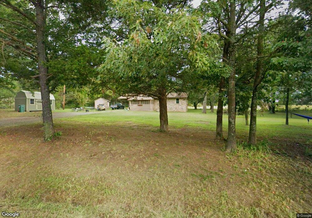
131 Ccc Rd Damascus, AR 72039
Estimated Value: $124,225 - $268,000
3
Beds
1
Bath
1,260
Sq Ft
$148/Sq Ft
Est. Value
About This Home
This home is located at 131 Ccc Rd, Damascus, AR 72039 and is currently estimated at $186,556, approximately $148 per square foot. 131 Ccc Rd is a home located in Van Buren County with nearby schools including South Side Elementary School and South Side High School.
Ownership History
Date
Name
Owned For
Owner Type
Purchase Details
Closed on
Jan 13, 2012
Sold by
Linn Brenda G and Linn Miller Brenda G
Bought by
Linn Brenda G and Brenda G Linn Revocable Trust
Current Estimated Value
Home Financials for this Owner
Home Financials are based on the most recent Mortgage that was taken out on this home.
Original Mortgage
$65,000
Interest Rate
4%
Mortgage Type
Credit Line Revolving
Purchase Details
Closed on
May 24, 2004
Bought by
Brenda
Purchase Details
Closed on
Jul 13, 1998
Bought by
Linn and Edwards
Purchase Details
Closed on
Jul 26, 1996
Bought by
Roberts
Create a Home Valuation Report for This Property
The Home Valuation Report is an in-depth analysis detailing your home's value as well as a comparison with similar homes in the area
Purchase History
| Date | Buyer | Sale Price | Title Company |
|---|---|---|---|
| Linn Brenda G | -- | None Available | |
| Brenda | -- | -- | |
| Linn | -- | -- | |
| Roberts | -- | -- |
Source: Public Records
Mortgage History
| Date | Status | Borrower | Loan Amount |
|---|---|---|---|
| Closed | Linn Brenda G | $65,000 |
Source: Public Records
Tax History
| Year | Tax Paid | Tax Assessment Tax Assessment Total Assessment is a certain percentage of the fair market value that is determined by local assessors to be the total taxable value of land and additions on the property. | Land | Improvement |
|---|---|---|---|---|
| 2025 | $559 | $19,920 | $1,010 | $18,910 |
| 2024 | $83 | $11,600 | $610 | $10,990 |
| 2023 | $158 | $11,600 | $610 | $10,990 |
| 2022 | $208 | $11,600 | $610 | $10,990 |
| 2021 | $208 | $11,600 | $610 | $10,990 |
| 2020 | $208 | $11,600 | $610 | $10,990 |
| 2019 | $142 | $10,170 | $610 | $9,560 |
| 2018 | $534 | $10,540 | $980 | $9,560 |
| 2017 | $480 | $10,540 | $980 | $9,560 |
| 2015 | -- | $11,540 | $950 | $10,590 |
| 2014 | -- | $11,540 | $950 | $10,590 |
| 2013 | -- | $11,540 | $950 | $10,590 |
Source: Public Records
Map
Nearby Homes
- 000 Scratch Gravel Rd
- 000 Scratch Gravel Rd Unit LotWP001
- 17225 Highway 65 S
- 18 Arkansas 124
- 9 Cherokee Rd
- 27 Highway 124 W
- 16503 Damascus Ar 72039 Hwy
- 0 S Broadway and Hwy 65 Dr
- 188 Batesville Mountain Rd
- 375 Batesville Mountain Rd
- 2053 Hwy 124
- 2053 Arkansas 124
- 80 Spires Rd
- 00 Spires Rd
- 000 Spires Rd
- 623 Batesville Mountain Rd
- 10 Leonard Loop
- 327 Pine Timber Ln
- 3 Dejarnett Rd
- 212 Wolf Branch Rd
Your Personal Tour Guide
Ask me questions while you tour the home.