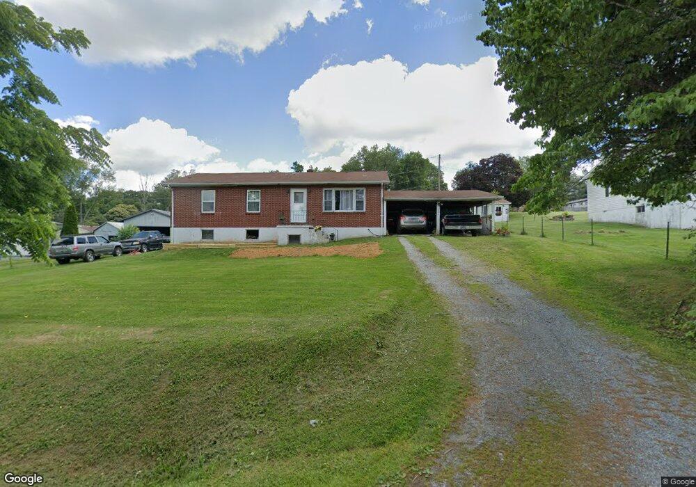
131 Center St Marion, VA 24354
Estimated Value: $63,000 - $126,000
3
Beds
1
Bath
1,210
Sq Ft
$74/Sq Ft
Est. Value
About This Home
This home is located at 131 Center St, Marion, VA 24354 and is currently estimated at $89,485, approximately $73 per square foot. 131 Center St is a home located in Smyth County with nearby schools including Oak Point Elementary School, Marion Middle School, and Marion Senior High School.
Ownership History
Date
Name
Owned For
Owner Type
Purchase Details
Closed on
May 14, 2024
Sold by
Bennett-Norris Jennifer R and Norris Dickey W
Bought by
Bennett-Norris Jennifer R and Norris Dickey W
Current Estimated Value
Purchase Details
Closed on
Jan 20, 2023
Sold by
Gross Darla Long
Bought by
Bennett-Norris Jennifer R
Home Financials for this Owner
Home Financials are based on the most recent Mortgage that was taken out on this home.
Original Mortgage
$33,600
Interest Rate
7.4%
Mortgage Type
Construction
Create a Home Valuation Report for This Property
The Home Valuation Report is an in-depth analysis detailing your home's value as well as a comparison with similar homes in the area
Home Values in the Area
Average Home Value in this Area
Purchase History
| Date | Buyer | Sale Price | Title Company |
|---|---|---|---|
| Bennett-Norris Jennifer R | -- | None Listed On Document | |
| Bennett-Norris Jennifer R | $42,000 | -- |
Source: Public Records
Mortgage History
| Date | Status | Borrower | Loan Amount |
|---|---|---|---|
| Previous Owner | Bennett-Norris Jennifer R | $33,600 |
Source: Public Records
Tax History Compared to Growth
Tax History
| Year | Tax Paid | Tax Assessment Tax Assessment Total Assessment is a certain percentage of the fair market value that is determined by local assessors to be the total taxable value of land and additions on the property. | Land | Improvement |
|---|---|---|---|---|
| 2025 | $372 | $63,000 | $15,000 | $48,000 |
| 2024 | $372 | $63,000 | $15,000 | $48,000 |
| 2023 | $527 | $71,200 | $12,500 | $58,700 |
| 2022 | $527 | $71,200 | $12,500 | $58,700 |
| 2021 | $527 | $71,200 | $12,500 | $58,700 |
| 2020 | $527 | $71,200 | $12,500 | $58,700 |
| 2019 | $484 | $65,400 | $12,500 | $52,900 |
| 2018 | $484 | $65,400 | $12,500 | $52,900 |
| 2017 | $484 | $65,400 | $12,500 | $52,900 |
| 2016 | $484 | $65,400 | $12,500 | $52,900 |
| 2015 | $484 | $0 | $0 | $0 |
| 2014 | $491 | $0 | $0 | $0 |
Source: Public Records
Map
Nearby Homes
- 232 Thomas Rd
- 513 Adwolfe Rd
- 151 Rolling Hills Dr
- 495 Vale Cir
- 409 Vale Cir
- 450 Stoney Battery Rd
- 1900 Lee Hwy
- 1900 Lee Highway Land
- 556 Stoney Battery Rd
- 293 Deans Branch
- 154 North Dr
- 158 North Dr
- tbd Chestnut Ridge Rd
- 206 Spring Hollow Rd
- 1219 Chestnut Ridge Rd
- 950 Lee Hwy
- 121 Sapwood Dr
- 244 Rosenbaum Hollow Ln
- 454 Old Airport Rd
- 1346 W Chilhowie St
- 397 Highland Cir
- 123 Center St
- 383 Highland Cir
- 126 Center St
- 120 Center St
- 155 Highland Cir
- 136 Center St
- 111 Center St
- 112 Center St
- 390 Highland Cir
- 406 Highland Cir
- 398 Highland Cir
- 380 Highland Cir
- 129 Highland Cir
- 414 Highland Cir
- 177 Highland Cir
- 374 Highland Cir
- 239 Beasley Ln
- 365 Highland Cir
- 231 Beasley Ln