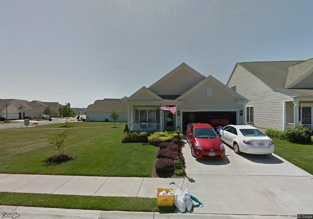
131 Clubside Dr Taneytown, MD 21787
Estimated Value: $323,000 - $430,000
2
Beds
2
Baths
1,452
Sq Ft
$258/Sq Ft
Est. Value
About This Home
This home is located at 131 Clubside Dr, Taneytown, MD 21787 and is currently estimated at $375,176, approximately $258 per square foot. 131 Clubside Dr is a home located in Carroll County with nearby schools including Taneytown Elementary School, Northwest Middle School, and Francis Scott Key High School.
Ownership History
Date
Name
Owned For
Owner Type
Purchase Details
Closed on
Feb 26, 2015
Sold by
Rote Malcolm R and Rote Audrey E
Bought by
Rote Malcolm R
Current Estimated Value
Purchase Details
Closed on
Feb 3, 2006
Sold by
Pulte Home Corporation
Bought by
Rote Malcolm R
Home Financials for this Owner
Home Financials are based on the most recent Mortgage that was taken out on this home.
Original Mortgage
$202,644
Outstanding Balance
$114,620
Interest Rate
6.28%
Mortgage Type
Purchase Money Mortgage
Estimated Equity
$260,556
Create a Home Valuation Report for This Property
The Home Valuation Report is an in-depth analysis detailing your home's value as well as a comparison with similar homes in the area
Home Values in the Area
Average Home Value in this Area
Purchase History
| Date | Buyer | Sale Price | Title Company |
|---|---|---|---|
| Rote Malcolm R | -- | None Available | |
| Rote Malcolm R | $253,305 | -- | |
| Rote Malcolm R | $253,305 | -- |
Source: Public Records
Mortgage History
| Date | Status | Borrower | Loan Amount |
|---|---|---|---|
| Open | Rote Malcolm R | $202,644 | |
| Closed | Rote Malcolm R | $202,644 |
Source: Public Records
Tax History Compared to Growth
Tax History
| Year | Tax Paid | Tax Assessment Tax Assessment Total Assessment is a certain percentage of the fair market value that is determined by local assessors to be the total taxable value of land and additions on the property. | Land | Improvement |
|---|---|---|---|---|
| 2025 | $4,040 | $307,100 | $0 | $0 |
| 2024 | $4,040 | $288,200 | $0 | $0 |
| 2023 | $4,040 | $269,300 | $90,000 | $179,300 |
| 2022 | $3,000 | $265,500 | $0 | $0 |
| 2021 | $0 | $261,700 | $0 | $0 |
| 2020 | $0 | $257,900 | $80,000 | $177,900 |
| 2019 | $3,343 | $240,867 | $0 | $0 |
| 2018 | $0 | $223,833 | $0 | $0 |
| 2017 | $3,102 | $206,800 | $0 | $0 |
| 2016 | -- | $206,800 | $0 | $0 |
| 2015 | -- | $206,800 | $0 | $0 |
| 2014 | -- | $211,400 | $0 | $0 |
Source: Public Records
Map
Nearby Homes
- 102 Butterfly Dr
- 101 Butterfly Dr
- 222 Clubside Dr
- 814 Horseshoe Ln
- 8 Hayride Ln
- 17 Hayride Ln
- 840 Horseshoe Ln
- 405 Clubside Dr
- 152 Saddletop Dr
- 127 Ponytail Ln
- 419 Clubside Dr
- 172 Saddletop Dr
- 0 Carnival Dr
- 180 Saddletop Dr
- 2 Olympic Ct Unit 418
- 71 Fairground Ave
- 209 Grand Dr
- 430 E Baltimore St
- 428 E Baltimore St
- 2 Zephyr Ct
- 129 Clubside Dr
- 127 Clubside Dr Unit 23
- 125 Clubside Dr Unit 24
- 138 Clubside Dr
- 103 Butterfly Dr
- 134 Clubside Dr
- 132 Clubside Dr
- 123 Clubside Dr
- 105 Butterfly Dr
- 100 Butterfly Dr
- 130 Clubside Dr
- 121 Clubside Dr
- 201 Clubside Dr
- 128 Clubside Dr
- 107 Butterfly Dr
- 200 Clubside Dr
- 104 Butterfly Dr
- 203 Clubside Dr
- 119 Clubside Dr
- 126 Clubside Dr