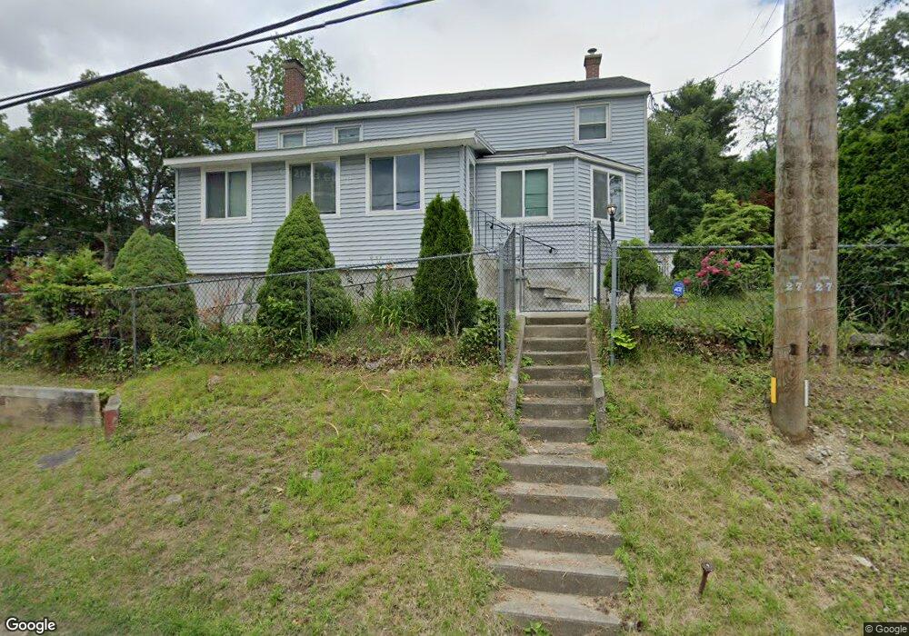
131 Commonwealth Ave Worcester, MA 01604
Grafton Hill NeighborhoodEstimated Value: $439,000 - $488,000
3
Beds
2
Baths
1,872
Sq Ft
$248/Sq Ft
Est. Value
About This Home
This home is located at 131 Commonwealth Ave, Worcester, MA 01604 and is currently estimated at $464,569, approximately $248 per square foot. 131 Commonwealth Ave is a home located in Worcester County with nearby schools including Roosevelt Elementary School, Jacob Hiatt Magnet School, and Chandler Magnet.
Ownership History
Date
Name
Owned For
Owner Type
Purchase Details
Closed on
Jun 30, 1999
Sold by
Household Finance Co 2
Bought by
Brindisi Demetrio and Brindisi Elvira
Current Estimated Value
Home Financials for this Owner
Home Financials are based on the most recent Mortgage that was taken out on this home.
Original Mortgage
$80,000
Outstanding Balance
$21,754
Interest Rate
7.19%
Mortgage Type
Purchase Money Mortgage
Estimated Equity
$442,815
Purchase Details
Closed on
Sep 21, 1998
Sold by
Nelson Louise A
Bought by
Household Fin Corp 2
Create a Home Valuation Report for This Property
The Home Valuation Report is an in-depth analysis detailing your home's value as well as a comparison with similar homes in the area
Home Values in the Area
Average Home Value in this Area
Purchase History
| Date | Buyer | Sale Price | Title Company |
|---|---|---|---|
| Brindisi Demetrio | $109,900 | -- | |
| Household Fin Corp 2 | $96,000 | -- |
Source: Public Records
Mortgage History
| Date | Status | Borrower | Loan Amount |
|---|---|---|---|
| Open | Household Fin Corp 2 | $80,000 | |
| Previous Owner | Household Fin Corp 2 | $121,600 |
Source: Public Records
Tax History
| Year | Tax Paid | Tax Assessment Tax Assessment Total Assessment is a certain percentage of the fair market value that is determined by local assessors to be the total taxable value of land and additions on the property. | Land | Improvement |
|---|---|---|---|---|
| 2025 | $5,801 | $439,800 | $118,800 | $321,000 |
| 2024 | $5,675 | $412,700 | $118,800 | $293,900 |
| 2023 | $5,454 | $380,300 | $103,300 | $277,000 |
| 2022 | $5,033 | $330,900 | $82,700 | $248,200 |
| 2021 | $5,006 | $307,500 | $66,200 | $241,300 |
| 2020 | $4,939 | $290,500 | $66,100 | $224,400 |
| 2019 | $4,754 | $264,100 | $59,600 | $204,500 |
| 2018 | $4,712 | $249,200 | $59,600 | $189,600 |
| 2017 | $4,521 | $235,200 | $59,600 | $175,600 |
| 2016 | $4,518 | $219,200 | $44,000 | $175,200 |
| 2015 | $4,399 | $219,200 | $44,000 | $175,200 |
| 2014 | $4,283 | $219,200 | $44,000 | $175,200 |
Source: Public Records
Map
Nearby Homes
- 143 Commonwealth Ave
- Lot B Crawford St
- 19 Middlesex Ave
- 360 Hamilton St
- 496 Hamilton St
- 143 Dorcester
- 18 Palisades St
- 340 Sunderland Rd Unit 28
- 25 Stoneham Rd
- 83 Massasoit Rd
- 80 Delmont Ave
- 330 Sunderland Rd Unit 80
- 330 Sunderland Rd Unit 69
- 62 Allston Ave
- 469 Lake Ave
- 155 Hamilton St Unit 4
- 259 Massasoit Rd
- 28 Nonquit St
- 256 Massasoit Rd
- 7 Atlas St
- 133A Commonwealth Ave
- 16 Glezen St
- 133 Commonwealth Ave
- 133 Commonwealth Ave Unit B
- 132 Commonwealth Ave
- 125 Commonwealth Ave
- 136 Commonwealth Ave
- 138 Commonwealth Ave
- 138 Commonwealth Ave
- 138 Commonwealth Ave
- 130 Commonwealth Ave
- 11 Glezen St
- 141 Commonwealth Ave
- 88 Commonwealth Ave
- 5 Angelo St
- 18 Glezen St
- 18 Glezen St Unit 2
- 140 Commonwealth Ave
- 119 Commonwealth Ave
- 13 Joseph St
Your Personal Tour Guide
Ask me questions while you tour the home.