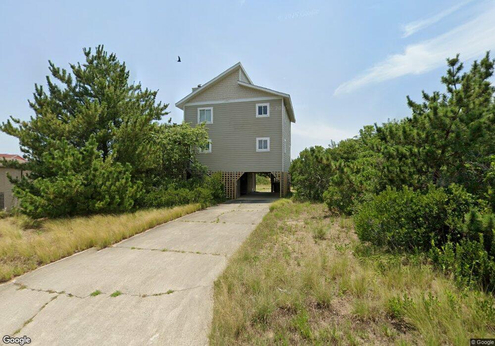
131 Dune Rd Unit 12 Kitty Hawk, NC 27949
Estimated Value: $820,850 - $913,000
4
Beds
3
Baths
1,816
Sq Ft
$479/Sq Ft
Est. Value
About This Home
This home is located at 131 Dune Rd Unit 12, Kitty Hawk, NC 27949 and is currently estimated at $869,463, approximately $478 per square foot. 131 Dune Rd Unit 12 is a home located in Dare County with nearby schools including Kitty Hawk Elementary School, First Flight Middle School, and First Flight High School.
Ownership History
Date
Name
Owned For
Owner Type
Purchase Details
Closed on
Sep 10, 2020
Sold by
Mitchell William R and Mitchell Sandra B
Bought by
Ward James L and Ward Allison L
Current Estimated Value
Home Financials for this Owner
Home Financials are based on the most recent Mortgage that was taken out on this home.
Original Mortgage
$420,000
Outstanding Balance
$371,173
Interest Rate
2.8%
Mortgage Type
New Conventional
Estimated Equity
$498,290
Purchase Details
Closed on
Oct 22, 2010
Sold by
Nisula Richard A and Nisula Jacqueline L
Bought by
Mitchell William R and Mitchell Sandra B
Home Financials for this Owner
Home Financials are based on the most recent Mortgage that was taken out on this home.
Original Mortgage
$269,200
Interest Rate
4.39%
Mortgage Type
New Conventional
Create a Home Valuation Report for This Property
The Home Valuation Report is an in-depth analysis detailing your home's value as well as a comparison with similar homes in the area
Home Values in the Area
Average Home Value in this Area
Purchase History
| Date | Buyer | Sale Price | Title Company |
|---|---|---|---|
| Ward James L | $525,000 | None Available | |
| Mitchell William R | $336,500 | None Available |
Source: Public Records
Mortgage History
| Date | Status | Borrower | Loan Amount |
|---|---|---|---|
| Open | Ward James L | $420,000 | |
| Previous Owner | Mitchell William R | $269,200 |
Source: Public Records
Tax History
| Year | Tax Paid | Tax Assessment Tax Assessment Total Assessment is a certain percentage of the fair market value that is determined by local assessors to be the total taxable value of land and additions on the property. | Land | Improvement |
|---|---|---|---|---|
| 2025 | $3,453 | $779,100 | $396,000 | $383,100 |
| 2024 | $3,253 | $500,100 | $238,500 | $261,600 |
| 2023 | $3,103 | $500,100 | $238,500 | $261,600 |
| 2022 | $3,103 | $500,100 | $238,500 | $261,600 |
| 2021 | $2,681 | $432,000 | $238,500 | $193,500 |
| 2020 | $2,579 | $432,000 | $238,500 | $193,500 |
| 2019 | $2,323 | $334,200 | $200,100 | $134,100 |
| 2018 | $2,323 | $334,200 | $200,100 | $134,100 |
| 2017 | $2,273 | $334,200 | $200,100 | $134,100 |
| 2016 | $2,139 | $334,200 | $200,100 | $134,100 |
| 2014 | $1,995 | $311,700 | $200,100 | $111,600 |
Source: Public Records
Map
Nearby Homes
- 117 Sea Colony Dr Unit B-211
- 117 Sea Colony Dr Unit A-201
- 117 Sea Colony Dr Unit B111
- 117 Sea Colony Dr Unit 211 B
- 1245 Duck Rd Unit 210
- 1245 Duck Rd Unit 205
- 1245 Duck Rd Unit 213
- 125 Foresail Ct Unit Lot 37
- 135 Ships Watch Dr Unit Lot 32
- 133 Ships Watch Dr Unit Lot 33
- 123 Foresail Ct Unit Lot 38
- 137 Ships Watch Dr Unit 31
- 119 Ships Watch Dr Unit Lot 40
- 139 S Spinnaker Ct Unit Lot 30
- 115 Ships Watch Dr Unit Lot 42
- 143 S Spinnaker Ct Unit Lot 28
- 120 Mainsail Ct Unit Lot 10
- 122 Ships Watch Dr Unit Lot 11
Your Personal Tour Guide
Ask me questions while you tour the home.