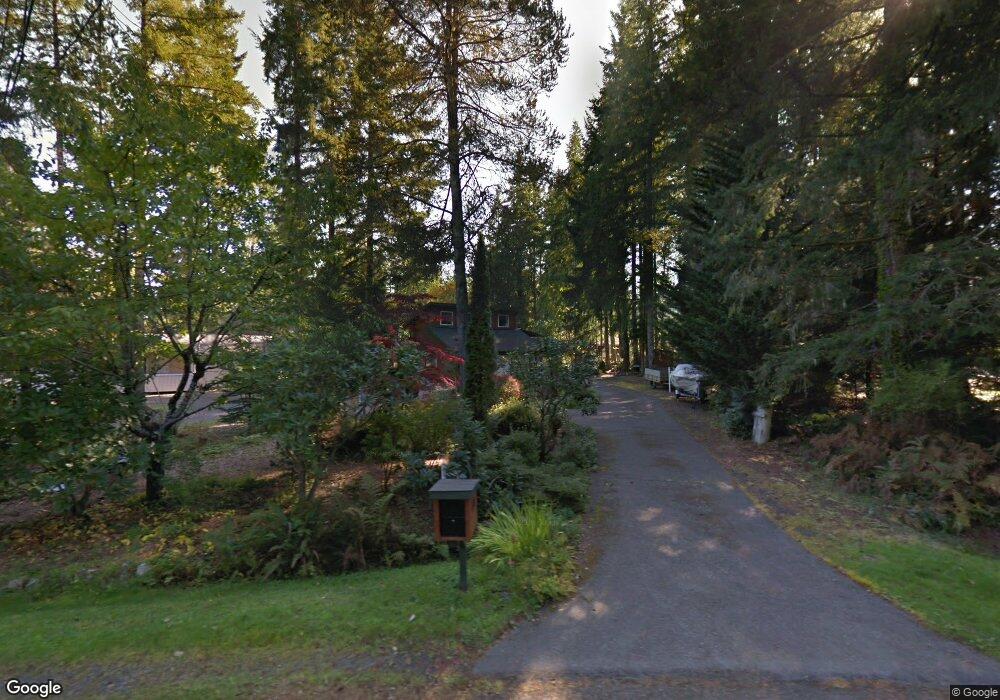
131 E Shamrock Dr Shelton, WA 98584
Estimated Value: $478,959 - $528,000
2
Beds
3
Baths
1,746
Sq Ft
$290/Sq Ft
Est. Value
About This Home
This home is located at 131 E Shamrock Dr, Shelton, WA 98584 and is currently estimated at $506,740, approximately $290 per square foot. 131 E Shamrock Dr is a home located in Mason County with nearby schools including Pioneer Primary School and Pioneer Intermediate/Middle School.
Ownership History
Date
Name
Owned For
Owner Type
Purchase Details
Closed on
Jun 21, 2006
Sold by
Veil Roger W and Neill Veil Barbara Anne O
Bought by
Baker Dennis D and Baker Dolly A
Current Estimated Value
Home Financials for this Owner
Home Financials are based on the most recent Mortgage that was taken out on this home.
Original Mortgage
$213,600
Outstanding Balance
$125,579
Interest Rate
6.57%
Mortgage Type
New Conventional
Estimated Equity
$381,161
Create a Home Valuation Report for This Property
The Home Valuation Report is an in-depth analysis detailing your home's value as well as a comparison with similar homes in the area
Home Values in the Area
Average Home Value in this Area
Purchase History
| Date | Buyer | Sale Price | Title Company |
|---|---|---|---|
| Baker Dennis D | $267,000 | Mason County Title Ins Co |
Source: Public Records
Mortgage History
| Date | Status | Borrower | Loan Amount |
|---|---|---|---|
| Open | Baker Dennis D | $213,600 |
Source: Public Records
Tax History Compared to Growth
Tax History
| Year | Tax Paid | Tax Assessment Tax Assessment Total Assessment is a certain percentage of the fair market value that is determined by local assessors to be the total taxable value of land and additions on the property. | Land | Improvement |
|---|---|---|---|---|
| 2025 | $3,898 | $443,970 | $39,255 | $404,715 |
| 2023 | $3,898 | $539,875 | $35,070 | $504,805 |
| 2022 | $4,050 | $411,420 | $37,710 | $373,710 |
| 2021 | $3,892 | $411,420 | $37,710 | $373,710 |
| 2020 | $3,583 | $363,865 | $31,425 | $332,440 |
| 2018 | $2,436 | $207,360 | $63,600 | $143,760 |
| 2017 | $2,065 | $207,360 | $63,600 | $143,760 |
| 2016 | $2,068 | $180,715 | $55,650 | $125,065 |
| 2015 | $1,781 | $180,715 | $55,650 | $125,065 |
| 2014 | -- | $172,185 | $53,000 | $119,185 |
| 2013 | -- | $157,440 | $53,000 | $104,440 |
Source: Public Records
Map
Nearby Homes
- 161 E Connemara Way
- 1091 E Saint Andrews Dr
- 110 E Shannon Place
- 90 E Blenheim Place
- 81 E Dunoon Place
- 120 E Shannon Place
- 271 E Ballantrae Dr
- 0 E Olde Lyme Rd
- 31 E Tintagel Place
- 1341 E Saint Andrews Dr N
- 51 E Glamis Ct
- 40 E Olde Lyme Rd
- 0 XXX E Balmoral Way
- 30 E Ballycastle Way
- 321 E Ballycastle Way
- 151 E Galway Rd
- 30 E Glenmorgan Ct
- 101 E Paisley Way
- 120 E Road of Tralee
- 330 E Road of Tralee
- 121 E Shamrock Dr
- 141 E Shamrock Dr
- 351 E Shamrock Dr
- 204 E Shamrock Dr
- 290 E Shamrock Dr
- 341 E Shamrock Dr
- 331 E Shamrock Dr
- 161 E Shamrock Dr
- 201 E Shamrock Dr
- 140 E Shamrock Dr
- 150 E Shamrock Dr
- 231 E Shamrock Dr
- 360 E Shamrock Dr
- 211 E Shamrock Dr
- 160 E Shamrock Dr
- 350 E Shamrock Dr
- 340 E Shamrock Dr
- 291 E Shamrock Dr
- 330 E Shamrock Dr
- 601 E Saint Andrews Dr