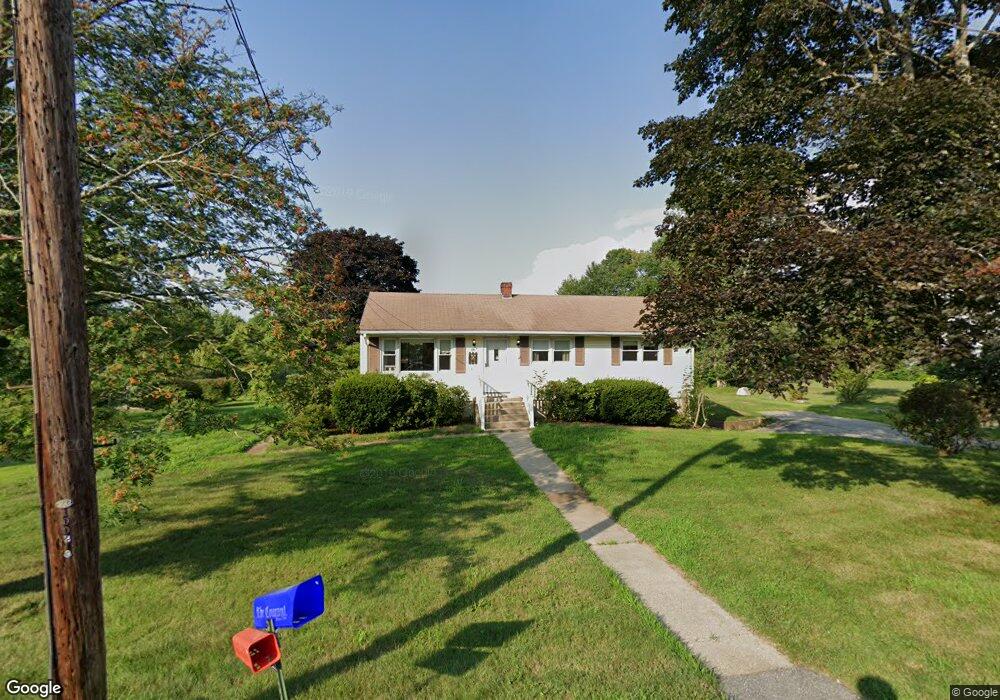
131 Elm St Colchester, CT 06415
Estimated Value: $299,000 - $326,000
3
Beds
2
Baths
1,008
Sq Ft
$309/Sq Ft
Est. Value
About This Home
This home is located at 131 Elm St, Colchester, CT 06415 and is currently estimated at $310,987, approximately $308 per square foot. 131 Elm St is a home located in New London County with nearby schools including Colchester Elementary School, Jack Jackter Intermediate School, and William J. Johnston Middle School.
Ownership History
Date
Name
Owned For
Owner Type
Purchase Details
Closed on
Aug 8, 2019
Sold by
Woltag Robert and Dias Diane
Bought by
Casidy Brett and Cassidy Kaitlin
Current Estimated Value
Home Financials for this Owner
Home Financials are based on the most recent Mortgage that was taken out on this home.
Original Mortgage
$150,350
Outstanding Balance
$131,760
Interest Rate
3.73%
Mortgage Type
Purchase Money Mortgage
Estimated Equity
$179,227
Purchase Details
Closed on
May 11, 2011
Sold by
Larkin Patricia
Bought by
Larkin Joseph M
Home Financials for this Owner
Home Financials are based on the most recent Mortgage that was taken out on this home.
Original Mortgage
$213,804
Interest Rate
4.74%
Mortgage Type
Stand Alone Second
Purchase Details
Closed on
Dec 17, 2001
Sold by
Woltag Harold and Woltag Fay
Bought by
Woltag Michael and Dias Diane
Create a Home Valuation Report for This Property
The Home Valuation Report is an in-depth analysis detailing your home's value as well as a comparison with similar homes in the area
Home Values in the Area
Average Home Value in this Area
Purchase History
| Date | Buyer | Sale Price | Title Company |
|---|---|---|---|
| Casidy Brett | $155,000 | -- | |
| Larkin Joseph M | -- | -- | |
| Woltag Michael | $63,800 | -- |
Source: Public Records
Mortgage History
| Date | Status | Borrower | Loan Amount |
|---|---|---|---|
| Open | Casidy Brett | $150,350 | |
| Closed | Casidy Brett | $4,650 | |
| Previous Owner | Woltag Michael | $213,804 | |
| Previous Owner | Woltag Michael | $255,100 | |
| Previous Owner | Woltag Michael | $10,000 |
Source: Public Records
Tax History Compared to Growth
Tax History
| Year | Tax Paid | Tax Assessment Tax Assessment Total Assessment is a certain percentage of the fair market value that is determined by local assessors to be the total taxable value of land and additions on the property. | Land | Improvement |
|---|---|---|---|---|
| 2025 | $3,920 | $131,000 | $30,500 | $100,500 |
| 2024 | $3,756 | $131,000 | $30,500 | $100,500 |
| 2023 | $3,566 | $131,000 | $30,500 | $100,500 |
| 2022 | $3,547 | $131,000 | $30,500 | $100,500 |
| 2021 | $3,330 | $101,400 | $34,100 | $67,300 |
| 2020 | $3,330 | $101,400 | $34,100 | $67,300 |
| 2019 | $3,330 | $101,400 | $34,100 | $67,300 |
| 2018 | $3,273 | $101,400 | $34,100 | $67,300 |
| 2017 | $3,282 | $101,400 | $34,100 | $67,300 |
| 2016 | $3,462 | $112,000 | $44,700 | $67,300 |
| 2015 | $3,445 | $112,000 | $44,700 | $67,300 |
| 2014 | $3,424 | $112,000 | $44,700 | $67,300 |
Source: Public Records
Map
Nearby Homes
- 201 Deerfield Terrace
- 401 Stage Coach Row
- 39 East Ct Unit 39
- 50 Center Ct Unit 50
- 21 Jordan Ln
- 16 Jordan Ln
- 140 Halls Hill Rd
- 76 Elmwood Heights
- 56 Norwich Ave
- 251 Westerly Terrace
- 39 Jaffee Terrace
- 16 Doctor Foote Rd
- 168 Park Ave
- 283 Windham Ave
- 236 Stollman Rd
- 216 Elliot Dr
- 224 Cabin Rd
- 10 West Rd
- 99 Lake Hayward Rd
- 65 McDonald Rd