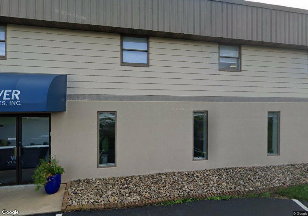
131 Elmwood Rd Lancaster, PA 17602
Fertility NeighborhoodEstimated Value: $1,439,953
--
Bed
--
Bath
14,033
Sq Ft
$103/Sq Ft
Est. Value
About This Home
This home is located at 131 Elmwood Rd, Lancaster, PA 17602 and is currently estimated at $1,439,953, approximately $102 per square foot. 131 Elmwood Rd is a home located in Lancaster County with nearby schools including Smoketown Elementary School, Gerald G. Huesken Middle School, and Conestoga Valley High School.
Ownership History
Date
Name
Owned For
Owner Type
Purchase Details
Closed on
Dec 28, 2022
Sold by
Yarnell Ronald R and Yarnell Tama S
Bought by
Minnick Weaver Properties Llc
Current Estimated Value
Home Financials for this Owner
Home Financials are based on the most recent Mortgage that was taken out on this home.
Original Mortgage
$600,000
Outstanding Balance
$581,477
Interest Rate
6.61%
Mortgage Type
New Conventional
Estimated Equity
$858,476
Purchase Details
Closed on
Feb 24, 2022
Sold by
Lynn Yarnell Lydia
Bought by
Yarnell Teri Lynn and Yarnell Ronald R
Purchase Details
Closed on
Oct 10, 2012
Sold by
Yarnell Lydia B and Yarnell Jr Family Trust
Bought by
Yarnell Lydia B
Purchase Details
Closed on
Jan 3, 2001
Sold by
Yarnell Lydia B and Yarnell Harold N
Bought by
Yarnell Harold N and Yarnell Lydia B
Create a Home Valuation Report for This Property
The Home Valuation Report is an in-depth analysis detailing your home's value as well as a comparison with similar homes in the area
Home Values in the Area
Average Home Value in this Area
Purchase History
| Date | Buyer | Sale Price | Title Company |
|---|---|---|---|
| Minnick Weaver Properties Llc | $1,200,000 | -- | |
| Yarnell Teri Lynn | $598,016 | Clark James R | |
| Yarnell Lydia B | -- | None Available | |
| Yarnell Harold N | -- | -- |
Source: Public Records
Mortgage History
| Date | Status | Borrower | Loan Amount |
|---|---|---|---|
| Open | Minnick Weaver Properties Llc | $600,000 | |
| Closed | Minnick Weaver Properties Llc | $480,000 |
Source: Public Records
Tax History Compared to Growth
Tax History
| Year | Tax Paid | Tax Assessment Tax Assessment Total Assessment is a certain percentage of the fair market value that is determined by local assessors to be the total taxable value of land and additions on the property. | Land | Improvement |
|---|---|---|---|---|
| 2025 | $9,459 | $467,200 | $104,000 | $363,200 |
| 2024 | $9,459 | $467,200 | $104,000 | $363,200 |
| 2023 | $9,010 | $467,200 | $104,000 | $363,200 |
| 2022 | $9,010 | $467,200 | $104,000 | $363,200 |
| 2021 | $8,692 | $467,200 | $104,000 | $363,200 |
| 2020 | $8,692 | $467,200 | $104,000 | $363,200 |
| 2019 | $8,505 | $467,200 | $104,000 | $363,200 |
| 2018 | $9,803 | $467,200 | $104,000 | $363,200 |
| 2017 | $8,367 | $386,500 | $123,600 | $262,900 |
| 2016 | $8,267 | $386,500 | $123,600 | $262,900 |
| 2015 | $2,112 | $386,500 | $123,600 | $262,900 |
| 2014 | -- | $386,500 | $123,600 | $262,900 |
Source: Public Records
Map
Nearby Homes
- 2315 Old Philadelphia Pike
- 103 Fairhill Dr
- 2506 Old Philadelphia Pike
- 71 Black Oak Dr Unit 71
- 455 Garland Cir
- 2439 Ellendale Dr
- 2453 Lincoln Hwy E
- 2596 Old Philadelphia Pike
- 25 Homestead Dr
- 2328 Rockvale Rd
- 323 Enterprise Dr
- 92 Glendale Dr
- 502 Country Meadows Dr
- 822 Gail Place
- 464 Eastwood Ln
- 466 Eastwood Ln
- 403 Eastwood Ln
- 248 Wolgemuth Dr
- 410 Eastwood Ln
- 117 Summers Dr