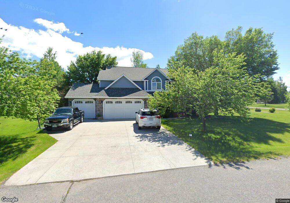
131 Fireside Dr Bozeman, MT 59718
Estimated Value: $941,000 - $1,039,000
About This Home
This home is located at 131 Fireside Dr, Bozeman, MT 59718 and is currently estimated at $978,606, approximately $333 per square foot. 131 Fireside Dr is a home located in Gallatin County with nearby schools including Whittier School, Chief Joseph Middle School, and Gallatin High School.
Ownership History
We collect this data history from publicly available records. To have your information removed, we recommend requesting removal directly through your county’s website.
Purchase Details
Purchase Details
Purchase Details
Home Financials for this Owner
Home Financials are based on the most recent Mortgage that was taken out on this home.Purchase Details
Purchase History
We collect this data history from publicly available records. To have your information removed, we recommend requesting removal directly through your county’s website.
| Date | Buyer | Sale Price | Title Company |
|---|---|---|---|
| -- | None Available | ||
| -- | None Available | ||
| -- | Stewart Title Of Bozeman | ||
| -- | Stewart Title Of Bozeman |
Mortgage History
We collect this data history from publicly available records. To have your information removed, we recommend requesting removal directly through your county’s website.
| Date | Status | Borrower | Loan Amount |
|---|---|---|---|
| Open | $360,000 |
Tax History
We collect this data history from publicly available records. To have your information removed, we recommend requesting removal directly through your county’s website.
| Year | Tax Paid | Tax Assessment Tax Assessment Total Assessment is a certain percentage of the fair market value that is determined by local assessors to be the total taxable value of land and additions on the property. | Land | Improvement |
|---|---|---|---|---|
| 2025 | $4,354 | $1,085,200 | $0 | $0 |
| 2024 | $5,714 | $1,045,600 | $0 | $0 |
| 2023 | $6,186 | $1,045,600 | $0 | $0 |
| 2022 | $3,933 | $590,000 | $0 | $0 |
| 2021 | $4,536 | $590,000 | $0 | $0 |
| 2020 | $4,612 | $543,500 | $0 | $0 |
| 2019 | $4,002 | $543,500 | $0 | $0 |
| 2018 | $4,018 | $495,100 | $0 | $0 |
| 2017 | $3,675 | $495,100 | $0 | $0 |
| 2016 | $3,276 | $415,400 | $0 | $0 |
| 2015 | $3,267 | $415,400 | $0 | $0 |
| 2014 | $3,116 | $232,776 | $0 | $0 |
Map
- 83 Poplar Dr
- 2030 and 2032 Love Ln
- 172 Alton Way
- 1875 Love Ln
- 361 Valley Grove Dr
- 23 Kirsha Ln
- 153 Pathfinder Trail
- 135 Bison Trail
- Lot 2A Bison Trail
- 12 Pathfinder Trail
- 950 E Liberty Dr
- 456 Bison Trail
- TBD E Cameron Bridge Rd
- Lot 10 Riparian Way
- 165 Tippet Trail
- 52 Dry Fly Ln
- TBD Harper Puckett
- 219 Coulee Dr
- 326 Coulee Dr
- 236 Cirque Dr
- 103 Fireside Dr
- 134 Fireside Dr
- 279 Poplar Dr
- 305 Poplar Dr
- 169 Fireside Dr
- 152 Fireside Dr
- 96 Fireside Dr
- 138 Fireside Dr
- 178 Wylie Creek Blvd
- 243 Poplar Dr
- 178 Fireside Dr
- 310 Poplar Dr
- 62 Fireside Dr
- 213 Poplar Dr
- 156 Wylie Creek Blvd
- 193 Fireside Dr
- 292 Poplar Dr
- 200 Fireside Dr
- 268 Poplar Dr
- 167 Wylie Creek Blvd
Ask me questions while you tour the home.