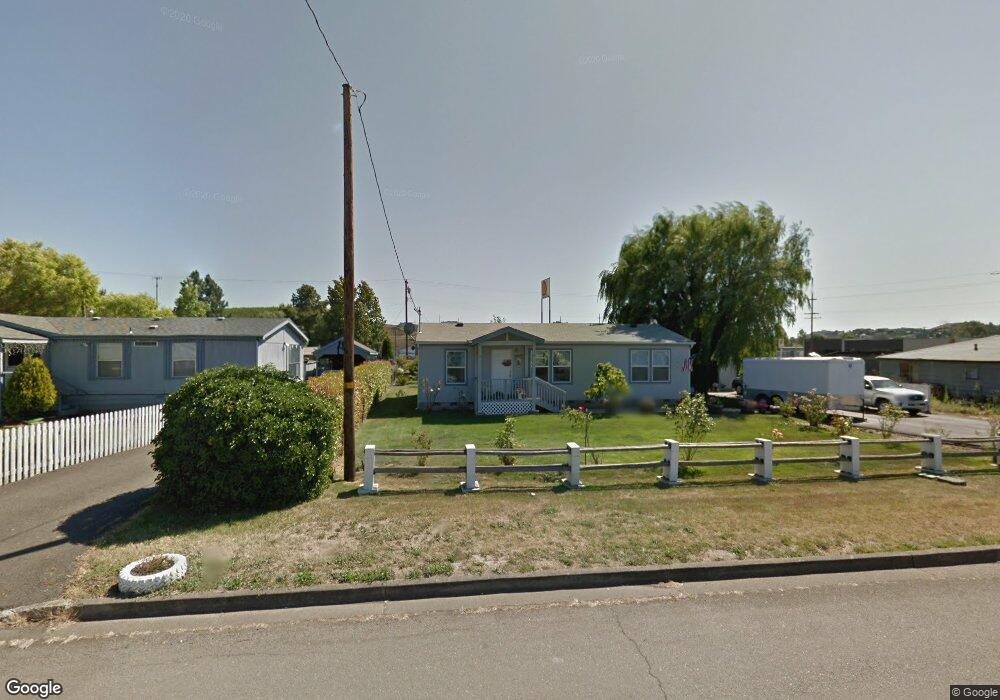
131 Green Siding Rd Roseburg, OR 97471
Green NeighborhoodEstimated Value: $175,000 - $201,799
2
Beds
1
Bath
816
Sq Ft
$227/Sq Ft
Est. Value
About This Home
This home is located at 131 Green Siding Rd, Roseburg, OR 97471 and is currently estimated at $185,450, approximately $227 per square foot. 131 Green Siding Rd is a home located in Douglas County with nearby schools including Sunnyslope Elementary School, John C. Fremont Middle School, and Roseburg High School.
Ownership History
Date
Name
Owned For
Owner Type
Purchase Details
Closed on
Mar 26, 2025
Sold by
Paulson Andrew Deane
Bought by
Curtis Shawn A and Curtis Trayce L
Current Estimated Value
Purchase Details
Closed on
Apr 23, 2019
Sold by
Paulson Joanne E and Paulson Joanne Earlene
Bought by
Paulson Andrew Deane
Home Financials for this Owner
Home Financials are based on the most recent Mortgage that was taken out on this home.
Original Mortgage
$25,000
Interest Rate
4.2%
Mortgage Type
Purchase Money Mortgage
Create a Home Valuation Report for This Property
The Home Valuation Report is an in-depth analysis detailing your home's value as well as a comparison with similar homes in the area
Home Values in the Area
Average Home Value in this Area
Purchase History
| Date | Buyer | Sale Price | Title Company |
|---|---|---|---|
| Curtis Shawn A | $65,000 | First American Title | |
| Paulson Andrew Deane | $35,000 | Amerititle |
Source: Public Records
Mortgage History
| Date | Status | Borrower | Loan Amount |
|---|---|---|---|
| Previous Owner | Paulson Andrew Deane | $25,000 |
Source: Public Records
Tax History Compared to Growth
Tax History
| Year | Tax Paid | Tax Assessment Tax Assessment Total Assessment is a certain percentage of the fair market value that is determined by local assessors to be the total taxable value of land and additions on the property. | Land | Improvement |
|---|---|---|---|---|
| 2024 | $605 | $64,665 | $64,665 | -- |
| 2023 | $587 | $62,782 | $62,782 | $0 |
| 2022 | $570 | $60,954 | $0 | $0 |
| 2021 | $554 | $59,179 | $0 | $0 |
| 2020 | $559 | $57,456 | $0 | $0 |
| 2019 | $549 | $55,783 | $0 | $0 |
| 2018 | $282 | $28,489 | $0 | $0 |
| 2017 | $274 | $27,662 | $0 | $0 |
| 2016 | $269 | $26,861 | $0 | $0 |
| 2015 | $264 | $26,075 | $0 | $0 |
| 2014 | $256 | $25,312 | $0 | $0 |
| 2013 | -- | $24,571 | $0 | $0 |
Source: Public Records
Map
Nearby Homes
- 211 SW Berry Loop Ln
- 261 Grant Smith Rd
- 0 Old Highway 99 S
- 33 Manor Loop
- 59 Manor Loop
- 751 E Happy Valley Rd
- 5 Manor Loop
- 1883 Green Ave
- 1895 Green Ave
- 1911 Green Ave
- 1927 Green Ave
- 1891 Linnell Ave
- 1951 Austin Rd
- 4285 Coronado Dr
- 1973 Castle Ave
- 2065 Bel Air Ct
- 200 Emils Way Unit 21
- 200 Emils Way Unit 20
- 144 Peppertree Ct
- 4807 SW Grange Rd
- 149 Green Siding Rd
- 148 Ervin Ave
- 181 Green Siding Rd
- 0 Ervin Ave
- 0 Green Siding Rd
- 175 Ervin Ave
- 196 Ervin Ave
- 196 Ervin Ave
- 4424 Old Highway 99 S
- 161 Green Siding Rd
- 4286 Old Highway 99 S
- 149 Berry Ln
- 148 Berry Loop Ln
- 149 Berry Loop Ln
- 206 Ervin Ave
- 103 Berry Ln
- 4272 Old Highway 99 S
- 260 SW Ervin Ave Unit 1
- 220 Ervin Ave
- 401 Lad Ln