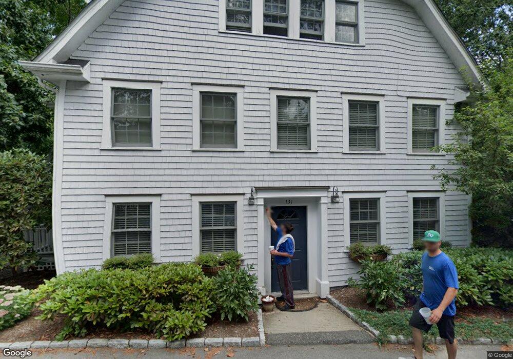
131 Grove Beach Rd S Westbrook, CT 06498
Estimated Value: $942,928 - $1,123,000
3
Beds
5
Baths
3,730
Sq Ft
$284/Sq Ft
Est. Value
About This Home
This home is located at 131 Grove Beach Rd S, Westbrook, CT 06498 and is currently estimated at $1,060,482, approximately $284 per square foot. 131 Grove Beach Rd S is a home located in Middlesex County with nearby schools including Daisy Ingraham School, Westbrook Middle School, and Westbrook High School.
Ownership History
Date
Name
Owned For
Owner Type
Purchase Details
Closed on
Sep 28, 2001
Sold by
Higgins Robert L and Higgins Suzanne G
Bought by
Migdole Scott and Migdole Christine
Current Estimated Value
Purchase Details
Closed on
May 11, 1999
Sold by
Bevins Brian J and Bevins Lorraine C
Bought by
Higgins Robert L and Higgins Suzanne G
Create a Home Valuation Report for This Property
The Home Valuation Report is an in-depth analysis detailing your home's value as well as a comparison with similar homes in the area
Home Values in the Area
Average Home Value in this Area
Purchase History
| Date | Buyer | Sale Price | Title Company |
|---|---|---|---|
| Migdole Scott | $403,500 | -- | |
| Higgins Robert L | $150,000 | -- |
Source: Public Records
Mortgage History
| Date | Status | Borrower | Loan Amount |
|---|---|---|---|
| Open | Higgins Robert L | $335,224 | |
| Closed | Higgins Robert L | $50,000 | |
| Closed | Higgins Robert L | $358,000 |
Source: Public Records
Tax History Compared to Growth
Tax History
| Year | Tax Paid | Tax Assessment Tax Assessment Total Assessment is a certain percentage of the fair market value that is determined by local assessors to be the total taxable value of land and additions on the property. | Land | Improvement |
|---|---|---|---|---|
| 2025 | $9,189 | $408,380 | $201,600 | $206,780 |
| 2024 | $8,862 | $408,380 | $201,600 | $206,780 |
| 2023 | $8,707 | $408,380 | $201,600 | $206,780 |
| 2022 | $8,478 | $408,380 | $201,600 | $206,780 |
| 2021 | $8,087 | $323,460 | $140,000 | $183,460 |
| 2020 | $8,087 | $323,460 | $140,000 | $183,460 |
| 2019 | $7,980 | $323,460 | $140,000 | $183,460 |
| 2018 | $7,883 | $323,460 | $140,000 | $183,460 |
| 2017 | $7,883 | $323,460 | $140,000 | $183,460 |
| 2016 | $8,646 | $373,630 | $168,000 | $205,630 |
| 2015 | $8,410 | $373,630 | $168,000 | $205,630 |
| 2014 | $8,141 | $373,630 | $168,000 | $205,630 |
Source: Public Records
Map
Nearby Homes
- 51 Sunrise Rd
- 50 & 61 Grove Way
- 51 Linden Ave N
- 56 Linden Ave N
- 201 Old Mail Trail
- 0 Causeway
- 176 Shore Rd
- 153 Shore Rd Unit 2
- 280 E Main St Unit A2
- 144 Shore Rd
- 35 Meadow Rd
- 407 Grove Beach Rd N
- 0 Boston Post Rd Unit 24080344
- 448 A - B Grove Beach Rd N
- 18 Tidewater Ln Unit 18
- 59 Old Post Rd Unit AR1
- 59 Founders Village
- 0 E Main St
- 31 Founders Village
- 6 Kingfisher Ln
- 67 Linden Ave S
- 139 Grove Beach Rd S
- 121 Grove Beach Rd S
- 59 Linden Ave S
- 130 Grove Beach Rd S
- 126 Grove Beach Rd S
- 0 Shore Ln
- 120 Grove Beach Rd S
- 109 Grove Beach Rd S
- 58 Broadway S
- 52 Linden Ave S
- 18 Park Row
- 52 Broadway S
- 48 Linden Ave S
- 27 Shore Ln
- 108 Grove Beach Rd S
- 163 Grove Beach Rd S
- 43 Linden Ave S
- 44 Linden Ave S
- 63 Broadway S