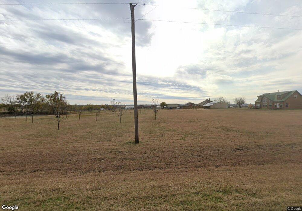
131 Hawk Ridge Rd Decatur, TX 76234
Estimated Value: $471,764 - $706,000
--
Bed
1
Bath
2,364
Sq Ft
$245/Sq Ft
Est. Value
About This Home
This home is located at 131 Hawk Ridge Rd, Decatur, TX 76234 and is currently estimated at $580,191, approximately $245 per square foot. 131 Hawk Ridge Rd is a home located in Wise County with nearby schools including Decatur High School.
Ownership History
Date
Name
Owned For
Owner Type
Purchase Details
Closed on
Oct 19, 2012
Sold by
Eicksteadt Richard A
Bought by
Eicksteadt Richard A
Current Estimated Value
Purchase Details
Closed on
Sep 2, 2004
Sold by
Zimmerer Annuity Trust
Bought by
Eicksteadt Richard A Revocable Living Trust
Purchase Details
Closed on
Dec 8, 2003
Sold by
Hawk Ridge Limited Partnership
Bought by
Eicksteadt Richard A Revocable Living Trust
Create a Home Valuation Report for This Property
The Home Valuation Report is an in-depth analysis detailing your home's value as well as a comparison with similar homes in the area
Home Values in the Area
Average Home Value in this Area
Purchase History
| Date | Buyer | Sale Price | Title Company |
|---|---|---|---|
| Eicksteadt Richard A | -- | None Available | |
| Eicksteadt Richard A Revocable Living Trust | -- | -- | |
| Eicksteadt Richard A Revocable Living Trust | -- | -- |
Source: Public Records
Tax History Compared to Growth
Tax History
| Year | Tax Paid | Tax Assessment Tax Assessment Total Assessment is a certain percentage of the fair market value that is determined by local assessors to be the total taxable value of land and additions on the property. | Land | Improvement |
|---|---|---|---|---|
| 2025 | $780 | $545,344 | $202,486 | $342,858 |
| 2024 | $780 | $495,813 | $0 | $0 |
| 2023 | $5,445 | $450,739 | $0 | $0 |
| 2022 | $6,288 | $409,763 | $0 | $0 |
| 2021 | $5,972 | $380,740 | $124,990 | $255,750 |
| 2020 | $5,464 | $338,650 | $110,000 | $228,650 |
| 2019 | $5,506 | $322,690 | $99,990 | $222,700 |
| 2018 | $5,171 | $308,100 | $87,500 | $220,600 |
| 2017 | $4,701 | $266,880 | $60,000 | $206,880 |
| 2016 | $4,249 | $257,150 | $52,500 | $204,650 |
| 2015 | -- | $228,210 | $47,500 | $180,710 |
| 2014 | -- | $219,090 | $47,500 | $171,590 |
Source: Public Records
Map
Nearby Homes
- 1495 County Road 4530
- 1421 County Road 4530
- 709 County Road 4530
- 705 County Road 4530
- 112 Emma Ct
- 160 Quail Run Ct
- 117 Emma Ct
- TBD County Road 4511
- 1746 County Road 4522
- 5926 High Mesa Dr
- 5090 Fm 2264
- 6270 High Mesa Dr
- 249 Private Road 4434
- 197 Pond View Dr
- 414 County Road 4421
- 5345 Moncrief Rd
- 237 Chisholm Hills Dr
- 0 Tbd County Road 4511
- 234 Private Road 4441
- TBD Lot 4 Fm 2449
- 185 Nash Ln
- 145 Nash Ln
- 145 Grover Ct
- 174 Hawk Ridge Rd
- 188 Hawk Ridge
- 137 Hawk Ridge Rd
- 168 Hawk Ridge
- 141 Hawk Ridge Rd
- 0000 Hawk Ridge Dr
- 172 Hawk Ridge
- 162 Hawk Ridge Rd
- 127 Hawk Ridge Rd
- 145 Hawk Ridge Rd
- 186 Hawk Ridge
- 210 Hawk Ridge Rd
- 186 Hawk Ridge Rd
- 212 Hawk Ridge Rd
- 206 Hawk Ridge Rd
- 121 Hawk Ridge Rd
- 216 Hawk Ridge Rd