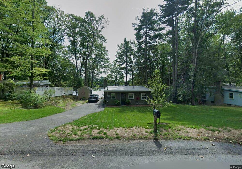
131 Island Rd Lunenburg, MA 01462
Estimated Value: $445,000 - $608,915
3
Beds
1
Bath
1,014
Sq Ft
$519/Sq Ft
Est. Value
About This Home
This home is located at 131 Island Rd, Lunenburg, MA 01462 and is currently estimated at $526,729, approximately $519 per square foot. 131 Island Rd is a home located in Worcester County with nearby schools including Lunenburg Primary School and Lunenburg High School.
Ownership History
Date
Name
Owned For
Owner Type
Purchase Details
Closed on
Dec 2, 2003
Sold by
Simpson George Ray Est
Bought by
Masciarelli Elizabeth A and Masciarelli Michael D
Current Estimated Value
Home Financials for this Owner
Home Financials are based on the most recent Mortgage that was taken out on this home.
Original Mortgage
$193,500
Outstanding Balance
$90,977
Interest Rate
6.09%
Mortgage Type
Purchase Money Mortgage
Estimated Equity
$435,752
Create a Home Valuation Report for This Property
The Home Valuation Report is an in-depth analysis detailing your home's value as well as a comparison with similar homes in the area
Home Values in the Area
Average Home Value in this Area
Purchase History
| Date | Buyer | Sale Price | Title Company |
|---|---|---|---|
| Masciarelli Elizabeth A | $215,000 | -- |
Source: Public Records
Mortgage History
| Date | Status | Borrower | Loan Amount |
|---|---|---|---|
| Open | Masciarelli Elizabeth A | $193,500 |
Source: Public Records
Tax History Compared to Growth
Tax History
| Year | Tax Paid | Tax Assessment Tax Assessment Total Assessment is a certain percentage of the fair market value that is determined by local assessors to be the total taxable value of land and additions on the property. | Land | Improvement |
|---|---|---|---|---|
| 2025 | $8,230 | $573,100 | $413,000 | $160,100 |
| 2024 | $7,405 | $525,200 | $389,700 | $135,500 |
| 2023 | $9,320 | $637,500 | $478,500 | $159,000 |
| 2022 | $5,492 | $319,500 | $203,400 | $116,100 |
| 2020 | $5,166 | $285,100 | $204,500 | $80,600 |
| 2019 | $4,823 | $258,200 | $185,900 | $72,300 |
| 2018 | $3,124 | $231,700 | $177,200 | $54,500 |
| 2017 | $4,470 | $223,700 | $172,000 | $51,700 |
| 2016 | $4,187 | $213,500 | $161,300 | $52,200 |
| 2015 | $3,624 | $197,800 | $146,600 | $51,200 |
Source: Public Records
Map
Nearby Homes
- 91 Valley Rd
- 167 S Row Rd
- 55 Beachview Rd
- 7 Hickory Ln
- 00 Tyler Rd
- 63 Holman St
- 691 Chase Rd
- 319 Highland St
- 0 Tyler Rd Unit 72560808
- 64 Chestnut St
- 35 Leominster Rd
- 830 Massachusetts Ave
- 2 Tamarack Ln
- 711 Massachusetts Ave Unit 2
- 759 Northfield Rd
- 1790 Mass Ave Unit 3
- 507/533R W Townsend Rd
- 2 Riley Rd Unit B
- 12 W Townsend Rd
- 5 Chestnut Dr
- 127 Island Rd
- 137 Island Rd
- 12 Horizon Island Rd
- 143 Island Rd
- 120 Island Rd
- 149 Island Rd
- 134 Island Rd
- 148 Island Rd
- 17 Horizon Island Rd
- 17 Horizon Island Rd Unit 17
- 112 Island Rd
- 107 Island Rd
- 155 Island Rd
- 103 Island Rd
- 158 Island Rd
- 163 Island Rd
- 163 Island Rd Unit 163
- 163 Island Rd Unit SF
- 101 Island Rd
- 99 Island Rd