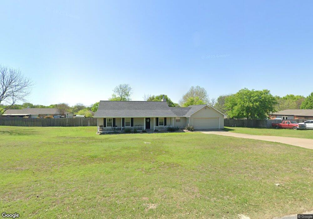
131 Lonquist Rd Midlothian, TX 76065
Estimated Value: $294,297 - $306,000
3
Beds
3
Baths
1,434
Sq Ft
$209/Sq Ft
Est. Value
About This Home
This home is located at 131 Lonquist Rd, Midlothian, TX 76065 and is currently estimated at $300,149, approximately $209 per square foot. 131 Lonquist Rd is a home located in Ellis County with nearby schools including T E Baxter Elementary School and Walnut Grove Middle School.
Ownership History
Date
Name
Owned For
Owner Type
Purchase Details
Closed on
Oct 23, 2020
Sold by
Stanford Nicholas and Stanford Janette
Bought by
Miller Steven and Miller Debra
Current Estimated Value
Home Financials for this Owner
Home Financials are based on the most recent Mortgage that was taken out on this home.
Original Mortgage
$120,000
Outstanding Balance
$106,539
Interest Rate
2.8%
Mortgage Type
New Conventional
Estimated Equity
$193,610
Purchase Details
Closed on
Jan 9, 2014
Sold by
Jobe Dennis Lloyd
Bought by
Stanford Nicholas and Stanford Janette
Home Financials for this Owner
Home Financials are based on the most recent Mortgage that was taken out on this home.
Original Mortgage
$107,500
Interest Rate
4.34%
Mortgage Type
New Conventional
Create a Home Valuation Report for This Property
The Home Valuation Report is an in-depth analysis detailing your home's value as well as a comparison with similar homes in the area
Home Values in the Area
Average Home Value in this Area
Purchase History
| Date | Buyer | Sale Price | Title Company |
|---|---|---|---|
| Miller Steven | -- | Providence Title Company | |
| Stanford Nicholas | -- | Providence Title |
Source: Public Records
Mortgage History
| Date | Status | Borrower | Loan Amount |
|---|---|---|---|
| Open | Miller Steven | $120,000 | |
| Previous Owner | Stanford Nicholas | $107,500 |
Source: Public Records
Tax History
| Year | Tax Paid | Tax Assessment Tax Assessment Total Assessment is a certain percentage of the fair market value that is determined by local assessors to be the total taxable value of land and additions on the property. | Land | Improvement |
|---|---|---|---|---|
| 2025 | $3,414 | $272,669 | $100,000 | $172,669 |
| 2024 | $3,414 | $255,325 | -- | -- |
| 2023 | $3,414 | $232,114 | $0 | $0 |
| 2022 | $4,728 | $211,013 | $0 | $0 |
| 2021 | $4,539 | $191,830 | $39,380 | $152,450 |
| 2020 | $4,320 | $171,730 | $37,500 | $134,230 |
| 2019 | $4,153 | $158,600 | $37,500 | $134,230 |
| 2017 | $3,889 | $146,120 | $30,000 | $116,120 |
| 2016 | $3,523 | $132,350 | $30,000 | $102,350 |
Source: Public Records
Map
Nearby Homes
- 111 Kirk Rd
- 4210 Tea Olive Dr
- 4821 Azalea Way
- Lot 5 Tbd Ln
- Lot 2 Tbd Ln
- Lot 3 Tbd Ln
- 217 Silo Dr
- 7 Saint Charles Place
- 3056 Farmhouse Dr
- 104 Calf Ln
- 3259 Jersey Dr
- 917 New York Ave
- 717 Willowbranch Ln
- 1003 Short Line Blvd
- 3029 Canary Ln
- 3438 Arbor Grove Trail
- 1014 Baltic Ave
- 1016 N Carolina Ave
- 2875 E Main St
- 3033 Blue Jay Ln
Your Personal Tour Guide
Ask me questions while you tour the home.