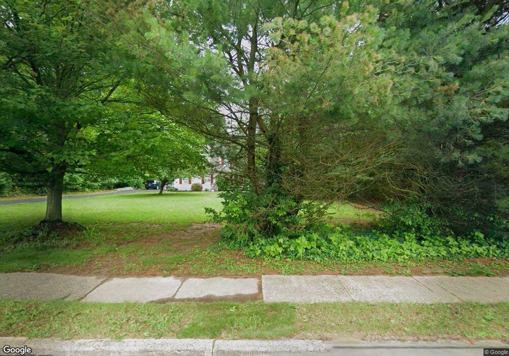
131 Maple Ave Hatboro, PA 19040
Estimated Value: $732,825 - $817,000
4
Beds
3
Baths
2,974
Sq Ft
$260/Sq Ft
Est. Value
About This Home
This home is located at 131 Maple Ave, Hatboro, PA 19040 and is currently estimated at $772,706, approximately $259 per square foot. 131 Maple Ave is a home located in Montgomery County with nearby schools including Hallowell Elementary School, Keith Valley Middle School, and Hatboro-Horsham Senior High School.
Ownership History
Date
Name
Owned For
Owner Type
Purchase Details
Closed on
Oct 19, 2022
Sold by
Kofsky William H
Bought by
Kofsky William H
Current Estimated Value
Purchase Details
Closed on
Nov 15, 2001
Sold by
Yorkfield Construction Co Inc
Bought by
Kofsky Andrea M and Kofsky William H
Create a Home Valuation Report for This Property
The Home Valuation Report is an in-depth analysis detailing your home's value as well as a comparison with similar homes in the area
Home Values in the Area
Average Home Value in this Area
Purchase History
| Date | Buyer | Sale Price | Title Company |
|---|---|---|---|
| Kofsky William H | -- | -- | |
| Jarosz Christina P | $39,771 | First Partners Abstract | |
| Jarosz Christina P | $39,771 | First Partners Abstract | |
| Kofsky Andrea M | $338,070 | -- |
Source: Public Records
Tax History Compared to Growth
Tax History
| Year | Tax Paid | Tax Assessment Tax Assessment Total Assessment is a certain percentage of the fair market value that is determined by local assessors to be the total taxable value of land and additions on the property. | Land | Improvement |
|---|---|---|---|---|
| 2025 | $8,857 | $225,320 | -- | -- |
| 2024 | $8,857 | $225,320 | -- | -- |
| 2023 | $8,431 | $225,320 | $0 | $0 |
| 2022 | $8,727 | $241,040 | $75,720 | $165,320 |
| 2021 | $8,520 | $241,040 | $75,720 | $165,320 |
| 2020 | $8,319 | $241,040 | $75,720 | $165,320 |
| 2019 | $8,159 | $241,040 | $75,720 | $165,320 |
| 2018 | $6,636 | $241,040 | $75,720 | $165,320 |
| 2017 | $7,794 | $241,040 | $75,720 | $165,320 |
| 2016 | $7,700 | $241,040 | $75,720 | $165,320 |
| 2015 | $7,354 | $241,040 | $75,720 | $165,320 |
| 2014 | $7,354 | $241,040 | $75,720 | $165,320 |
Source: Public Records
Map
Nearby Homes
- 204 Wilson Ave
- 414 Watson Ave
- 890 Easton Rd
- 125 Meetinghouse Rd
- 416 Aspen Ln
- 236 Oak Hill Dr
- 604 Liberty Ridge Rd
- 616 Liberty Ridge Rd
- 603 Liberty Ridge Rd
- 605 Liberty Ridge Rd
- 607 Liberty Ridge Rd
- 611 Liberty Ridge Rd
- Faraday Plan at Liberty Ridge
- Westmont Plan at Liberty Ridge
- Northbrook Plan at Liberty Ridge
- 474 Easton Rd
- 13 Eagle Ct
- 1002 Windsor Rd
- 224 Oakdale Ave
- 213B Cottage Ave
- 426 W Moreland Ave
- 428 W Moreland Ave
- 128 Holly Dr
- 424 W Moreland Ave
- 501 Long Ln
- 422 W Moreland Ave
- 126 Holly Dr
- 130 Holly Dr
- 201 Maple Ave
- 423 W Moreland Ave
- 503 Long Ln
- 500 Long Ln
- 132 Holly Dr
- 510 W Moreland Ave
- 124 Holly Dr
- 420 W Moreland Ave
- 121 Maple Ave
- 421 W Moreland Ave
- 418 W Moreland Ave
- 122 Holly Dr