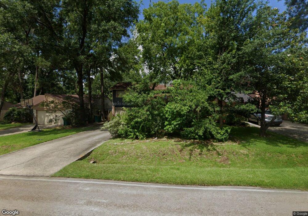
131 Maple Branch St Spring, TX 77380
Grogan's Mill NeighborhoodEstimated Value: $265,829 - $335,000
3
Beds
3
Baths
1,383
Sq Ft
$220/Sq Ft
Est. Value
About This Home
This home is located at 131 Maple Branch St, Spring, TX 77380 and is currently estimated at $304,207, approximately $219 per square foot. 131 Maple Branch St is a home located in Montgomery County with nearby schools including Lamar Elementary School, W.D Wilkerson Intermediate School, and Knox J High School.
Ownership History
Date
Name
Owned For
Owner Type
Purchase Details
Closed on
Oct 3, 2010
Sold by
Rich Alva C
Bought by
Rich Christine
Current Estimated Value
Purchase Details
Closed on
Jun 2, 2001
Sold by
Pierce Eugene L and Pierce Suzanne
Bought by
Rich Christine
Home Financials for this Owner
Home Financials are based on the most recent Mortgage that was taken out on this home.
Original Mortgage
$60,000
Outstanding Balance
$22,250
Interest Rate
7.1%
Estimated Equity
$281,957
Purchase Details
Closed on
Aug 9, 1982
Sold by
Corral Raul
Bought by
Rich Christine
Create a Home Valuation Report for This Property
The Home Valuation Report is an in-depth analysis detailing your home's value as well as a comparison with similar homes in the area
Home Values in the Area
Average Home Value in this Area
Purchase History
| Date | Buyer | Sale Price | Title Company |
|---|---|---|---|
| Rich Christine | -- | None Available | |
| Rich Christine | -- | -- | |
| Rich Christine | -- | -- | |
| Rich Christine | -- | -- |
Source: Public Records
Mortgage History
| Date | Status | Borrower | Loan Amount |
|---|---|---|---|
| Open | Rich Christine | $60,000 | |
| Closed | Rich Christine | $60,000 | |
| Closed | Rich Christine | $11,250 |
Source: Public Records
Tax History
| Year | Tax Paid | Tax Assessment Tax Assessment Total Assessment is a certain percentage of the fair market value that is determined by local assessors to be the total taxable value of land and additions on the property. | Land | Improvement |
|---|---|---|---|---|
| 2025 | $628 | $221,374 | $50,000 | $171,374 |
| 2024 | $628 | $202,026 | -- | -- |
| 2023 | $586 | $183,660 | $50,000 | $171,300 |
| 2022 | $1,078 | $166,960 | $50,000 | $145,070 |
| 2021 | $3,139 | $151,780 | $12,380 | $139,400 |
| 2020 | $3,098 | $147,320 | $12,380 | $134,940 |
| 2019 | $3,345 | $153,690 | $12,380 | $141,310 |
| 2018 | $2,236 | $149,000 | $12,380 | $136,620 |
| 2017 | $3,495 | $158,410 | $12,380 | $146,030 |
| 2016 | $3,197 | $144,910 | $12,380 | $132,530 |
| 2015 | $1,246 | $136,750 | $12,380 | $133,740 |
| 2014 | $1,246 | $124,320 | $12,380 | $115,470 |
Source: Public Records
Map
Nearby Homes
- 2 Honeycomb Ridge Place
- 25 N Mossrock Rd
- 2 Kittiwake Ct
- 33 Kittiwake Ct
- 180 Maple Branch St
- 26 Wishbonebush Rd
- 1 Green Blade Ln
- 424 Nursery Rd
- 4 Coralvine Ct
- 426 Nursery Rd
- 14 Wakerobin Ct
- 16 Crinkleroot Ct
- 2 Noontide Cir
- 1830 Breezin Ct
- 25722 Overlake Dr
- 90 Crystal Lake Ln
- 1904 Nursery Rd
- 407 Champion Lake Dr
- 25510 Many Oak Dr
- 25506 Many Oak Dr
- 127 Maple Branch St
- 135 Maple Branch St
- 123 Maple Branch St
- 123 Maple Branch St
- 123 Maple Branch St Unit 77380
- 22 S Bristol Gate Place
- 128 Maple Branch St
- 10 S Bristol Gate Place
- 119 Maple Branch St
- 139 Maple Branch St
- 1 Whistlers Ct
- 6 Whistlers Ct
- 26 N Bristol Gate Place
- 6 S Bristol Gate Place
- 115 Maple Branch St
- Lot 121 Nursery Rd
- 138 Maple Branch St
- 143 Maple Branch St
- 30 N Bristol Gate Place
- 5 Whistlers Ct
Your Personal Tour Guide
Ask me questions while you tour the home.