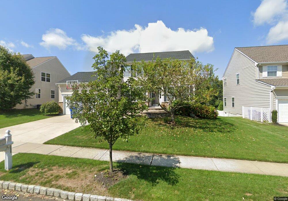
131 Maple Hill Dr Swedesboro, NJ 08085
Woolwich Township NeighborhoodEstimated Value: $595,000 - $623,000
4
Beds
3
Baths
2,780
Sq Ft
$217/Sq Ft
Est. Value
About This Home
This home is located at 131 Maple Hill Dr, Swedesboro, NJ 08085 and is currently estimated at $604,323, approximately $217 per square foot. 131 Maple Hill Dr is a home located in Gloucester County with nearby schools including Margaret C Clifford School, Gov. Charles C. Stratton School, and Gen. Charles G. Harker School.
Ownership History
Date
Name
Owned For
Owner Type
Purchase Details
Closed on
May 15, 2019
Sold by
Mctamney Michael and Mctamney Nancy
Bought by
Taccard Stephanie L and Ryan Patrick S
Current Estimated Value
Home Financials for this Owner
Home Financials are based on the most recent Mortgage that was taken out on this home.
Original Mortgage
$276,000
Outstanding Balance
$242,660
Interest Rate
4.2%
Mortgage Type
New Conventional
Estimated Equity
$361,663
Purchase Details
Closed on
Nov 6, 2003
Sold by
Beazer Homes Corp
Bought by
Mctamney Michael and Mctamney Nancy
Home Financials for this Owner
Home Financials are based on the most recent Mortgage that was taken out on this home.
Original Mortgage
$245,000
Interest Rate
4.37%
Mortgage Type
Purchase Money Mortgage
Create a Home Valuation Report for This Property
The Home Valuation Report is an in-depth analysis detailing your home's value as well as a comparison with similar homes in the area
Home Values in the Area
Average Home Value in this Area
Purchase History
| Date | Buyer | Sale Price | Title Company |
|---|---|---|---|
| Taccard Stephanie L | $345,000 | Surety Title Company Llc | |
| Mctamney Michael | $314,904 | Lawyers Title Insurance Corp |
Source: Public Records
Mortgage History
| Date | Status | Borrower | Loan Amount |
|---|---|---|---|
| Open | Taccard Stephanie L | $276,000 | |
| Previous Owner | Mctamney Michael | $245,000 |
Source: Public Records
Tax History Compared to Growth
Tax History
| Year | Tax Paid | Tax Assessment Tax Assessment Total Assessment is a certain percentage of the fair market value that is determined by local assessors to be the total taxable value of land and additions on the property. | Land | Improvement |
|---|---|---|---|---|
| 2025 | $11,723 | $349,100 | $59,400 | $289,700 |
| 2024 | $11,517 | $349,100 | $59,400 | $289,700 |
| 2023 | $11,517 | $349,100 | $59,400 | $289,700 |
| 2022 | $11,754 | $349,100 | $59,400 | $289,700 |
| 2021 | $11,995 | $349,100 | $59,400 | $289,700 |
| 2020 | $11,978 | $349,100 | $59,400 | $289,700 |
| 2019 | $11,933 | $317,700 | $64,400 | $253,300 |
| 2018 | $11,885 | $317,700 | $64,400 | $253,300 |
| 2017 | $11,653 | $317,700 | $64,400 | $253,300 |
| 2016 | $11,539 | $317,700 | $64,400 | $253,300 |
| 2015 | $11,275 | $317,700 | $64,400 | $253,300 |
| 2014 | $10,713 | $317,700 | $64,400 | $253,300 |
Source: Public Records
Map
Nearby Homes
- 364 High Hill Rd
- 135 Juniper Ln
- 142 Ramona Ln
- 217 Spruce Trail
- 9 Brattleboro Rd
- 1508 Lexington Mews
- 4 Hylton Rd
- 5 Wesley Dr
- 1030 Auburn Rd
- 203 Amesbury Blvd
- 414 Vanneman Ave
- 330 Taft Dr
- 120 Edward Dr
- 112 Carriage Ln
- 1932 Kings Hwy
- 55 Hamilton St
- 1720-22 Kings Hwy
- 119 Railroad Ave
- 1602 Kings Hwy
- 105 Sammy St
- 127 Maple Hill Dr
- 133 Maple Hill Dr
- 10 Hill Farm Way
- 12 Hill Farm Way
- 8 Hill Farm Way
- 123 Maple Hill Dr
- 38 Hillside Dr
- 34 Hillside Dr
- 137 Maple Hill Dr
- 14 Hill Farm Way
- 6 Hill Farm Way
- 32 Hillside Dr
- 134 Maple Hill Dr
- 117 Maple Hill Dr
- 40 Hillside Dr
- 139 Maple Hill Dr
- 20 Hillside Dr
- 18 Hill Farm Way
- 28 Hillside Dr
- 136 Maple Hill Dr