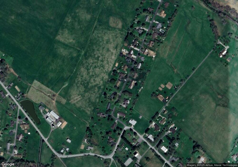
131 Maple Ln Elkins, WV 26241
Estimated Value: $230,000 - $301,000
3
Beds
2
Baths
2,028
Sq Ft
$135/Sq Ft
Est. Value
About This Home
This home is located at 131 Maple Ln, Elkins, WV 26241 and is currently estimated at $273,721, approximately $134 per square foot. 131 Maple Ln is a home with nearby schools including New Life Christian School and Hart Chapel Christian Academy.
Ownership History
Date
Name
Owned For
Owner Type
Purchase Details
Closed on
Oct 21, 2020
Sold by
Sponaugle Dannie and Sponaugle William
Bought by
Ross Michael E and Ross Janetta G
Current Estimated Value
Home Financials for this Owner
Home Financials are based on the most recent Mortgage that was taken out on this home.
Original Mortgage
$150,000
Outstanding Balance
$132,812
Interest Rate
2.9%
Mortgage Type
New Conventional
Estimated Equity
$140,909
Create a Home Valuation Report for This Property
The Home Valuation Report is an in-depth analysis detailing your home's value as well as a comparison with similar homes in the area
Home Values in the Area
Average Home Value in this Area
Purchase History
| Date | Buyer | Sale Price | Title Company |
|---|---|---|---|
| Ross Michael E | $215,000 | None Available |
Source: Public Records
Mortgage History
| Date | Status | Borrower | Loan Amount |
|---|---|---|---|
| Open | Ross Michael E | $150,000 |
Source: Public Records
Tax History Compared to Growth
Tax History
| Year | Tax Paid | Tax Assessment Tax Assessment Total Assessment is a certain percentage of the fair market value that is determined by local assessors to be the total taxable value of land and additions on the property. | Land | Improvement |
|---|---|---|---|---|
| 2025 | $935 | $137,640 | $32,940 | $104,700 |
| 2024 | $935 | $133,380 | $32,940 | $100,440 |
| 2023 | $899 | $123,720 | $25,800 | $97,920 |
| 2022 | $796 | $118,020 | $23,640 | $94,380 |
| 2021 | $794 | $117,660 | $23,640 | $94,020 |
| 2020 | $649 | $116,160 | $23,640 | $92,520 |
| 2019 | $640 | $114,840 | $24,360 | $90,480 |
| 2018 | $633 | $113,820 | $24,360 | $89,460 |
| 2017 | $629 | $113,340 | $24,360 | $88,980 |
| 2016 | $606 | $109,800 | $22,920 | $86,880 |
| 2015 | $737 | $107,640 | $22,920 | $84,720 |
| 2014 | $737 | $105,360 | $22,200 | $83,160 |
Source: Public Records
Map
Nearby Homes
- 253 Chenoweth Creek Rd
- 00 Plantation Dr
- 000 Plantation Dr
- 0 Plantation Dr
- 0000 Plantation Dr
- 3796 Beverly Pike
- TBD Beverly Pike
- TBD Moyer Hollow Rd
- 124 Hillside Dr
- 75 Isner Creek Rd
- 201 Westridge Dr
- TBD Chemistry Dr
- 624 Arnold Hill Rd
- TBD Red Oak Ln
- 789 Teaberry Hills Ln
- 104 Midway Loop
- 34 Val Dr
- 242 Bearhunter Estate
- 330 Beverly Pike
- 206 Evergreen Dr
