131 Maple Ln New Lenox, IL 60451
Estimated Value: $302,196
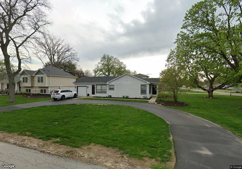
About This Home
This home is located at 131 Maple Ln, New Lenox, IL 60451 and is currently priced at $302,196. 131 Maple Ln is a home located in Will County with nearby schools including Oster-Oakview School, Haines Elementary School, and Lincoln Way West.
Ownership History
We collect this data history from publicly available records. To have your information removed, we recommend requesting removal directly through your county’s website.
Purchase Details
Home Financials for this Owner
Home Financials are based on the most recent Mortgage that was taken out on this home.Purchase Details
Purchase Details
Purchase Details
Purchase Details
Home Values in the Area
Average Home Value in this Area
Purchase History
We collect this data history from publicly available records. To have your information removed, we recommend requesting removal directly through your county’s website.
| Date | Buyer | Sale Price | Title Company |
|---|---|---|---|
| $295,000 | Old Republic Title | ||
| $195,000 | Fidelity National Title | ||
| -- | Attorney | ||
| $175,000 | Atg | ||
| -- | -- |
Mortgage History
We collect this data history from publicly available records. To have your information removed, we recommend requesting removal directly through your county’s website.
| Date | Status | Borrower | Loan Amount |
|---|---|---|---|
| Open | $265,500 |
Tax History
We collect this data history from publicly available records. To have your information removed, we recommend requesting removal directly through your county’s website.
| Year | Tax Paid | Tax Assessment Tax Assessment Total Assessment is a certain percentage of the fair market value that is determined by local assessors to be the total taxable value of land and additions on the property. | Land | Improvement |
|---|---|---|---|---|
| 2022 | $5,911 | $68,318 | $26,768 | $41,550 |
| 2021 | $5,631 | $64,250 | $25,174 | $39,076 |
| 2020 | $4,952 | $61,958 | $24,276 | $37,682 |
| 2019 | $4,732 | $60,037 | $23,523 | $36,514 |
| 2018 | $4,615 | $57,967 | $22,712 | $35,255 |
| 2017 | $4,378 | $56,300 | $22,059 | $34,241 |
| 2016 | $1,484 | $54,794 | $21,469 | $33,325 |
| 2015 | $1,506 | $53,069 | $20,793 | $32,276 |
| 2014 | $1,506 | $52,414 | $20,536 | $31,878 |
| 2013 | $1,506 | $53,121 | $20,813 | $32,308 |
Map
- Lot 207 N Cedar Rd
- 1271 Edmonds Ave
- 134 Michael Ln
- 128 Gum St
- 317 Hillside Rd
- 111 Oak St
- 224 Oak St
- 380 N Cedar Rd
- 1301 Silver Cross Blvd
- 417 Manor Ct Unit B
- Vacant W Maple St
- 404 Livingston Dr
- 605 Crescenzo Ct Unit C
- 0 N Cedar Rd
- 144 1st Ave
- 215 S Prairie Rd
- 1605 S Regan Rd
- 328 E Lincoln Hwy
- 144 E 2nd Ave
- 0 Silver Cross Blvd
Ask me questions while you tour the home.