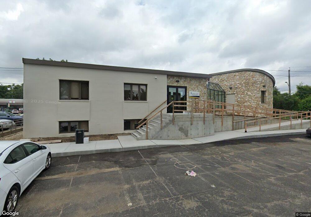
131 Merrick Rd Unit Lower Merrick, NY 11566
Estimated Value: $2,009,759
Studio
--
Bath
15,480
Sq Ft
$130/Sq Ft
Est. Value
About This Home
This home is located at 131 Merrick Rd Unit Lower, Merrick, NY 11566 and is currently priced at $2,009,759, approximately $129 per square foot. 131 Merrick Rd Unit Lower is a home located in Nassau County with nearby schools including Merrick Avenue Middle School, John F. Kennedy High School, and Grace Christian Academy.
Ownership History
Date
Name
Owned For
Owner Type
Purchase Details
Closed on
Jan 6, 2021
Sold by
Capobianco Joseph
Bought by
Messana Jsoeph and Messana Melissa
Current Estimated Value
Home Financials for this Owner
Home Financials are based on the most recent Mortgage that was taken out on this home.
Original Mortgage
$1,028,005
Outstanding Balance
$915,231
Interest Rate
2.7%
Mortgage Type
Commercial
Purchase Details
Closed on
Mar 6, 1998
Sold by
Vitacco Guy A
Bought by
Cobes Holding Co
Create a Home Valuation Report for This Property
The Home Valuation Report is an in-depth analysis detailing your home's value as well as a comparison with similar homes in the area
Home Values in the Area
Average Home Value in this Area
Purchase History
| Date | Buyer | Sale Price | Title Company |
|---|---|---|---|
| Messana Jsoeph | -- | None Available | |
| Messana Jsoeph | -- | None Available | |
| Messana Jsoeph | -- | None Available | |
| Cobes Holding Co | $500,000 | -- | |
| Cobes Holding Co | $500,000 | -- |
Source: Public Records
Mortgage History
| Date | Status | Borrower | Loan Amount |
|---|---|---|---|
| Open | Messana Jsoeph | $1,028,005 | |
| Closed | Messana Jsoeph | $1,028,005 |
Source: Public Records
Tax History
| Year | Tax Paid | Tax Assessment Tax Assessment Total Assessment is a certain percentage of the fair market value that is determined by local assessors to be the total taxable value of land and additions on the property. | Land | Improvement |
|---|---|---|---|---|
| 2025 | $82,845 | $12,329 | $12,328 | $1 |
| 2024 | $23,494 | $9,607 | $9,606 | $1 |
Source: Public Records
Map
Nearby Homes
- 212 Babylon Turnpike
- 174 Babylon Turnpike
- 48 Rosebud Ave
- 2688 Rosebud Ave
- 2538 Bradley Ct
- 1903 George Ct
- 2729 Shore Dr
- 2043 Ripley Ln
- 131 Gregory Ave
- 1763 E Berkshire Rd
- 2077 Byron Rd
- 2341 Dobson Ave
- 217 Bayview Ave
- 80 Dobson Ave
- 2863 Harbor Rd
- 2072 Brighton Way
- 109 Elliot St
- 2884 Bay Dr
- 110 Hampton Way
- 2845 Whaleneck Dr
Your Personal Tour Guide
Ask me questions while you tour the home.