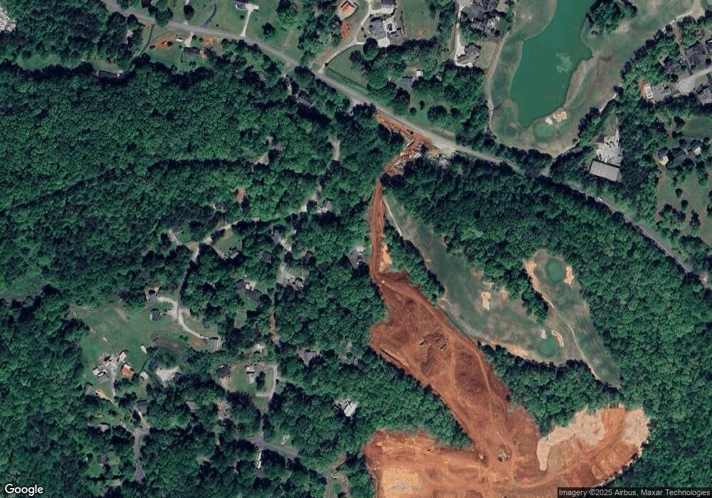
131 Moss Rd Dawsonville, GA 30534
Dawson County NeighborhoodEstimated Value: $326,000 - $339,000
3
Beds
2
Baths
1,300
Sq Ft
$254/Sq Ft
Est. Value
About This Home
This home is located at 131 Moss Rd, Dawsonville, GA 30534 and is currently estimated at $330,420, approximately $254 per square foot. 131 Moss Rd is a home located in Dawson County with nearby schools including Kilough Elementary School, Dawson County Junior High School, and Dawson County Middle School.
Ownership History
Date
Name
Owned For
Owner Type
Purchase Details
Closed on
Jan 22, 2002
Sold by
Brooks Cheryl A
Bought by
Smith Catherine
Current Estimated Value
Purchase Details
Closed on
Jan 10, 2001
Sold by
Brooks Cheryl A
Bought by
Brooks Cheryl A
Purchase Details
Closed on
Jan 2, 2001
Sold by
Rainwater Gary L
Bought by
Brooks Cheryl A
Purchase Details
Closed on
Jul 6, 1998
Sold by
Carlson Linda
Bought by
Rainwater Gary L
Purchase Details
Closed on
Jan 27, 1998
Sold by
Moss D W
Bought by
Carlson Linda
Purchase Details
Closed on
Sep 27, 1996
Sold by
Stites David R
Bought by
Moss D W
Create a Home Valuation Report for This Property
The Home Valuation Report is an in-depth analysis detailing your home's value as well as a comparison with similar homes in the area
Home Values in the Area
Average Home Value in this Area
Purchase History
| Date | Buyer | Sale Price | Title Company |
|---|---|---|---|
| Smith Catherine | $103,000 | -- | |
| Brooks Cheryl A | -- | -- | |
| Brooks Cheryl A | $95,900 | -- | |
| Rainwater Gary L | $89,500 | -- | |
| Carlson Linda | $42,200 | -- | |
| Moss D W | -- | -- |
Source: Public Records
Tax History Compared to Growth
Tax History
| Year | Tax Paid | Tax Assessment Tax Assessment Total Assessment is a certain percentage of the fair market value that is determined by local assessors to be the total taxable value of land and additions on the property. | Land | Improvement |
|---|---|---|---|---|
| 2024 | $1,716 | $107,632 | $14,000 | $93,632 |
| 2023 | $1,718 | $117,032 | $14,000 | $103,032 |
| 2022 | $1,769 | $84,584 | $14,000 | $70,584 |
| 2021 | $1,539 | $70,008 | $14,000 | $56,008 |
| 2020 | $1,561 | $67,968 | $14,000 | $53,968 |
| 2019 | $1,334 | $57,888 | $14,000 | $43,888 |
| 2018 | $1,337 | $57,888 | $14,000 | $43,888 |
| 2017 | $929 | $40,842 | $8,000 | $32,842 |
| 2016 | $885 | $39,017 | $8,000 | $31,017 |
| 2015 | $706 | $30,598 | $7,360 | $23,238 |
| 2014 | $647 | $27,376 | $6,800 | $20,576 |
| 2013 | -- | $22,732 | $5,600 | $17,132 |
Source: Public Records
Map
Nearby Homes
- 131 Plantation Dr
- Savoy Plan at Creekside
- Pearson Plan at Creekside
- Hampstead Plan at Creekside
- 12 Springleaf Way
- 133 Gresham Ct
- 22 Springleaf Way
- 31 Briarwood Dr W
- 173 Mountainside Dr E
- 56 Knollwood Ct
- 75 Stoneridge Ct
- 147 Blue Heron Bluff
- 9 Fieldstone Ct E
- 145 Dogwood Way
- 57 Toto Dr
- 824 Night Fire Dr
- 503 Night Fire Dr
- 89 Silver Fox Dr
- 1619 Price Rd
- 771 Night Fire Dr
- 8 Mayfair St
- 151 Moss Rd
- 109 Moss Rd
- 71 Moss Rd
- s 165 Foxhill Dr Unit 17187484913271359696
- s 165 Foxhill Dr Unit 8137815339656891391
- s 165 Foxhill Dr Unit 11777803287206757869
- 59 Chestnut Knoll Ct
- 41 Chestnut Trail
- 5 Chestnut Trail
- 167 Moss Rd
- 35 Chestnut Trail
- 63 Moss Rd
- 132 Moss Rd
- 178 Foxhill Dr
- 187 Foxhill Dr
- 9 Chestnut Trail
- 166 Moss Rd
- 65 Magnolia Way
- 188 Foxhill Dr
