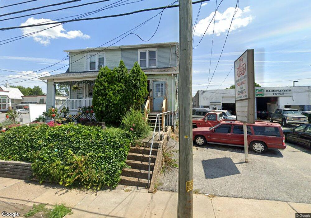
131 N Macdade Blvd Glenolden, PA 19036
Estimated Value: $153,430 - $281,000
3
Beds
1
Bath
1,148
Sq Ft
$184/Sq Ft
Est. Value
About This Home
This home is located at 131 N Macdade Blvd, Glenolden, PA 19036 and is currently estimated at $211,358, approximately $184 per square foot. 131 N Macdade Blvd is a home located in Delaware County with nearby schools including Glenolden School, Interboro Senior High School, and Liberty Baptist Academy.
Ownership History
Date
Name
Owned For
Owner Type
Purchase Details
Closed on
Apr 2, 2025
Sold by
Tisserand Peter J and Tisserand Carol G
Bought by
Tisserand Peter J and Tisserand Frits
Current Estimated Value
Purchase Details
Closed on
Mar 22, 2016
Sold by
Tisserand Peter J
Bought by
Tisserand Peter J and Tisserand Carol G
Purchase Details
Closed on
Sep 28, 1993
Sold by
Doud Terry L and Doud Nancy L
Bought by
Tisserand Peter J and Tisserand Judith F
Create a Home Valuation Report for This Property
The Home Valuation Report is an in-depth analysis detailing your home's value as well as a comparison with similar homes in the area
Home Values in the Area
Average Home Value in this Area
Purchase History
| Date | Buyer | Sale Price | Title Company |
|---|---|---|---|
| Tisserand Peter J | -- | None Listed On Document | |
| Tisserand Peter J | -- | None Listed On Document | |
| Tisserand Peter J | -- | None Available | |
| Tisserand Peter J | -- | -- |
Source: Public Records
Tax History Compared to Growth
Tax History
| Year | Tax Paid | Tax Assessment Tax Assessment Total Assessment is a certain percentage of the fair market value that is determined by local assessors to be the total taxable value of land and additions on the property. | Land | Improvement |
|---|---|---|---|---|
| 2025 | $2,256 | $62,900 | $32,950 | $29,950 |
| 2024 | $2,256 | $62,900 | $32,950 | $29,950 |
| 2023 | $2,207 | $62,900 | $32,950 | $29,950 |
| 2022 | $2,171 | $62,900 | $32,950 | $29,950 |
| 2021 | $3,062 | $62,900 | $32,950 | $29,950 |
| 2020 | $3,509 | $67,430 | $29,070 | $38,360 |
| 2019 | $3,470 | $67,430 | $29,070 | $38,360 |
| 2018 | $3,408 | $67,430 | $0 | $0 |
| 2017 | $3,332 | $67,430 | $0 | $0 |
| 2016 | $378 | $67,430 | $0 | $0 |
| 2015 | $370 | $67,430 | $0 | $0 |
| 2014 | $378 | $67,430 | $0 | $0 |
Source: Public Records
Map
Nearby Homes
- 27 N Macdade Blvd
- 1 S Macdade Blvd
- 3 S Bonsall Ave
- 1212 Macdade Blvd
- 419 Custer Ave
- 125 N Scott Ave
- 3 W Cooke Ave
- 4 S Academy Ave
- 126 Hansen Terrace
- 620 S Garfield Ave
- 1025 Andrews Ave
- 1011 Andrews Ave
- 102 Rambler Rd
- 164 Wayne Ave
- 539 Pershing Ave
- 119 Isabel Ave
- 23 W Knowles Ave
- 119 Folcroft Ave
- 44 High St
- 128 E Cooke Ave
- 133 N Macdade Blvd
- 136 N Wells Ave
- 130 N Wells Ave
- 128 N Wells Ave
- 138 N Wells Ave
- 126 N Wells Ave
- 140 N Wells Ave
- 135 N Macdade Blvd
- 122 N Wells Ave
- 142 N Wells Ave
- 120 N Wells Ave
- 148 N Wells Ave
- 146 N Wells Ave
- 116 N Wells Ave
- 112 N Wells Ave
- 105 N Macdade Blvd
- 110 N Wells Ave
- 148 N Macdade Blvd
- 131 N Wells Ave
- 129 N Wells Ave