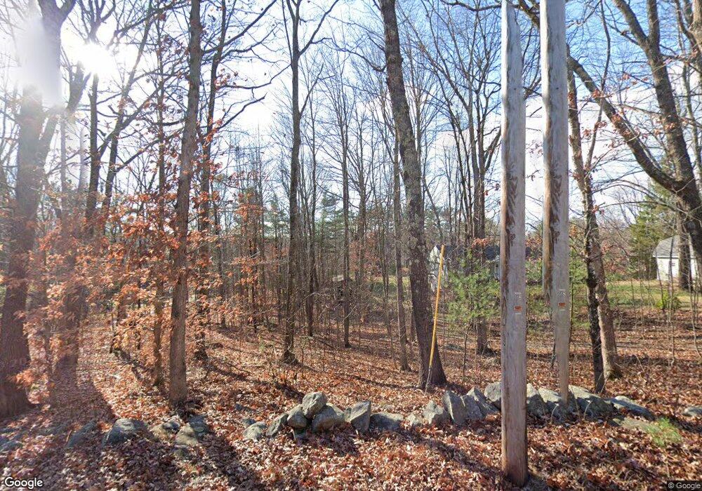
Estimated Value: $390,263 - $442,000
2
Beds
2
Baths
960
Sq Ft
$441/Sq Ft
Est. Value
About This Home
This home is located at 131 N Raymond Rd, Gray, ME 04039 and is currently estimated at $423,066, approximately $440 per square foot. 131 N Raymond Rd is a home located in Cumberland County with nearby schools including Gray-New Gloucester High School and Fiddlehead School of Arts & Science.
Ownership History
Date
Name
Owned For
Owner Type
Purchase Details
Closed on
Jul 11, 2023
Sold by
Staples Lee L
Bought by
Staples Lee L and Guerin-Staples Susan L
Current Estimated Value
Purchase Details
Closed on
Jan 12, 2006
Sold by
Neal Donald E
Bought by
Manchester Cathleen
Create a Home Valuation Report for This Property
The Home Valuation Report is an in-depth analysis detailing your home's value as well as a comparison with similar homes in the area
Home Values in the Area
Average Home Value in this Area
Purchase History
| Date | Buyer | Sale Price | Title Company |
|---|---|---|---|
| Staples Lee L | -- | None Available | |
| Manchester Cathleen | -- | -- |
Source: Public Records
Tax History Compared to Growth
Tax History
| Year | Tax Paid | Tax Assessment Tax Assessment Total Assessment is a certain percentage of the fair market value that is determined by local assessors to be the total taxable value of land and additions on the property. | Land | Improvement |
|---|---|---|---|---|
| 2025 | $3,020 | $312,000 | $125,100 | $186,900 |
| 2024 | $3,026 | $312,000 | $125,100 | $186,900 |
| 2023 | $3,133 | $206,400 | $70,000 | $136,400 |
| 2022 | $2,879 | $206,400 | $70,000 | $136,400 |
| 2021 | $2,767 | $189,400 | $70,000 | $119,400 |
| 2020 | $2,794 | $189,400 | $70,000 | $119,400 |
| 2019 | $2,794 | $189,400 | $70,000 | $119,400 |
| 2018 | $2,652 | $189,400 | $70,000 | $119,400 |
| 2017 | $2,031 | $112,500 | $46,300 | $66,200 |
| 2016 | $2,059 | $112,500 | $46,300 | $66,200 |
| 2015 | $2,048 | $112,500 | $46,300 | $66,200 |
| 2014 | $2,048 | $112,500 | $46,300 | $66,200 |
| 2012 | $1,763 | $111,208 | $46,250 | $64,958 |
Source: Public Records
Map
Nearby Homes
- 112 N Raymond Rd
- 15 May Meadow Dr
- 4 Chelsey Ln
- 74 May Meadow Dr
- 00 N Shore Rd
- 2 Alling Dr
- 194 Weymouth Rd
- 10 Notched Pond Rd
- M011-006 Westwood Rd
- 11-007 Westwood Rd
- 4 Wanda Ln
- 13 Mill Brook Rd Unit A
- 127 Shaker Rd Unit 41
- TBD Targett Rd
- 86 Skips Way
- 2 Gore Rd
- 163 Valley Rd
- 14 Golden Way
- 10 Evelyn's Way
- 17 Callaway Dr Unit 17
- 133 N Raymond Rd
- 127 N Raymond Rd
- 138 N Raymond Rd
- 164 N Raymond Rd
- 125 N Raymond Rd
- 139 N Raymond Rd
- 142 N Raymond Rd
- 143 N Raymond Rd
- 128 N Raymond Rd
- 147 N Raymond Rd
- 122 N Raymond Rd
- 148 N Raymond Rd
- map 8 Lot Egypt Rd
- 10 Egypt Rd
- 14 Egypt Rd
- 32 Egypt Rd
- 111 N Raymond Rd
- 18 Egypt Rd
- 183 N Raymond Rd
- 0 Eygpt Rd
