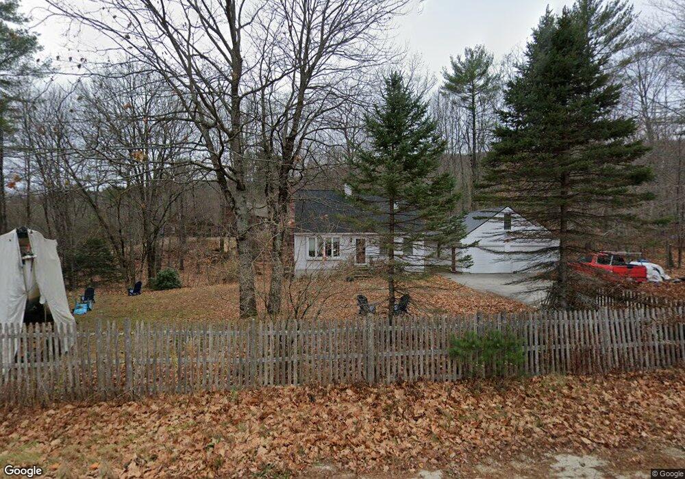
131 N Raymond Rd Poland, ME 04274
Estimated Value: $342,047 - $416,000
3
Beds
2
Baths
1,152
Sq Ft
$338/Sq Ft
Est. Value
About This Home
This home is located at 131 N Raymond Rd, Poland, ME 04274 and is currently estimated at $389,512, approximately $338 per square foot. 131 N Raymond Rd is a home located in Androscoggin County with nearby schools including Poland Community School, Bruce M. Whittier Middle School, and Poland Regional High School.
Ownership History
Date
Name
Owned For
Owner Type
Purchase Details
Closed on
Jan 8, 2014
Sold by
Fuller Ft
Bought by
Melia Fuller Robert D and Melia Dana
Current Estimated Value
Home Financials for this Owner
Home Financials are based on the most recent Mortgage that was taken out on this home.
Original Mortgage
$129,350
Interest Rate
4.29%
Mortgage Type
New Conventional
Create a Home Valuation Report for This Property
The Home Valuation Report is an in-depth analysis detailing your home's value as well as a comparison with similar homes in the area
Home Values in the Area
Average Home Value in this Area
Purchase History
| Date | Buyer | Sale Price | Title Company |
|---|---|---|---|
| Melia Fuller Robert D | -- | -- |
Source: Public Records
Mortgage History
| Date | Status | Borrower | Loan Amount |
|---|---|---|---|
| Closed | Melia Fuller Robert D | $129,350 |
Source: Public Records
Tax History Compared to Growth
Tax History
| Year | Tax Paid | Tax Assessment Tax Assessment Total Assessment is a certain percentage of the fair market value that is determined by local assessors to be the total taxable value of land and additions on the property. | Land | Improvement |
|---|---|---|---|---|
| 2024 | $3,223 | $195,000 | $55,900 | $139,100 |
| 2023 | $2,660 | $195,000 | $55,900 | $139,100 |
| 2022 | $2,454 | $162,500 | $46,600 | $115,900 |
| 2021 | $2,454 | $162,500 | $46,600 | $115,900 |
| 2020 | $2,434 | $162,500 | $46,600 | $115,900 |
| 2019 | $2,434 | $162,500 | $46,600 | $115,900 |
| 2018 | $2,434 | $162,500 | $46,610 | $115,890 |
| 2016 | $2,338 | $162,500 | $46,610 | $115,890 |
| 2015 | $2,308 | $162,500 | $46,610 | $115,890 |
| 2014 | $2,275 | $162,500 | $46,610 | $115,890 |
| 2013 | $2,218 | $162,500 | $46,610 | $115,890 |
Source: Public Records
Map
Nearby Homes
- 325 N Raymond Rd
- 192 Mountain Rd
- 80 Spiller Hill Rd
- 148 Spiller Hill Rd
- 6 Justrite Way
- 0 Mountain Rd
- 27 Justrite Way
- 0 Lucys Dr
- 4 Colonial Dr
- 26 Carpenter Rd
- Lot 47D -C Hines Rd
- 46-47D Hines Rd & Main St
- 255 Raymond Hill Rd
- 0 Gladstone Dr Unit 1642697
- 53 Westview Dr
- 343 Poland Spring Rd
- Lot 8 Bakerstown Rd
- 13 & 16 Joyal Hill Ln
- 37 Cobb Rd
- 10-7B White Oak Hill Rd
- 61 Cassie Ln
- 7 Cassie Ln
- M5 L12 N Raymond Rd
- Lot 2 N Raymond Rd
- 4 Cassie Ln
- 27 Cassie Ln
- Lot 1 N Raymond Rd
- 51 Cassie Ln
- 12 Cassie Ln
- 60 Cassie Ln
- 187 N Raymond Rd
- 0 Blackcat Mountain Rd
- 0 Black Cat Mountain
- 0 Old Blackcat Mountain Rd Unit 1008292
- 0 Old Blackcat Mountain Rd Unit 969247
- 0 Black Cat Mountain Rd
- 111 N Raymond Rd
- 108 N Raymond Rd
- 152 N Raymond Rd
- 32 Cassie Ln