


131 N Wilkins Rd Haw River, NC 27258
Estimated payment $741/month
Total Views
51,456
3.63
Acres
$34,435
Price per Acre
158,123
Sq Ft Lot
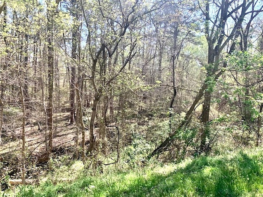
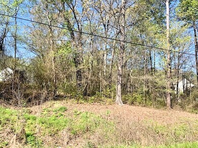
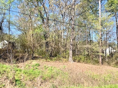
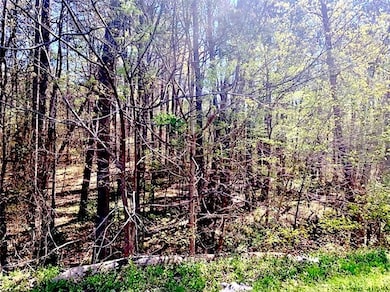
About This Lot
Close proximity to US Highway 70 and NC Highway 49; less than 2 miles from I-40/I-85 exit 150. N. Wilkins Rd. 8,400 AADT (2022).Currently zoned residential; water and sewer available on west side of Wilkins Rd. per Town of Haw River; buyer to verify.
Property Details
Property Type
- Land
Est. Annual Taxes
- $989
Lot Details
- 3.63 Acre Lot
- Property fronts a state road
- Irregular Lot
- Sloped Lot
- Wooded Lot
- Zoning described as R-G/R-12
Utilities
- Cable TV Available
Listing and Financial Details
- Assessor Parcel Number 8895731617
Map
Create a Home Valuation Report for This Property
The Home Valuation Report is an in-depth analysis detailing your home's value as well as a comparison with similar homes in the area
Home Values in the Area
Average Home Value in this Area
Tax History
| Year | Tax Paid | Tax Assessment Tax Assessment Total Assessment is a certain percentage of the fair market value that is determined by local assessors to be the total taxable value of land and additions on the property. | Land | Improvement |
|---|---|---|---|---|
| 2025 | $989 | $105,927 | $105,927 | $0 |
| 2024 | $963 | $105,927 | $105,927 | $0 |
| 2023 | $924 | $105,927 | $105,927 | $0 |
| 2022 | $820 | $64,392 | $64,392 | $0 |
| 2021 | $827 | $64,392 | $64,392 | $0 |
| 2020 | $833 | $64,392 | $64,392 | $0 |
| 2019 | $741 | $64,392 | $64,392 | $0 |
| 2018 | $0 | $64,392 | $64,392 | $0 |
| 2017 | $679 | $64,392 | $64,392 | $0 |
| 2016 | $543 | $51,270 | $51,270 | $0 |
| 2015 | $541 | $51,270 | $51,270 | $0 |
| 2014 | -- | $51,270 | $51,270 | $0 |
Source: Public Records
Property History
| Date | Event | Price | List to Sale | Price per Sq Ft |
|---|---|---|---|---|
| 08/22/2023 08/22/23 | Price Changed | $125,000 | -16.7% | -- |
| 04/04/2023 04/04/23 | For Sale | $150,000 | -- | -- |
Source: Alamance Multiple Listing Service
Source: Alamance Multiple Listing Service
MLS Number: 127090
APN: 154073
Nearby Homes
- 119 S Spray St
- 834 Stone St
- 325 Chris St
- 403 Rolling Rd
- 635 Black Angus Dr
- 460 Fran Dr
- 462 Fran Dr
- 464 Fran Dr
- 468 Fran Dr
- Vl Highway 70 E
- 523 E Main St
- 470 Fran Dr
- Cameron Plan at Lawson Townes
- VL Trollingwood Rd
- 1420 Haywood St
- 720 Roxboro St
- 0 State Highway 49
- 1679 U S 70
- 378 Boundary St
- 2084 Lake Point Dr
- 116 E Main St
- 2156 James Boswell Rd Unit 101
- 2156 James Boswell Rd Unit 100
- 2156 James Boswell Rd Unit 88
- 2156 James Boswell Rd Unit 98
- 2156 James Boswell Rd Unit 97
- 2156 James Boswell Rd Unit 36
- 2156 James Boswell Rd Unit 38
- 2156 James Boswell Rd Unit 106
- 1013 Town Branch Rd
- 1206 Bethpage Dr
- 2120 Waterside Cir
- 2310 Vantage Point
- 328 Iron Horse Ln
- 230 Pine Knot Ln
- 1020 Watercourse Cir
- 1211 Sweet Cherry Dr
- 1036 Cherry Stem Rd
- 1623 Lakeview Dr
- 2140 Monk Dr