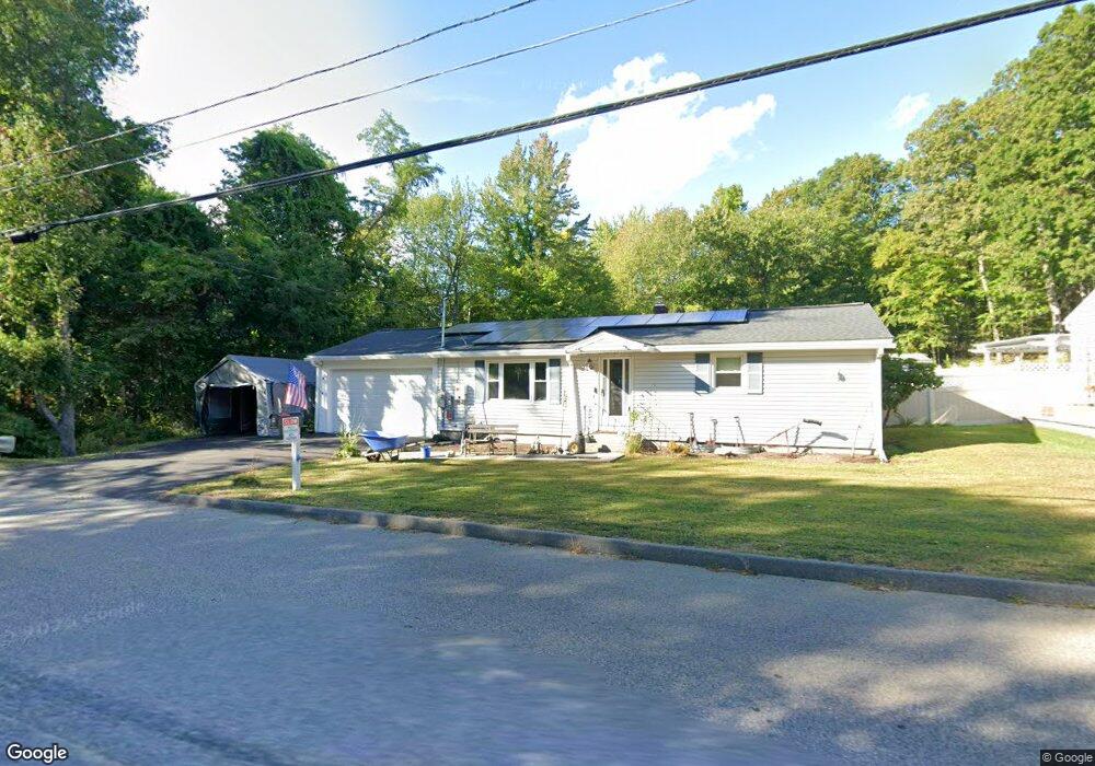
131 North St Leominster, MA 01453
Estimated Value: $424,000 - $443,000
2
Beds
1
Bath
1,050
Sq Ft
$409/Sq Ft
Est. Value
About This Home
This home is located at 131 North St, Leominster, MA 01453 and is currently estimated at $429,503, approximately $409 per square foot. 131 North St is a home located in Worcester County with nearby schools including Leominster High School, St Bernards Elementary School, and St. Leo School.
Ownership History
Date
Name
Owned For
Owner Type
Purchase Details
Closed on
Feb 2, 2024
Sold by
Marshall Harold P
Bought by
Marshall Harold P and Marshall Dawn M
Current Estimated Value
Purchase Details
Closed on
Dec 21, 2001
Sold by
Cormier Emma S
Bought by
Marshall Harold P and Marshall Loma D
Home Financials for this Owner
Home Financials are based on the most recent Mortgage that was taken out on this home.
Original Mortgage
$176,358
Interest Rate
6.54%
Mortgage Type
Purchase Money Mortgage
Create a Home Valuation Report for This Property
The Home Valuation Report is an in-depth analysis detailing your home's value as well as a comparison with similar homes in the area
Home Values in the Area
Average Home Value in this Area
Purchase History
| Date | Buyer | Sale Price | Title Company |
|---|---|---|---|
| Marshall Harold P | -- | None Available | |
| Marshall Harold P | $172,900 | -- |
Source: Public Records
Mortgage History
| Date | Status | Borrower | Loan Amount |
|---|---|---|---|
| Previous Owner | Marshall Harold P | $176,358 |
Source: Public Records
Tax History Compared to Growth
Tax History
| Year | Tax Paid | Tax Assessment Tax Assessment Total Assessment is a certain percentage of the fair market value that is determined by local assessors to be the total taxable value of land and additions on the property. | Land | Improvement |
|---|---|---|---|---|
| 2025 | $5,336 | $380,300 | $143,700 | $236,600 |
| 2024 | $5,145 | $354,600 | $136,800 | $217,800 |
| 2023 | $4,968 | $319,700 | $119,000 | $200,700 |
| 2022 | $4,756 | $287,200 | $103,600 | $183,600 |
| 2021 | $4,418 | $243,700 | $80,600 | $163,100 |
| 2020 | $4,215 | $234,400 | $80,600 | $153,800 |
| 2019 | $4,032 | $217,500 | $76,700 | $140,800 |
| 2018 | $3,938 | $203,700 | $74,400 | $129,300 |
| 2017 | $3,695 | $187,300 | $69,500 | $117,800 |
| 2016 | $3,556 | $181,600 | $69,500 | $112,100 |
| 2015 | $3,390 | $174,400 | $69,500 | $104,900 |
| 2014 | $3,308 | $175,100 | $75,600 | $99,500 |
Source: Public Records
Map
Nearby Homes
- 31 Park Ave
- 29 Lakeview Ave
- 67 Bernice Ave
- 3 Chase Ave
- 1084 Main St
- 121 Morningside St Unit 121
- 51 Claflin St
- 40 Flaggler Rd
- 14 Stetson St
- 291 Joslin St
- 11 Dale Ave
- 26 Otis St
- 471 North St
- 452 Hollis Rd
- 17 Fernwood Dr Unit G
- 51 Fox Meadow Rd Unit C
- 14 Fernwood Dr Unit D
- 70 Kilburn St
- 200-365 Hollis Rd
- 75 Dale Ave