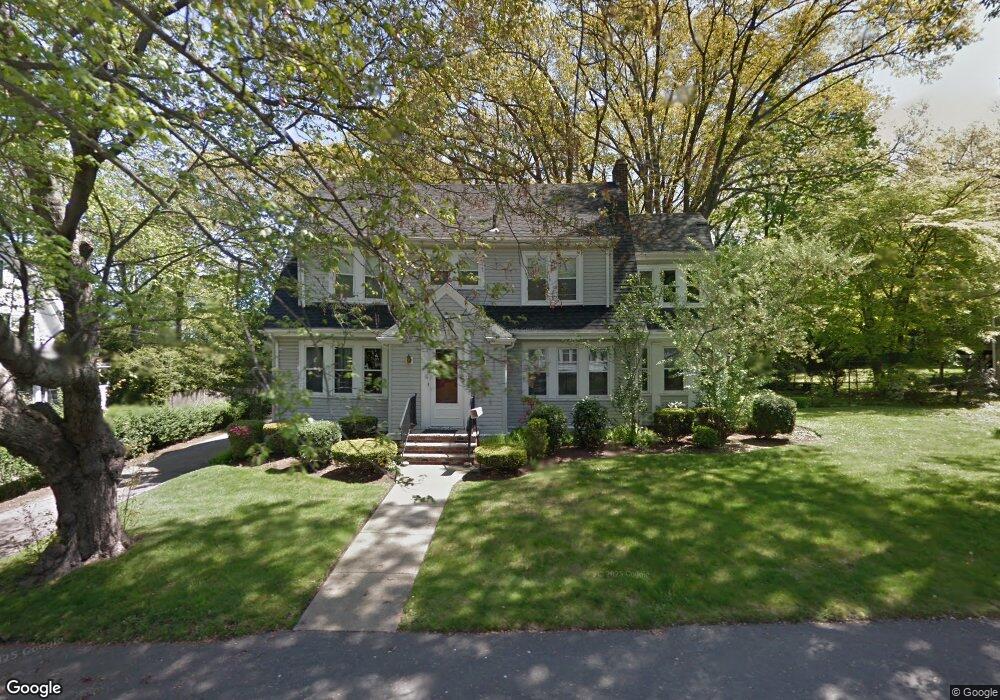
131 Oak St Braintree, MA 02184
North Braintree NeighborhoodEstimated Value: $977,000 - $1,206,000
4
Beds
2
Baths
2,470
Sq Ft
$437/Sq Ft
Est. Value
About This Home
This home is located at 131 Oak St, Braintree, MA 02184 and is currently estimated at $1,080,140, approximately $437 per square foot. 131 Oak St is a home located in Norfolk County with nearby schools including Braintree High School, Step Ahead Kindergarten, and Meeting House Montessori School.
Ownership History
Date
Name
Owned For
Owner Type
Purchase Details
Closed on
Jan 24, 2013
Sold by
Reagan Kathleen
Bought by
Reagan Kathleen and Fyfe Ian A
Current Estimated Value
Purchase Details
Closed on
Apr 6, 2004
Sold by
Reagan Kathleen A and Reagan Patrick M
Bought by
Reagan Kathleen A
Purchase Details
Closed on
Aug 23, 1991
Sold by
Tonner Richard C and Tonner Priscilla H
Bought by
Reagan Patrick M and Reagan Kathleen A
Purchase Details
Closed on
Feb 20, 1987
Sold by
Ryan Extrx Kathleen
Bought by
Tonner Richard G
Create a Home Valuation Report for This Property
The Home Valuation Report is an in-depth analysis detailing your home's value as well as a comparison with similar homes in the area
Home Values in the Area
Average Home Value in this Area
Purchase History
| Date | Buyer | Sale Price | Title Company |
|---|---|---|---|
| Reagan Kathleen | -- | -- | |
| Reagan Kathleen A | -- | -- | |
| Reagan Patrick M | $255,000 | -- | |
| Tonner Richard G | $249,900 | -- |
Source: Public Records
Mortgage History
| Date | Status | Borrower | Loan Amount |
|---|---|---|---|
| Previous Owner | Tonner Richard G | $100,000 | |
| Previous Owner | Tonner Richard G | $208,000 | |
| Previous Owner | Tonner Richard G | $100,000 |
Source: Public Records
Tax History
| Year | Tax Paid | Tax Assessment Tax Assessment Total Assessment is a certain percentage of the fair market value that is determined by local assessors to be the total taxable value of land and additions on the property. | Land | Improvement |
|---|---|---|---|---|
| 2025 | $9,412 | $943,100 | $452,400 | $490,700 |
| 2024 | $8,317 | $877,300 | $404,000 | $473,300 |
| 2023 | $7,936 | $813,100 | $366,300 | $446,800 |
| 2022 | $7,662 | $770,000 | $323,200 | $446,800 |
| 2021 | $7,398 | $743,500 | $323,200 | $420,300 |
| 2020 | $6,948 | $704,700 | $284,400 | $420,300 |
| 2019 | $6,663 | $660,400 | $284,400 | $376,000 |
| 2018 | $6,520 | $618,600 | $258,500 | $360,100 |
| 2017 | $6,473 | $602,700 | $258,500 | $344,200 |
| 2016 | $6,102 | $555,700 | $232,700 | $323,000 |
| 2015 | $6,005 | $542,500 | $232,700 | $309,800 |
| 2014 | $5,468 | $478,800 | $192,800 | $286,000 |
Source: Public Records
Map
Nearby Homes
- 6 Oak St
- 491 Washington St Unit 1
- 29 Joseph Rd
- 30 Church St Unit 4
- 5 Woodsum Dr Unit 12
- 15 Calvin St
- 9 Independence Ave Unit 307
- 50 Cleveland Ave
- 17 White Rd
- 255 River St
- 36 Chestnut Ave
- 47 Addison St
- 192 Federal Ave Unit B
- 347 Centre St
- 21 Totman St Unit 308
- 21 Totman St Unit 205
- 21 Totman St Unit 404
- 21 Totman St Unit 309
- 21 Totman St Unit 203
- 21 Totman St Unit PH-406
Your Personal Tour Guide
Ask me questions while you tour the home.