131 Oakcrest Rd Huntsville, AL 35811
Moores Mill NeighborhoodEstimated Value: $215,000 - $264,000
3
Beds
2
Baths
1,400
Sq Ft
$172/Sq Ft
Est. Value
About This Home
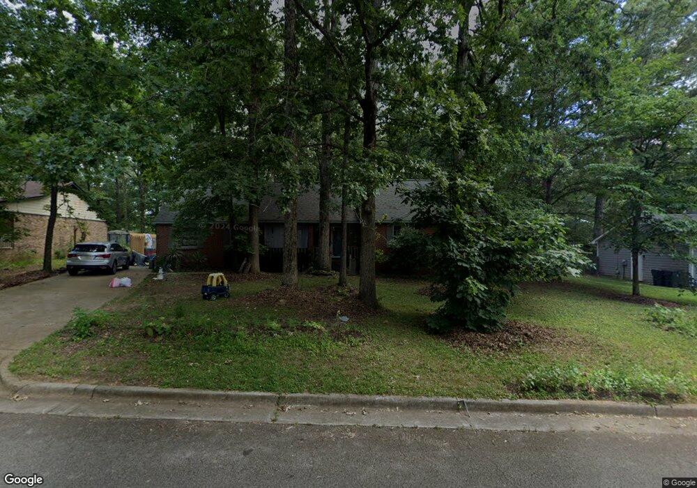
This home is located at 131 Oakcrest Rd, Huntsville, AL 35811 and is currently estimated at $241,301, approximately $172 per square foot. 131 Oakcrest Rd is a home located in Madison County with nearby schools including Mt Carmel Elementary School, Riverton Intermediate School, and Buckhorn Middle School.
Ownership History
Date
Name
Owned For
Owner Type
Purchase Details
Closed on
Aug 23, 2007
Sold by
Reaves David A and Reaves Jennifer N
Bought by
Burgiel Michael C and Read Brenna T
Current Estimated Value
Home Financials for this Owner
Home Financials are based on the most recent Mortgage that was taken out on this home.
Original Mortgage
$109,610
Interest Rate
6.65%
Mortgage Type
New Conventional
Create a Home Valuation Report for This Property
The Home Valuation Report is an in-depth analysis detailing your home's value as well as a comparison with similar homes in the area
Home Values in the Area
Average Home Value in this Area
Purchase History
| Date | Buyer | Sale Price | Title Company |
|---|---|---|---|
| Burgiel Michael C | -- | -- |
Source: Public Records
Mortgage History
| Date | Status | Borrower | Loan Amount |
|---|---|---|---|
| Closed | Burgiel Michael C | $109,610 |
Source: Public Records
Tax History Compared to Growth
Tax History
| Year | Tax Paid | Tax Assessment Tax Assessment Total Assessment is a certain percentage of the fair market value that is determined by local assessors to be the total taxable value of land and additions on the property. | Land | Improvement |
|---|---|---|---|---|
| 2024 | $720 | $21,420 | $4,500 | $16,920 |
| 2023 | $720 | $20,980 | $4,500 | $16,480 |
| 2022 | $595 | $17,860 | $3,000 | $14,860 |
| 2021 | $536 | $16,260 | $3,000 | $13,260 |
| 2020 | $391 | $12,170 | $2,000 | $10,170 |
| 2019 | $373 | $11,700 | $2,000 | $9,700 |
| 2018 | $352 | $11,120 | $0 | $0 |
| 2017 | $342 | $10,840 | $0 | $0 |
| 2016 | $342 | $10,840 | $0 | $0 |
| 2015 | $342 | $10,840 | $0 | $0 |
| 2014 | $338 | $10,740 | $0 | $0 |
Source: Public Records
Map
Nearby Homes
- 0.40 acres Laurel Oak Rd
- 154 Stone Hill Dr
- 242 Stone Hill Dr
- Raleigh Pennington Ave
- Cambridge Pennington Ave
- Charleston Pennington Ave
- Shelburne Pennington Ave
- Bennington Pennington Ave
- Blakley Pennington Ave
- The Cambridge Plan at Pennington
- The Raleigh Plan at Pennington
- The Manhattan Plan at Pennington
- The Lincoln Plan at Pennington
- The Winston Plan at Pennington
- The Bennington Plan at Pennington
- The Shelburne Plan at Pennington
- The Savannah Plan at Pennington
- The Charleston Plan at Pennington
- Winston Pennington Ave
- Independence II Plan at St. Clair Place - Ranchers
- 129 Oakcrest Rd
- 133 Oakcrest Rd
- 265 Robinson Rd
- 127 Oakcrest Rd
- 135 Oakcrest Rd
- 257 Robinson Rd
- 273 Robinson Rd
- 132 Oakcrest Rd
- 134 Oakcrest Rd
- 130 Oakcrest Rd
- 249 Robinson Rd
- 281 Robinson Rd
- 128 Oakcrest Rd
- 137 Oakcrest Rd
- 105 Holly Oak Ln
- 136 Oakcrest Rd
- Lot 79 Robinson Rd
- 241 Robinson Rd
- 109 Holly Oak Ln
- 138 Oakcrest Rd