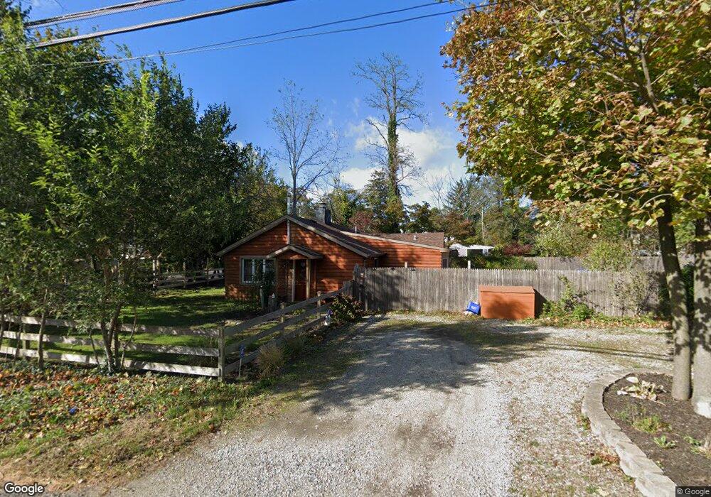
131 Olive St Huntington Station, NY 11746
Estimated Value: $574,000 - $685,000
--
Bed
--
Bath
--
Sq Ft
10,454
Sq Ft Lot
About This Home
This home is located at 131 Olive St, Huntington Station, NY 11746 and is currently estimated at $641,864. 131 Olive St is a home located in Suffolk County with nearby schools including Woodhull Intermediate School, Washington School, and J Taylor Finley Middle School.
Ownership History
Date
Name
Owned For
Owner Type
Purchase Details
Closed on
May 26, 2004
Sold by
Malone Dorothy and Gordin Eva E
Bought by
Hanke John M and Hanke Patricia J
Current Estimated Value
Home Financials for this Owner
Home Financials are based on the most recent Mortgage that was taken out on this home.
Original Mortgage
$63,000
Outstanding Balance
$30,776
Interest Rate
5.99%
Mortgage Type
Stand Alone Second
Estimated Equity
$611,088
Purchase Details
Closed on
Feb 8, 2001
Sold by
Malone Dorothy
Bought by
Malone Dorothy and Gordin Eva E
Create a Home Valuation Report for This Property
The Home Valuation Report is an in-depth analysis detailing your home's value as well as a comparison with similar homes in the area
Home Values in the Area
Average Home Value in this Area
Purchase History
| Date | Buyer | Sale Price | Title Company |
|---|---|---|---|
| Hanke John M | $315,000 | Liberty Land Title Agency | |
| Malone Dorothy | -- | First American Title Ins Co |
Source: Public Records
Mortgage History
| Date | Status | Borrower | Loan Amount |
|---|---|---|---|
| Open | Hanke John M | $63,000 | |
| Open | Hanke John M | $252,000 |
Source: Public Records
Tax History Compared to Growth
Tax History
| Year | Tax Paid | Tax Assessment Tax Assessment Total Assessment is a certain percentage of the fair market value that is determined by local assessors to be the total taxable value of land and additions on the property. | Land | Improvement |
|---|---|---|---|---|
| 2024 | $7,615 | $2,200 | $350 | $1,850 |
| 2023 | $3,808 | $2,200 | $350 | $1,850 |
| 2022 | $7,520 | $2,200 | $350 | $1,850 |
| 2021 | $7,420 | $2,200 | $350 | $1,850 |
| 2020 | $7,320 | $2,200 | $350 | $1,850 |
| 2019 | $14,639 | $0 | $0 | $0 |
| 2018 | $6,846 | $2,200 | $350 | $1,850 |
| 2017 | $6,846 | $2,200 | $350 | $1,850 |
| 2016 | $6,760 | $2,200 | $350 | $1,850 |
| 2015 | -- | $2,200 | $350 | $1,850 |
| 2014 | -- | $2,050 | $350 | $1,700 |
Source: Public Records
Map
Nearby Homes
- 12 Foxdale Ct
- 217 Broadway
- 12 Canyon St
- 16 Sunset Dr
- 71 Biltmore Cir
- 62 Lowndes Ave
- 11 Spring Ct
- 98 Woodhull Rd
- 22 Meadowood Ct
- 2 Spring Ct
- 26 Townhouse Rd S Unit 26
- 200 Lowndes Ave Unit A
- 148 Lenox Rd
- 280 Lowndes Ave Unit 208
- 280 Lowndes Ave Unit 305G
- 280 Lowndes Ave Unit 111G
- 634 Park Ave
- 2202 Townhome Way
- 0 Tower St
- 49 Tower St