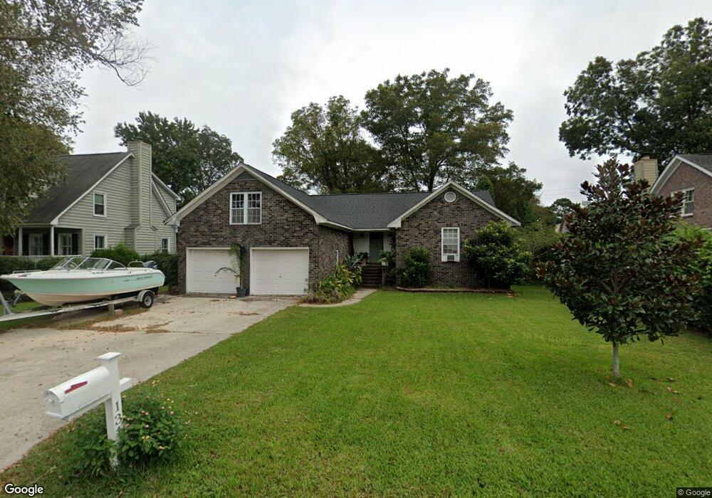
131 Oyster Point Row Charleston, SC 29412
James Island NeighborhoodEstimated Value: $526,000 - $646,000
3
Beds
2
Baths
1,806
Sq Ft
$331/Sq Ft
Est. Value
About This Home
This home is located at 131 Oyster Point Row, Charleston, SC 29412 and is currently estimated at $598,009, approximately $331 per square foot. 131 Oyster Point Row is a home located in Charleston County with nearby schools including Harbor View Elementary School, Camp Road Middle, and James Island Charter High School.
Ownership History
Date
Name
Owned For
Owner Type
Purchase Details
Closed on
Feb 22, 2011
Sold by
Seeney Thomas L
Bought by
Wynne Clayton Ashworth
Current Estimated Value
Home Financials for this Owner
Home Financials are based on the most recent Mortgage that was taken out on this home.
Original Mortgage
$122,000
Outstanding Balance
$83,402
Interest Rate
4.76%
Mortgage Type
Future Advance Clause Open End Mortgage
Estimated Equity
$514,607
Purchase Details
Closed on
Nov 11, 2009
Sold by
Seeney Robyn T
Bought by
Seeney Thomas L
Create a Home Valuation Report for This Property
The Home Valuation Report is an in-depth analysis detailing your home's value as well as a comparison with similar homes in the area
Home Values in the Area
Average Home Value in this Area
Purchase History
| Date | Buyer | Sale Price | Title Company |
|---|---|---|---|
| Wynne Clayton Ashworth | $152,500 | -- | |
| Seeney Thomas L | -- | -- |
Source: Public Records
Mortgage History
| Date | Status | Borrower | Loan Amount |
|---|---|---|---|
| Open | Wynne Clayton Ashworth | $122,000 |
Source: Public Records
Tax History Compared to Growth
Tax History
| Year | Tax Paid | Tax Assessment Tax Assessment Total Assessment is a certain percentage of the fair market value that is determined by local assessors to be the total taxable value of land and additions on the property. | Land | Improvement |
|---|---|---|---|---|
| 2024 | $1,342 | $9,660 | $0 | $0 |
| 2023 | $1,342 | $9,660 | $0 | $0 |
| 2022 | $1,231 | $9,660 | $0 | $0 |
| 2021 | $1,289 | $9,660 | $0 | $0 |
| 2020 | $1,335 | $9,660 | $0 | $0 |
| 2019 | $1,192 | $8,400 | $0 | $0 |
| 2017 | $1,152 | $8,400 | $0 | $0 |
| 2016 | $1,106 | $8,400 | $0 | $0 |
| 2015 | $1,142 | $8,400 | $0 | $0 |
| 2014 | $1,092 | $0 | $0 | $0 |
| 2011 | -- | $0 | $0 | $0 |
Source: Public Records
Map
Nearby Homes
- 50 Held Cir Unit C
- 14 Clam Shell Row
- 36 Forde Row
- 14 Maplecrest Dr
- 9 Maplecrest Dr
- 10 Bass Ln Unit D
- 1 Maplecrest Dr
- 1563 Relyea Ave
- 1616 Relyea Ave
- 35 Rivers Point Row Unit A
- 1632 N Relyea Ave
- 27 Brockman Dr Unit 27B
- 27 Brockman Dr Unit 27C
- 17 S Anderson Ave Unit A,B,C, D
- 1514 Patterson Ave
- 1 S Anderson Ave
- 1004 Point of Light Ln
- 1531 Inland Ave
- 21 Rivers Point Row Unit 11 C
- 21 Rivers Point Row Unit 3C
- 133 Oyster Point Row
- 129 Oyster Point Row
- 32 Held Cir
- 30 Held Cir
- 135 Oyster Point Row
- 34 Held Cir
- 127 Oyster Point Row
- 126 Oyster Point Row
- 124 Oyster Point Row
- 36 Held Cir
- 128 Oyster Point Row
- 137 Oyster Point Row
- 125 Oyster Point Row
- 38 Held Cir
- 28 Held Cir
- 130 Oyster Point Row
- 122 Oyster Point Row
- 3 Clam Shell Row
- 139 Oyster Point Row
- 29 Held Cir